Canyonlands National Park is located in southeastern Utah near the town of Moab. It preserves a colorful landscape eroded into countless canyons, mesas, and buttes by the Colorado River, the Green River, and their respective tributaries. Legislation creating the park was signed into law by President Lyndon Johnson on September 12, 1964.
The park is divided into four districts: the Island in the Sky, the Needles, the Maze, and the combined rivers—the Green and Colorado—which carved two large canyons into the Colorado Plateau. While these areas share a primitive desert atmosphere, each retains its own character.
It is a very large park, covering an area of 337,598 acres (527.497 sq mi; 136,621 ha; 1,366.21 km2). The areas are not all easily accessible and are separated by long circuitous routes. It would require much more time than we had available to cover all the areas. We confined our exploring and photography to the Island in the Sky area of the Park. The Island in the Sky mesa rests on sheer sandstone cliffs over 1,000 feet above the surrounding terrain. Every overlook offers a different perspective on Canyonlands’ spectacular landscape. The Island is the easiest district to visit in a short period of time, offering many pullouts with spectacular views along the paved scenic drive.
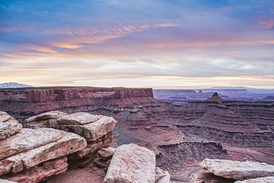
On our first morning, we were driven to our first photo site, Marlboro Point in time for the sunrise. My first picture features one of the expansive views from Island in the Sky.
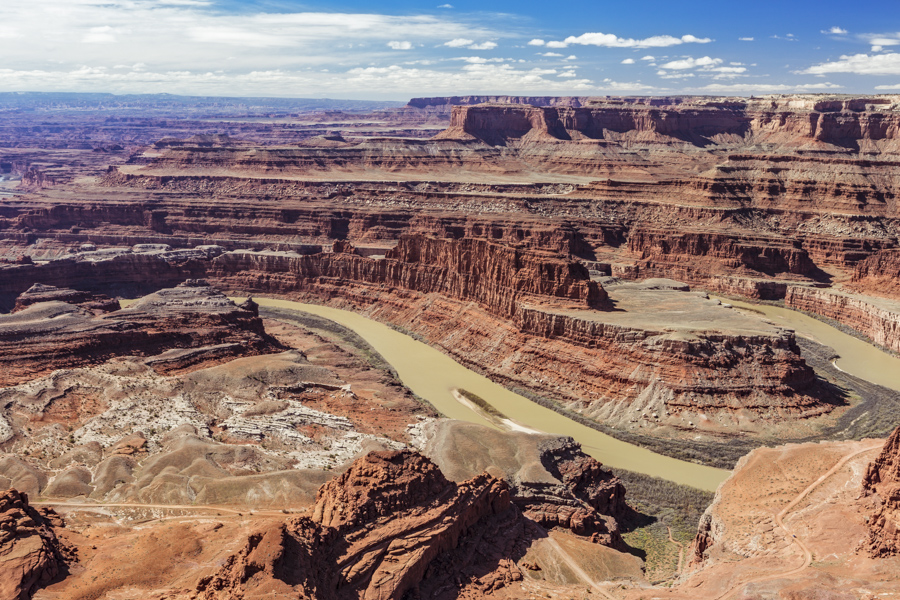
The site of this next scene is outside the National Park, residing in the adjacent Dead Horse Point State Park. Same terrain, different jurisdiction. The variety of views at this park are fewer, but the park does feature this spectacular view of the namesake point. That’s the Colorado River winding its way through the rugged terrain it created.
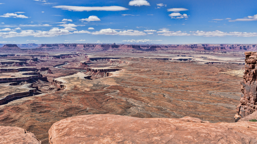
Another great vantage point is the Green River Overlook, named for that river that you see in the bottom of the canyon. You will notice the white rim outlining the edge of the lower level of the canyon. It is not surprisingly referred to as the White Rim. It the exposed edge of one of many layers of sedimentary rock found in the walls of the canyon. It’s white sandstone, revealed by the erosive action of the Green River.
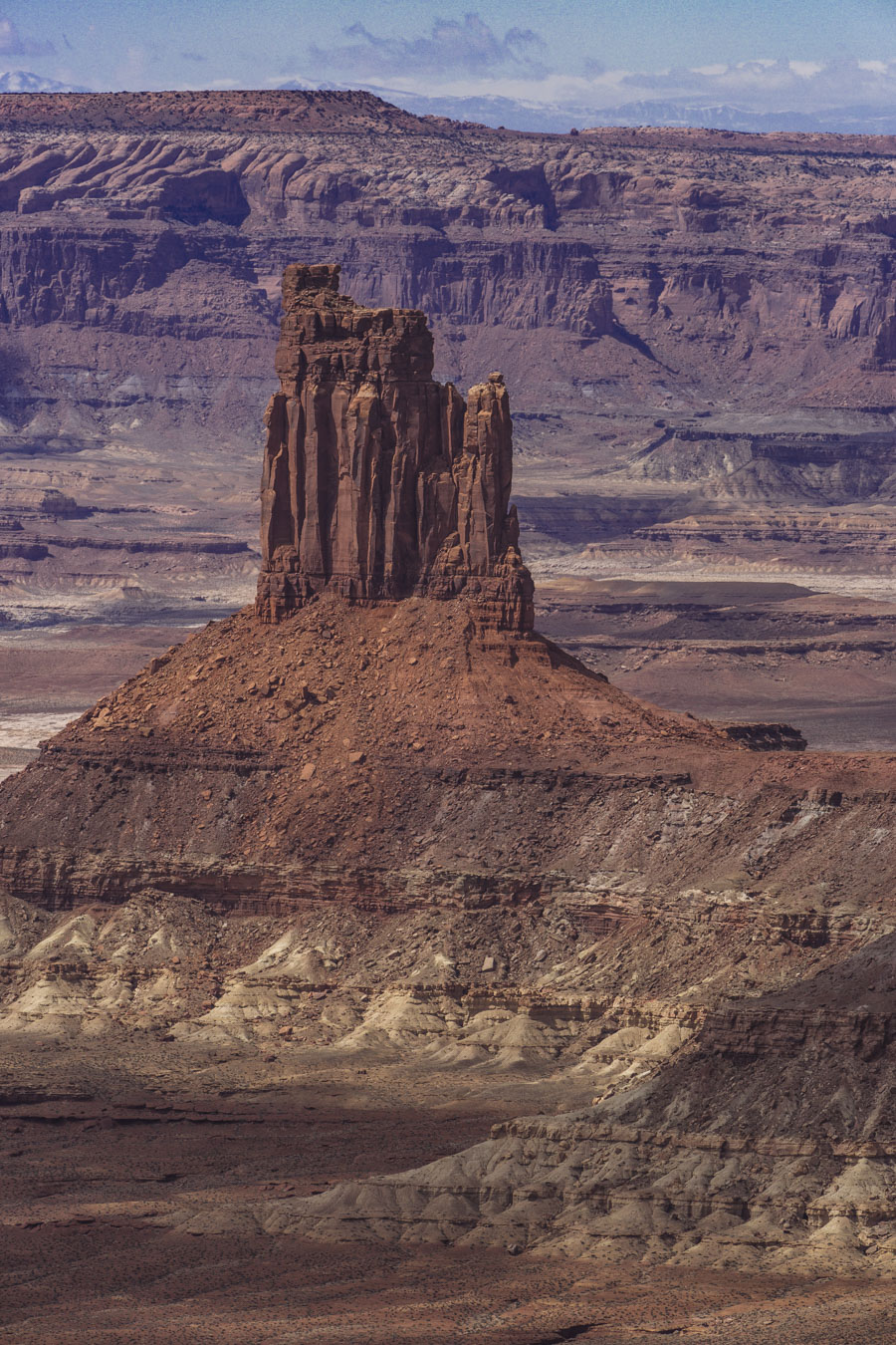
This next photo is a close-up view of Candlestick Tower, a prominent butte of red sandstone on the west side of the Island in the Sky mesa, whose shape resembles a candlestick.
I took this picture as we approached the edge of Shafer Canyon, on the east side of Island in the Sky. I like to photograph the remains of some old Utah Junipers. They make a good contribution to the foreground of any photograph in this area. The canyon overlook is just beyond to the left.
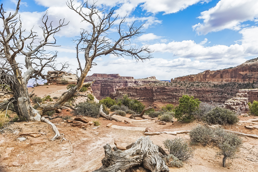
I was able to secure several good locations to photograph the canyon from the overlook. I liked this one the best, offering a great view of this canyon’s expanse.
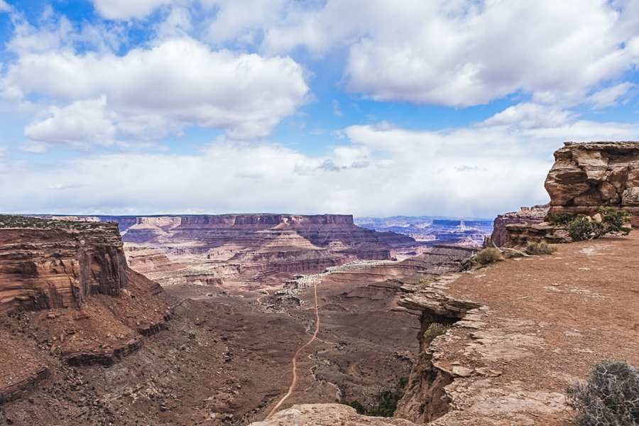
I’ve visited Canyonlands on three occasions now and I have yet to scratch the surface of what there is to see. I never really budget sufficient time to reach the far flung corners of this massive and intriguing park. Author Edward Abbey, a frequent visitor, described the Canyonlands as “the most weird, wonderful, magical place on earth—there is nothing else like it anywhere.” He may be on to something.
I wish to thank my companions on this tour to the Moab area, Barry Stewart and Bill McAdam for their great company. It was a wonderful photographic experience with a bunch of fun thrown in!

Thanks Peter…beautiful pics….heading there tomorrow 🙂
Helen
Wonderrul images. I particularly like the Island in the Sky landscape.. Well managed focus – near and far. Wonderful pastel colours, from sky to earth. Thoughtful composition. Nice work.