Yesterday, accompanied by Bob Bear and Hugh Williamson, I returned to the Stanley Glacier, a photo site Bob and I visited last year. We returned with the hope of having better conditions for photography than we did on our last visit, hampered on that occasion by smoke from forest fires, primarily in the U.S. Northwest. (You can see last year’s post here…https://www.shotsbypeter.com/blog/?p=9382)
Yesterday’s conditions were better despite heavy clouds and intermittent rain. The clouds were in motion and we were able to capture constantly moving cloud patterns spilling over Stanley Peak.
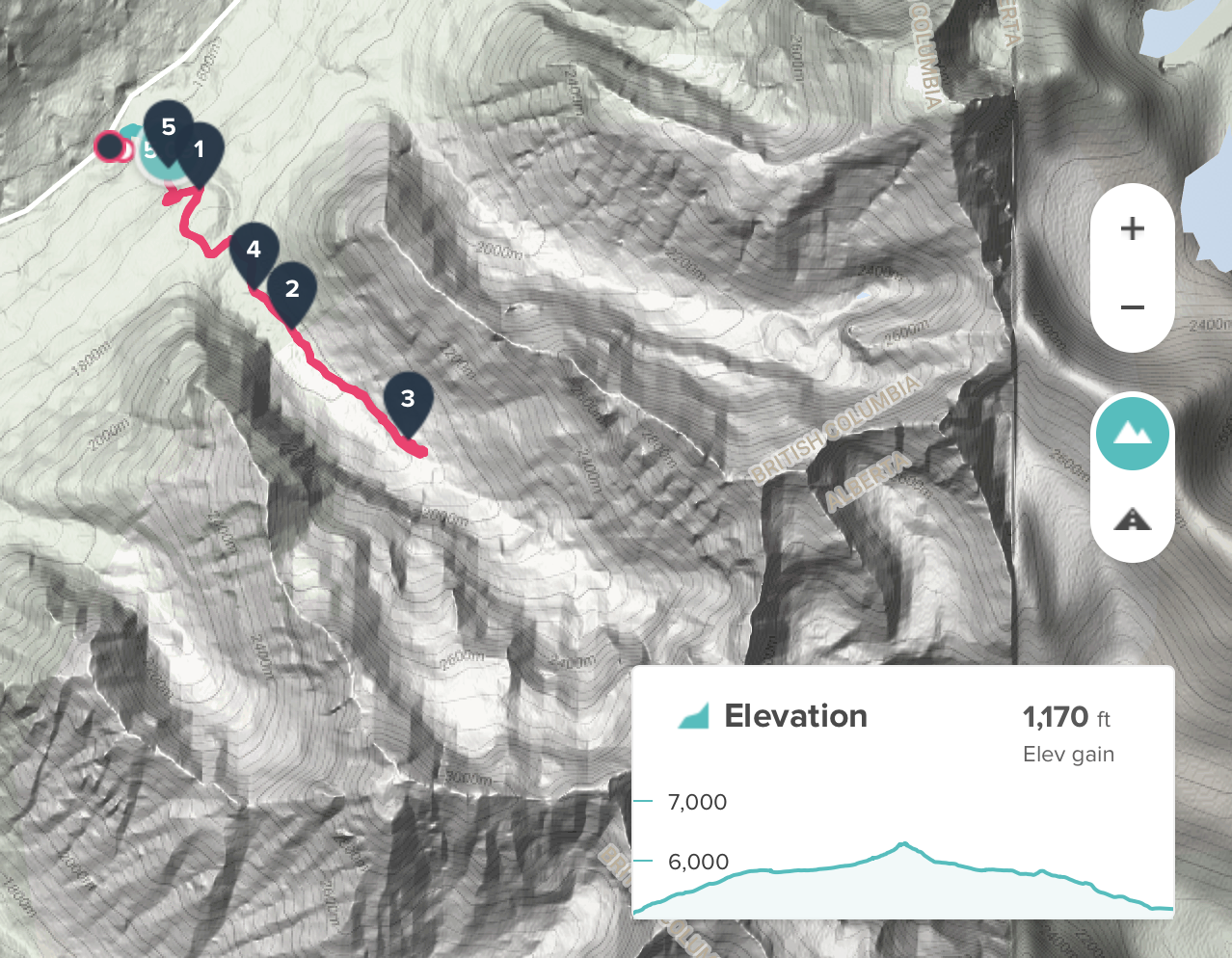
The Stanley Glacier is located in Kootenay National Park, British Columbia, about 65 km from home in Canmore. The glacier is at the end of a canyon bounded by Storm Mountain and Stanley Peak. It sits atop Stanley Peak and spills meltwater over a precipice into the canyon, where it becomes Stanley Creek. We hiked up the canyon to a viewpoint where we could get good photographs of the glacier and a waterfall streaming over the edge of the canyon wall. (Map and a record of our path courtesy of FitBit.)
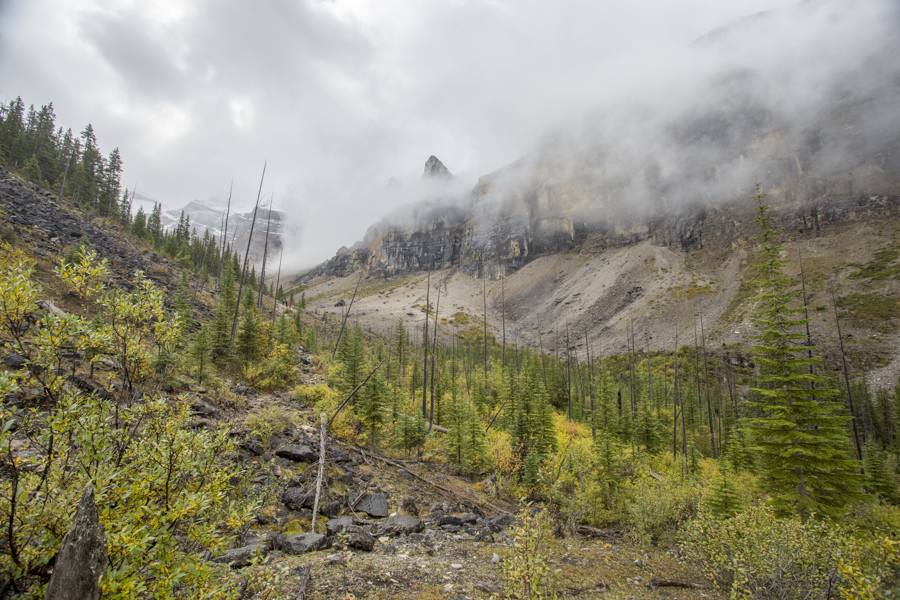
Today’s first two photos were taken en route to the glacier. This first one is a view up the canyon, a wide angle shot of its far end. At this moment, the glacier was obscured by a cloud curtain just to the left of the jagged peak.
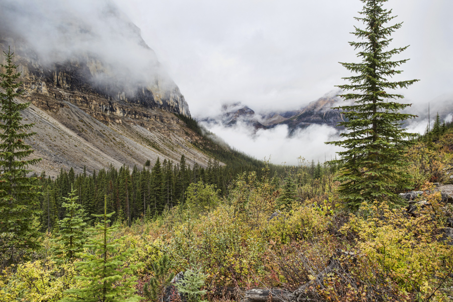
This next photograph, also taken en route is a view down the canyon toward the trailhead on Highway 93. You can glimpse Mount Whyper through the clouds on the opposite side of the highway.
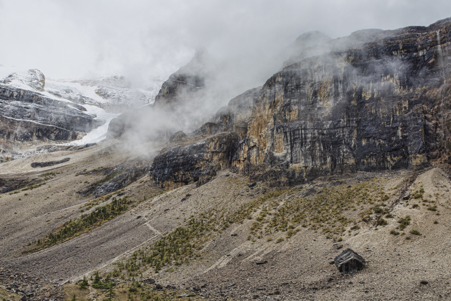
We reached our destination at the summit of the trail around 11:30 am. We spent an hour having lunch, taking pictures and chatting with some fellow hikers before beginning our trek back to the trailhead. This next picture, taken at the viewpoint shows the cliff at the base of Stanley Peak with one of the tongues of the glacier emerging on the left. You can also observe a wispy waterfall plunging over the cliff on the far right of the picture. What looks like a cabin in the bottom right of the scene is a boulder, albeit as large as a house!
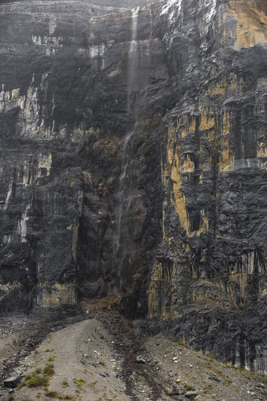
Following is a photograph of the waterfall, taken with a telephoto lens. This is runoff from the glacier; not a lot of water at this time of year since most of the snow accumulated atop the glacier in winter has long since melted over the summer.
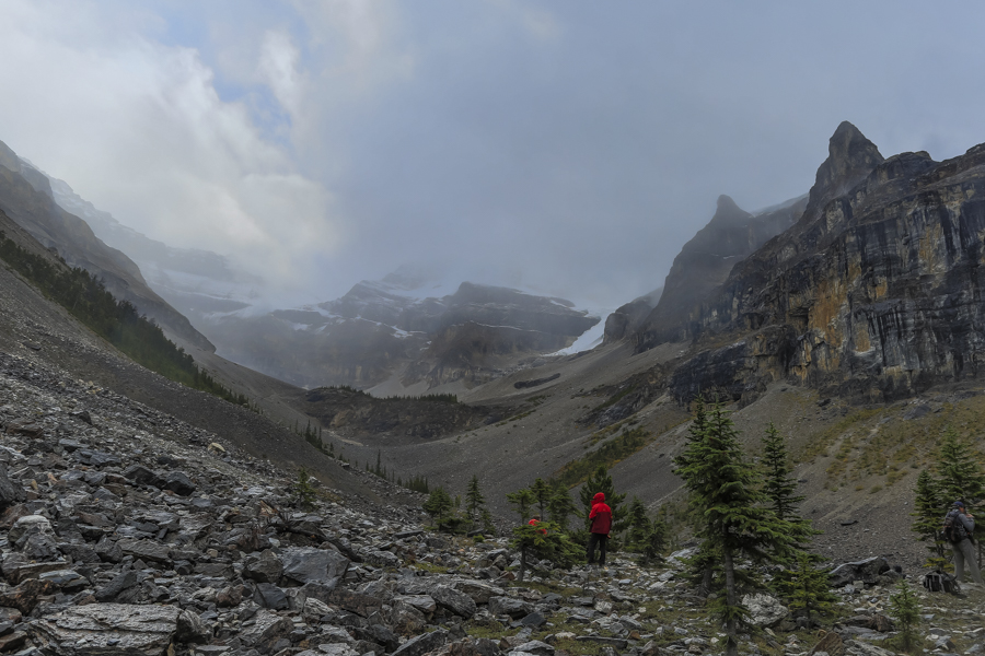
One final shot, looking up the canyon toward its far end where it is walled off by Storm Mountain. This picture offers a good view of the glacier on both sides of the peak at the far end of the canyon.You can also see a glimpse of blue sky through the ever changing cloud cover we experienced yesterday.
The downhill segment of a hike is always great. We arrived at the trailhead at about 2:00 pm, satisfied with an invigorating day in the mountains and some good pictures as a reminder of the experience.
