On our recent trip to Page, AZ Bill McAdam and I traveled through an an amazing variety of scenery. From Scottsdale, it’s an uphill trip from the Sonoran Desert, through some high, barren plains before reaching the mountainous country around Sedona. Soon afterward, we arrived at the Coconino National Forest, a snowy landscape treed with majestic Ponderosa Pines, just before reaching the city of Flagstaff (elevation 6,910 ft/2,106 metres). North of Flagstaff, we passed the San Francisco Peaks, home to Arizona’s tallest mountain (Humphreys Peak) and the Arizona Snowbowl ski resort. As we descended from the higher country around Flagstaff, the trees, snow and grasslands gave way to the Painted Desert, a barren region inhabited by the Navajo. The landscape looks more lunar than earthly, but its stark yet colourful beauty is very appealing. We stopped a couple of times to get some pictures, including this shot of a stratified mound along the roadside.
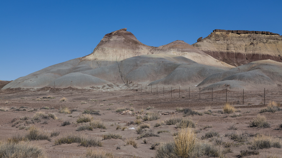
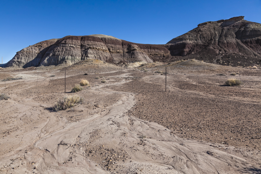
Soon afterward, we came upon this area, coloured in shades of brown. It’s an arid place but the dried deposits of sand are evidence of rivulets having run down the slope in the recent past. It doesn’t happen often but the rainfall seems sufficient to sustain the ubiquitous tumbleweed.
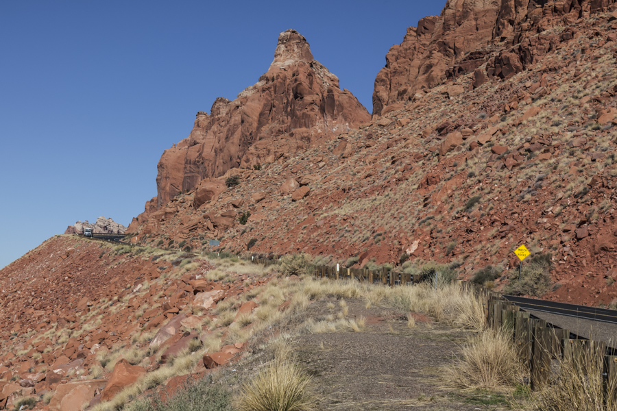
The next landscape we encountered is a mountainous ridge we crossed on the last leg of our trek to Page. This picture shows Highway 89’s ascent of the ridge, where we stopped to enjoy the scenery from a roadside pullout. In the early morning hours of Feb. 20, 2013, a landslide ripped through US 89 along this mountain slope about 25 miles south of Page, buckling more than 150 feet of the roadway. The Arizona Department of Transport completed extensive repairs on the highway and reopened the road on March 27, 2015. I was pleased to see the road open again; it shortens the trip to Page and makes accessible some beautiful scenery.
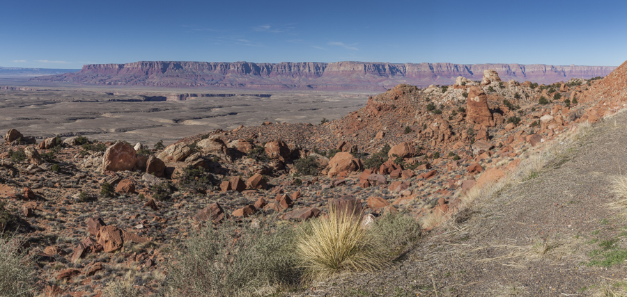
This next image shows the panoramic view from the pullout where we stopped. Just beyond the foreground, you can see Colorado River Gorge, meandering toward the Grand Canyon, about 22 miles distant (35 km). Beyond the gorge is a vast mesa, part of the Grand Staircase-Escalante National Monument, 1.7 million-acres of diverse, rugged terrain accessible for camping, hunting and hiking.
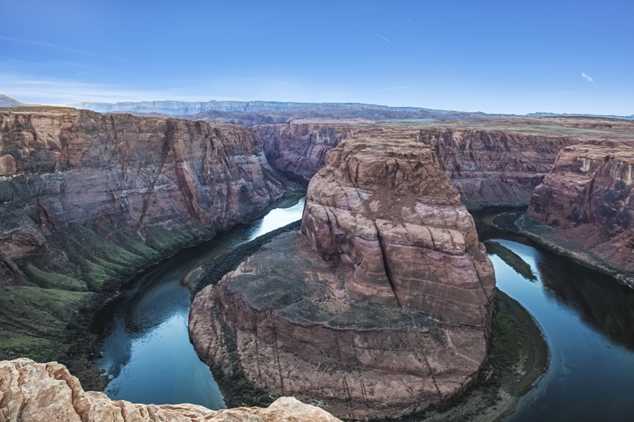
My final picture for today features Horseshoe Bend, a prominent meander in the Colorado River, a few miles downstream of Page. It’s a popular stop for tourists and photographers, a place I’ve visited on many occasions. It’s picturesque and spectacular. Bill and I agree it’s also scary, with a 1000 ft. (305 m.) drop to the bottom.
Travellers often say that the voyage is as enjoyable as the destination. That is very much the case when traveling to Page. We spent a very pleasurable day, enjoying and photographing the scenery along the way.

A M A Z I N G ?
Nice shots, Peter. Brought back fine memories of our photography journey of a number of years ago to that part of the world. Beautiful. It’s been called the “place where God goes to rest.” Easy to understnd why.