Before we left Page, Bill and I concluded our photographic excursion by visiting and shooting the Glen Canyon Dam. Glen Canyon Dam is a concrete dam on the Colorado River, near the town of Page. The dam was built by the U.S. Bureau of Reclamation from 1956 to 1966 and forms Lake Powell. The dam is named for Glen Canyon, a series of deep sandstone gorges now flooded by the reservoir. Lake Powell is named for John Wesley Powell, who in 1869 led the first expedition to traverse the Grand Canyon by boat.
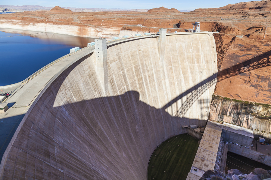
My first picture captures a view of the dam’s face from top to bottom. The dam is 1,560 ft (480 m) in length by 710 ft (220 m) high, comparable in size to Hoover Dam, [1,244 ft (379 m) in length by 726.4 ft (221.4 m) in height], located about 300 miles (480 km) downstream on the opposite side of the Grand Canyon. This view of the dam provides a sense of its enormous size. In total, the dam contains 5,370,000 cubic yards (4,110,000 m3) of concrete and 28,900,000 pounds (13,100,000 kg) of reinforcing steel.

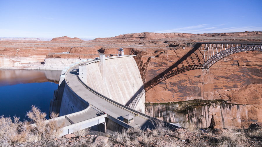
Another perspective, including a view of the Navajo Bridge, crossing the Glen Canyon, just downstream of the dam..

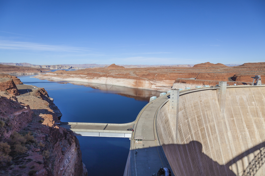
Upstream from the dam, is Lake Powell, the reservoir created by the dam, straddling the border between Utah and Arizona. It is a major vacation spot that attracts around 2 million people every year. It is the second largest man-made reservoir by maximum water capacity in the United States behind Lake Mead, the reservoir created by the Hoover Dam.

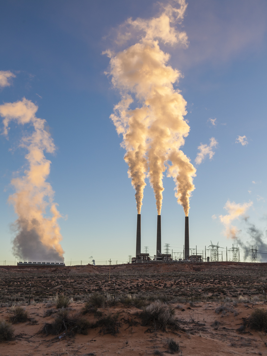
Interestingly, the Glen Canyon Dam is not the only electric power generating facility in the area. Page is also home to the Navajo Generating Station, a coal-fired power plant. With a capacity of 2,250 MW, the Navajo’s output exceeds the dam’s rated capacity of 1,320 MW. The Page facilities provide power to parts of many western states. I captured the following picture of the Navajo Generating Station early Sunday morning on our way to the Antelope Canyons.


Nice shots?