I’ve had a good photography run recently, visiting three provinces in the past 2 months and of course, taking some pictures near home. The subjects of my latest blogs have featured photographs from Newfoundland, Saskatchewan, Alberta and now, British Columbia. Last week, we traveled to Squamish B.C. for Thanksgiving with our son, Jon and his family. It’s a 12 hour drive but very scenic with many good photographic opportunities. Squamish itself is an attractive community, located less than an hour from Vancouver and about thirty minutes from Whistler, B.C.’s premier, all season recreational venue.
I begin with some pictures taken in Squamish. Squamish is situated at the far end of Howe Sound, an inlet from the Strait of Georgia which separates Vancouver Island from Mainland British Columbia. Squamish is surrounded by the mountains of the Coast Range creating a mecca for tourists, photographers and sports enthusiasts.
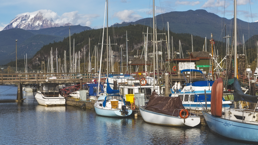
Of course, Squamish has a marina and yacht club offering access to a vast network of west coast waterways. This particular view of the marina features a local landmark, Mount Garibaldi in the background.
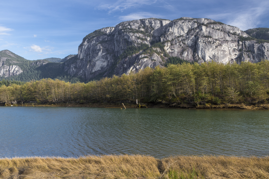
Another well known Squamish landmark is the Stawamus Chief, officially Stawamus Chief Mountain. It’s a granite dome, towering over 700 m (2,297 ft) above the waters of nearby Howe Sound. It is often claimed to be the “second largest granite monolith in the world” (a geological feature consisting of a single massive stone or rock). It’s a popular challenge for rock climbers.
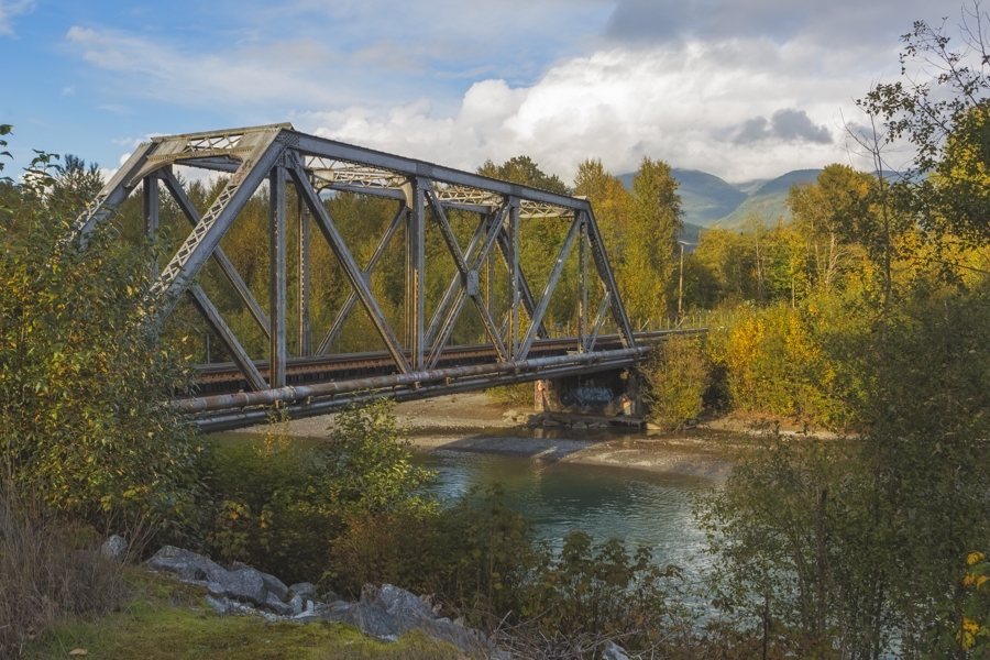
The next picture is a pretty common scene, not necessarily unique to Squamish. I photographed it because I think it makes a nice picture. It’s officially known as the Canadian National Bridge, a rail bridge crossing the Mamquam River, close to where it joins the Squamish River.
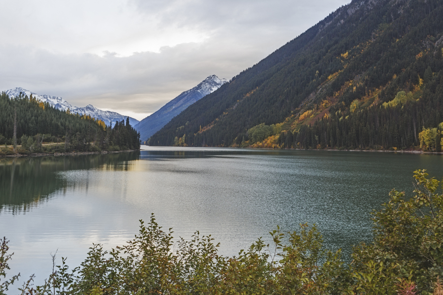
Part of our return route to Canmore was Highway 99, a very scenic mountain route from Squamish to Cache Creek B.C. We encountered Duffey Lake about half way to Lillooet, where I took this pretty autumn scene.
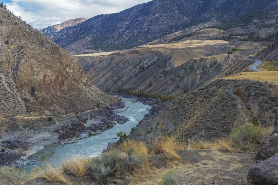
At Lillooet, we began following the Fraser River northward. This river is renowned for its deep, rugged gorge.
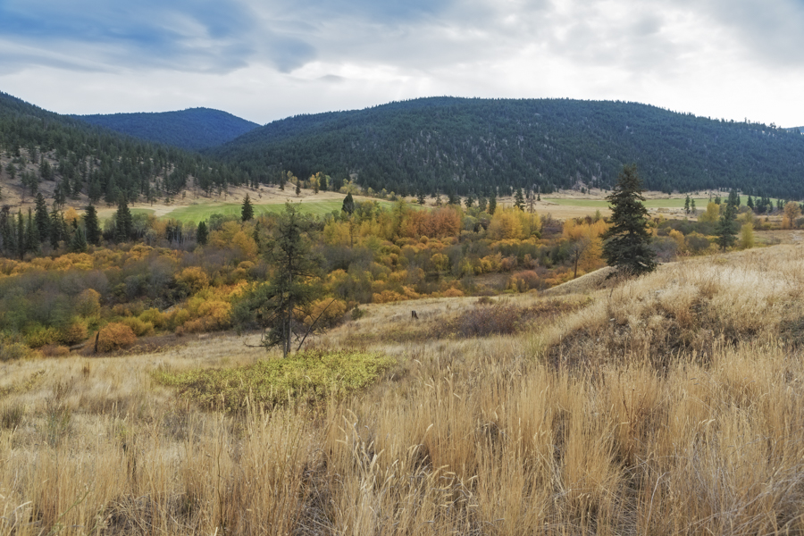
Further along near Pavilion Lake, I captured this next autumn scene. This area was alive with colour, I just had to add this scene to the trip’s album.
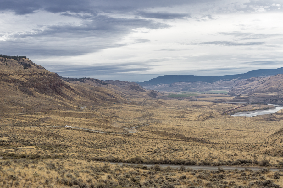
As we turned east to join the Trans-Canada Highway, heading for Kamloops the landscape changed very dramatically. The area features a semi-arid climate that sustains rolling hills of grasslands, sagebrush, ponderosa pine, and prickly pear cactus, marking a noticeable divergence from the rugged peaks of the Rocky Mountains and humid rainforest of the Pacific coast. This photograph, looking east down the Thompson River Valley illustrates the desert-like terrain in this area.
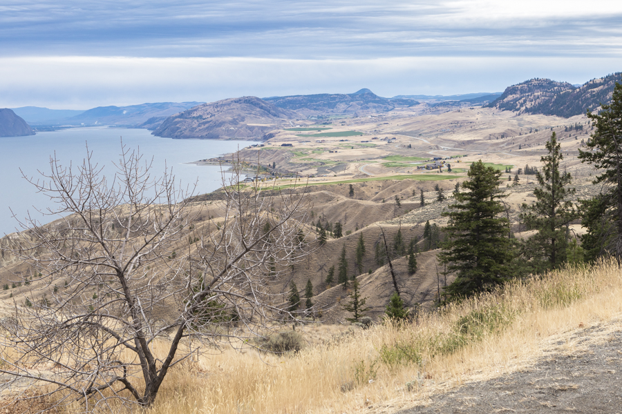
Closer to Kamloops, we stopped at a roadside viewpoint to take in this panoramic view which features Kamloops Lake and the Tobiano Golf Club, an oasis for golfers lost in the desert. It’s a great course, one of B.C.’s finest.
We enjoyed our trip and look forward to returning to the area.
