Last week was a big one for photography, our annual junket to northern Arizona and southern Utah. This year, we had a group of three including Barry Stewart and Paul Staley.
Our prime destination was Capitol Reef National Park, located in south-central Utah, 10 hours distant from Scottsdale.
Capitol Reef encompasses the Waterpocket Fold, a warp in the earth’s crust that is 65 million years old. This warp, probably caused by the same colliding continental plates that created the Rocky Mountains, has weathered and eroded over millennia to expose layers of rock and fossils. The park is filled with brilliantly colored sandstone cliffs, gleaming white domes, and contrasting layers of stone and earth.
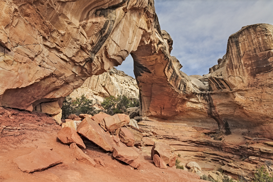
I’ll share six of my favourites from Capitol Reef. I begin with this photo of Hickman Bridge, a large natural arch amid the great white domes of Navajo sandstone that characterize the national park. It can be reached via a 1.2 mile (~2 km) trail that rises 400 ft (122 m) above the trailhead, just off Utah Highway 24. The arch spans 130 ft (40 m) and rises 125 ft (38 m) above the ground.
In the course of our visit, we spent some time in the old Mormon settlement of Fruita, located within the Park. Fruita became an important settlement due to its relatively long growing season and abundant water. Settlers from Torrey and Loa (nearby communities with much shorter growing seasons) arrived in Fruita and planted thousands of fruit trees. The historic district contains cabins, barns, a one-room schoolhouse and, of course, the many orchards. The first picture features this idyllic scene, reminiscent of the community’s pastoral history.
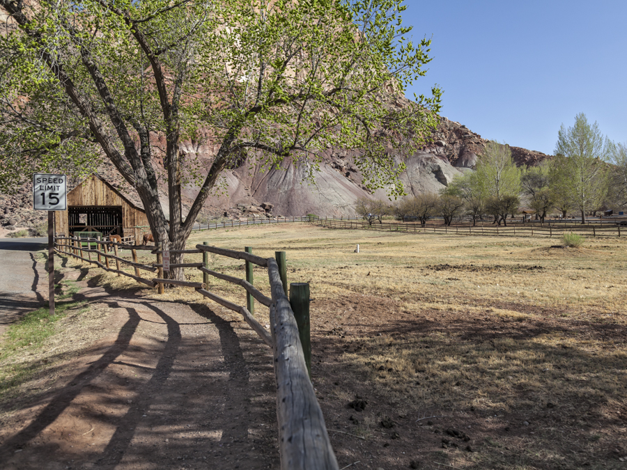
Historic District, Fruita, UT
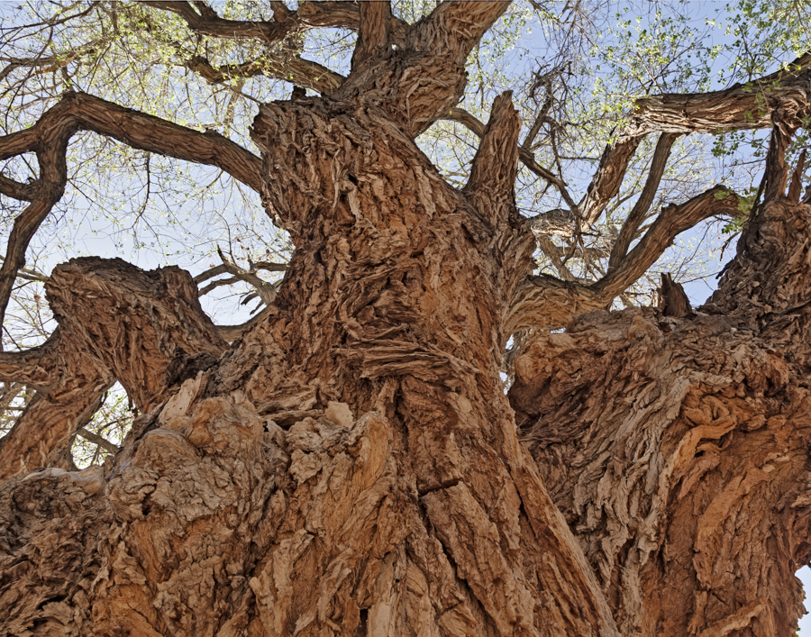
The Mormons came to Fruita in the late 1870’s. Prior to the establishment of the town’s official post office in 1904, a spectacular cottonwood tree, still alive and well today, served as the place to congregate and await delivery of the mail. Many stately, ancient cottonwoods still grace the area.
While we were in Fruita, we took time to investigate the petroglyphs carved in the sheer cliff that parallels Hwy 24 just east of the Visitor Center in Capitol Reef. Petroglyphs are rock art figures created by ancient Native Americans that can be seen in several places in Capitol Reef National Park. Most are attributed to the Fremont Culture, which existed in areas of Utah from approximately AD 600 to 1300. You can see their petroglyphs in this post’s masthead at the top of the page.
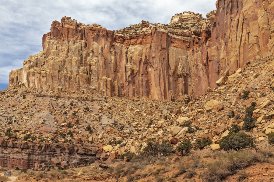
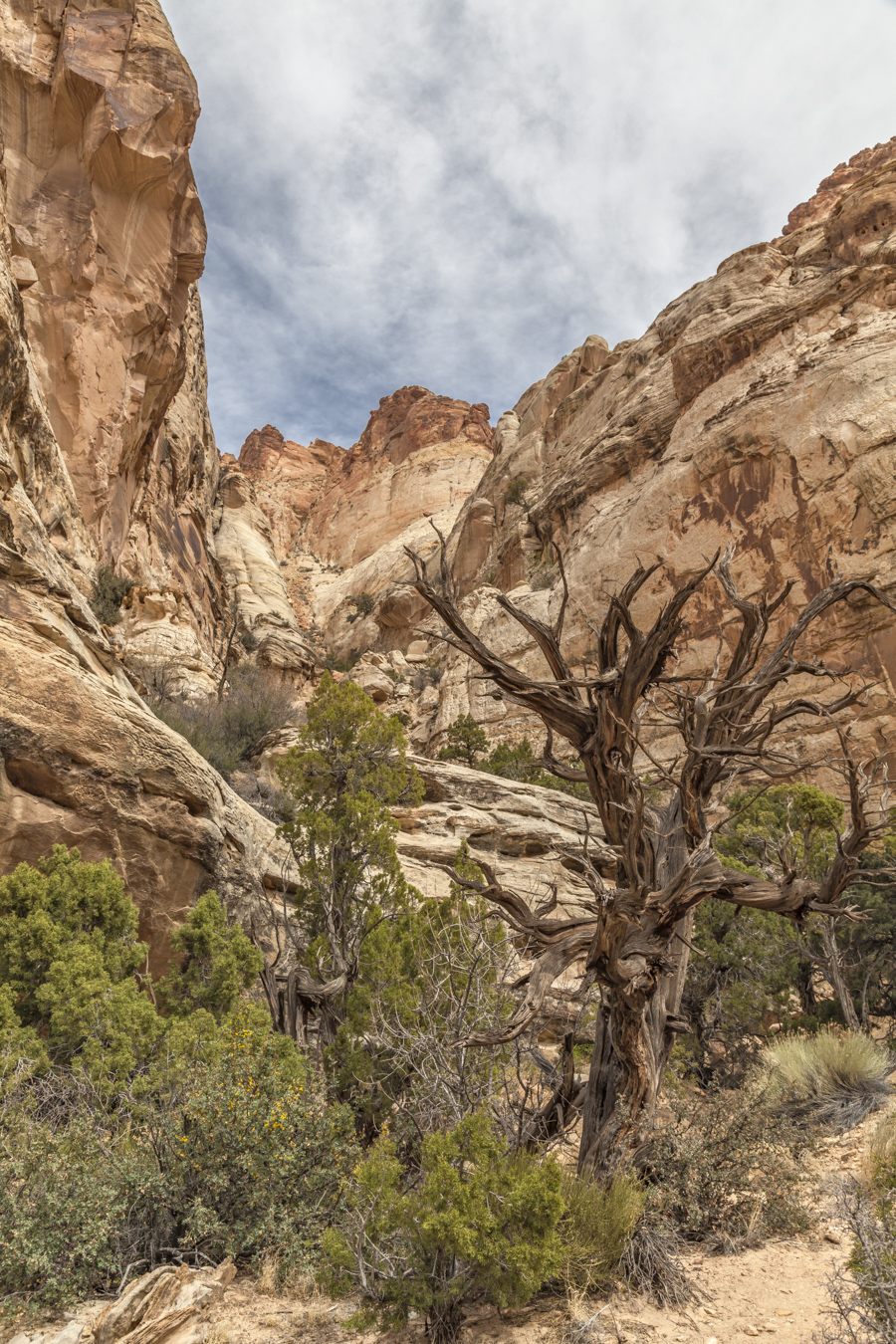
One of my favourite photography sites was the Grand Wash area, where I captured a photograph of this stunning cliff, a prime example of the Navajo Sandstone prevalent in the area.
While in the area, we searched around for the elusive Golden Throne, one of Capitol Reef’s iconic summits. There was considerable debate among us over the precise location of the dome and whether we were actually viewing it from certain vantage points. This shot was taken near the trailhead for the hike into the Golden Throne, presumably a better place to see it. I believe this dome is the one. No concurrence from my colleagues on that! We later conclusively identified and photographed it from its opposite side. I like this view better.
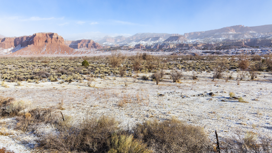
We had hoped to do some late night photography in our quest to photograph the Milky Way from Capitol Reef, a very dark area. We were thwarted by weather on both occasions. It’s difficult to see the stars through clouds. We abandoned our second attempt at 2:00 am on the second night, despite the sky being perfectly clear. The forecast at the time was not good and ultimately proved to be correct. Here’s how it looked at 9:00 am, seven hours later.
We bid goodbye to Capitol Reef and continued our journey destined for Page, Arizona, our final stop. More about that in a later post.

I love all the pictures, I could look at them over asnd over. You catutre such beauty in all of them.
Lovely!
Fabulous pictures. Enjoy comments also