This week I participated in a hike to Burstall Pass, located in Peter Lougheed Provincial Park, about 45 km south of Canmore. I met my group at the trailhead, just off the Smith-Dorrien Highway at 9:30 am and soon after we set off to our destination. Burstall Pass is one of more than 1,000 named mountain passes in the Rocky Mountains of North America. A mountain pass is a navigable route through a mountain range or over a ridge. Access to the pass is via the valley bounded by Commonwealth Peak, Pig’s Tail and Mount Birdwell to the north and Mount Burstall and Whistling Rock Ridge to the south. The trail leads up this valley, rising sharply as it nears the pass, a ridge that is part of the border between Alberta and British Columbia. It’s a journey of roughly 8 km (5 miles) from the trailhead to the pass, an ascent of 480 m (1,575 ft).
The Burstall Pass hike is renowned for its scenic beauty, not surprisingly very popular with photographers. The first photo site is located right at the parking lot of the Burstall Day Use Area. The view north across Mud Lake features a glimpse of Commonwealth Peak to the left and Mount Shark in the distance.
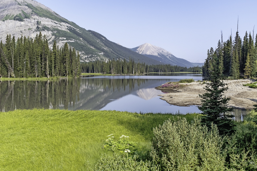
Moving along the trail, our next stop was at the Burstall Lakes where we paused to do some photography. I was able to get several good pictures at this location, including this next one. I like the reflection of Commonwealth Peak in the still water.
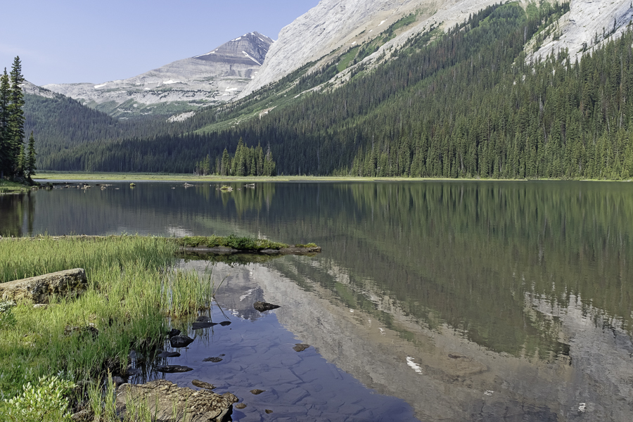
At the 3 km point in our trek we arrived at a marshy area where meltwater from the Robertson Glacier crosses the trail. There is a large number of small streams flowing through the marsh that we needed to navigate. Fortunately, by late July the volume of these streams has diminished considerably and it’s an easy crossing. A few years ago, I crossed this same area earlier in the summer. The flow was much greater and it was necessary to remove my hiking boots and make the crossing through shin-deep water in leaky shoes (akin to Crocs). Glacier water is cold!
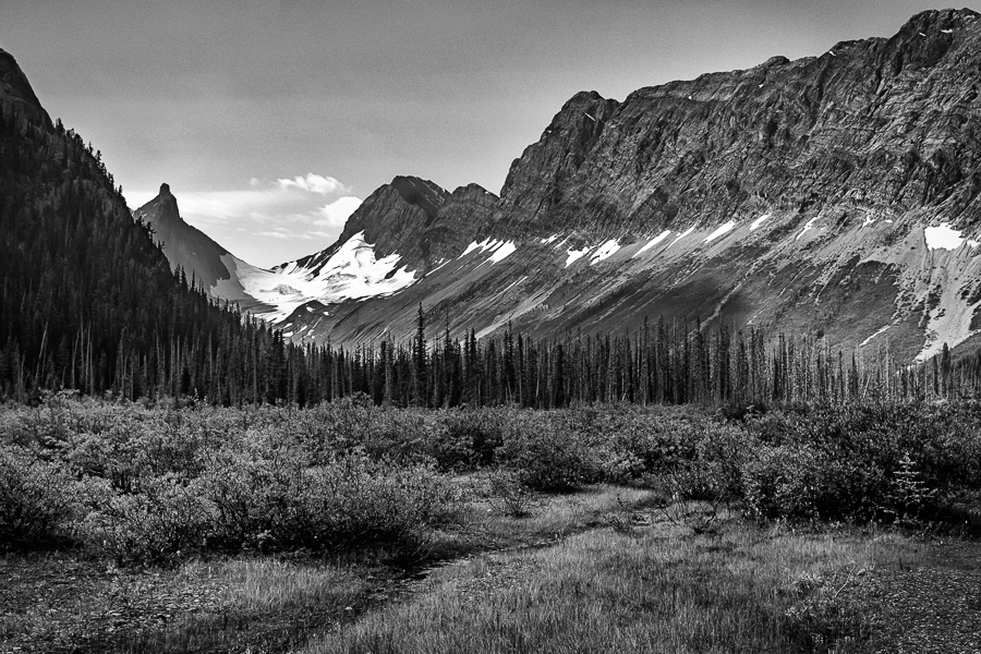
Having crossed the marsh and climbed the first appreciable slope, the trail flattened for awhile and I was able to get this next picture of Pig’s Tail, the second of three peaks we would travel past on our route to Burstall Pass.
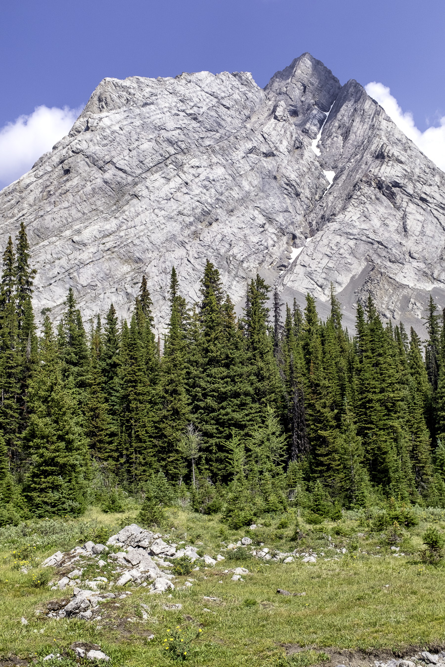
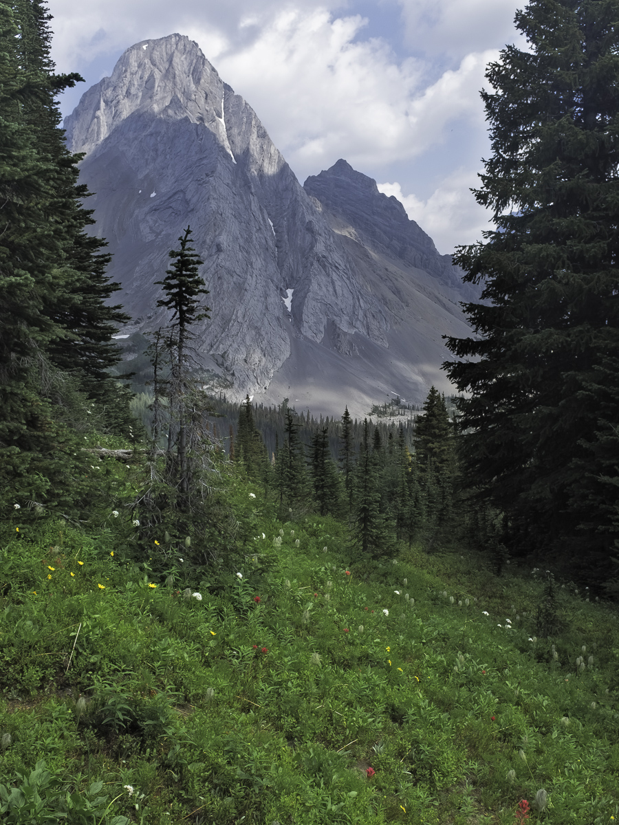
As we completed a final climb en route to the pass, I glimpsed this great view of Mount Birdwell, the third and final peak we would pass on our way. Note the profusion of wildflowers. Our timing was pretty good to enjoy the floral display that emerges each summer.
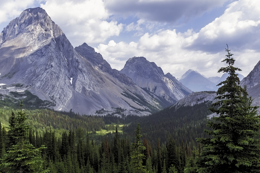
There’s a wonderful reward for reaching the Burstall Pass. The view back down the valley we travelled is quite magnificent, a classic shot featuring three prominent peaks of the Spray Range of Mountains.
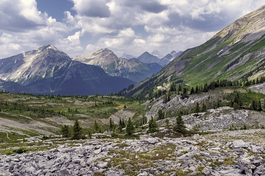
We proceeded on, crossing the pass and entering British Columbia. We had emerged from the forest and were now surrounded by awe inspiring views in every direction. We enjoyed lunch, soaking in the sun, breathing the pure mountain air and ultimately returning to the trail to make our descent to the trailhead. I found time to take a few more photographs, including this last one for today’s post, a view to the northwest.
We returned to our starting point, arriving just before 4:00 PM, a round trip of 6 hours. I wish to express my appreciation to our hike leaders, Stewart and Julie Hamilton and thank the other hikers (Sal and Liz, Ann and Ed, Kerry and Dave and Elizabeth) who contributed to a very enjoyable day.

Your photos bring back wonderful memories. Cheers
Sal
Hi Peter:
Again, a beautiful set of great pictures and stories to with them. I really enjoy seeing them and knowing there is such beauty that you have catured in our neck of the woods.
Hi to Rolande
Karey
Magnificent…looked like a perfect day…reflections and mountain flowers 🙂
Helen
Dear Peter,
Jinette is my good friend and neighbor in Ponte Vedra Beach, FL.
I am so glad she emails me your magnificent work. It is really God’s country.
Mary Ann