This week we took a driving trip, leaving Scottsdale and heading north to visit some great picture sites in Arizona and Utah. We did a 900 mile circuit through Arizona, Utah and Nevada before arriving back in Scottsdale today, Friday. Following is a Google map, showing the route we followed.
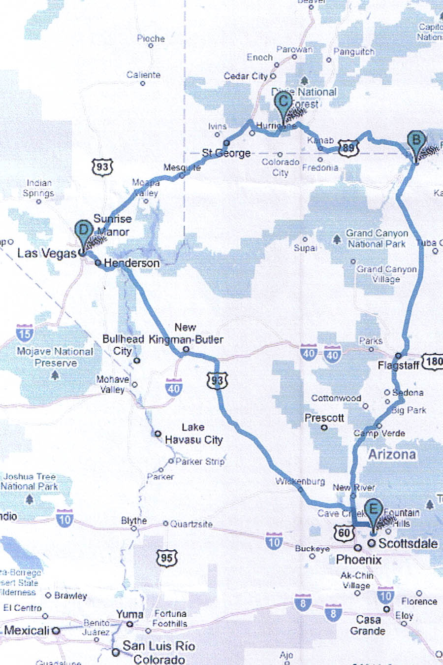
Sorry about the image quality, but I’m sure you get the picture. Our target destination was Zion National Park in southern Utah. You’ll see it marked on the map as “C”. To get there, you need to go around the Grand Canyon; east or west it’s about the same distance. We chose to drive up via the eastern route and return through Las Vegas on the western side of the canyon. Today’s pictures were take along Highway 89, east of the Grand Canyon between Flagstaff and Page, AZ, marked as “B” on the map.
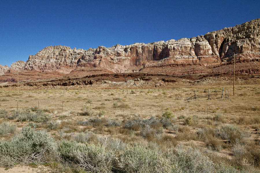
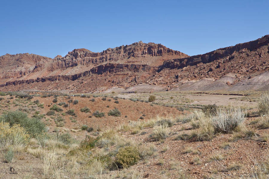
The first three images are shots of the Painted Desert near Cameron, AZ along highway 89 north of Flagstaff. This land is on the Navajo Reservation which occupies much of the land in northeast Arizona.
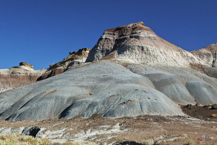
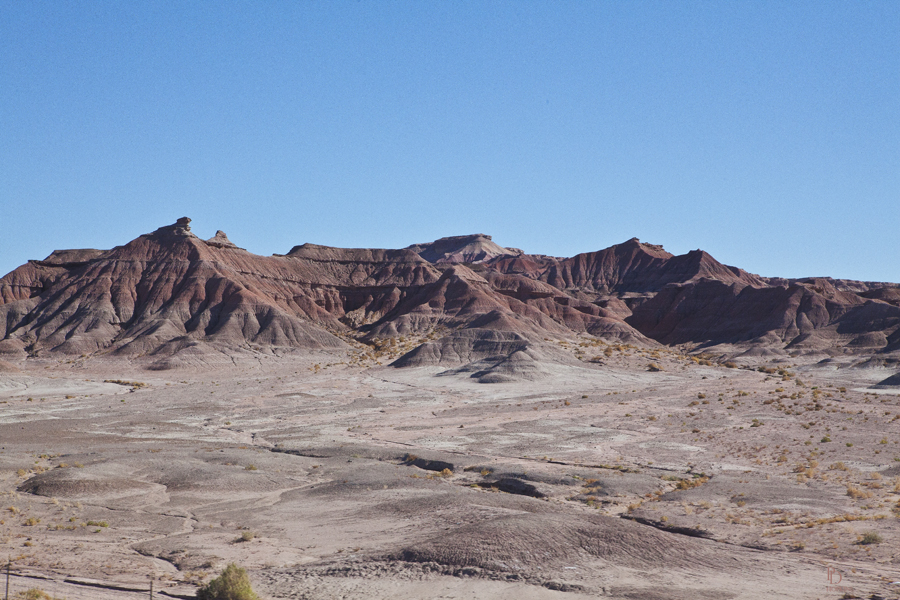
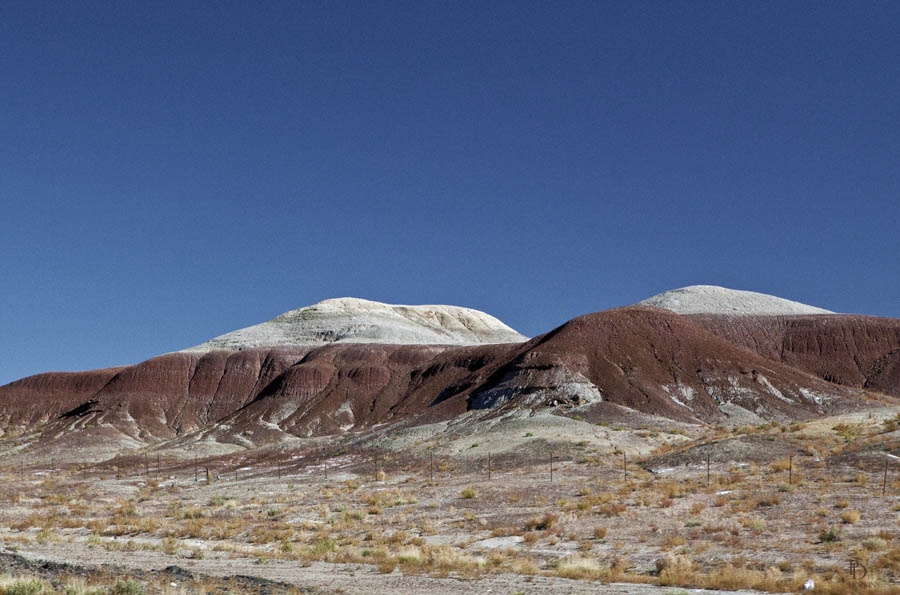
These shots demonstrate the layered colours of the terrain in this area. In this third picture, you might think the upper layer is snow. Reasonable guess, but not at this time of the year on a day where the temperature was in the mid-80’s F.
The Painted Desert derives its name from the multitude of colours seen in its layers. It is a long expanse of badland hills and buttes and although barren and austere, it is a beautiful landscape.
It took millions upon millions of years for nature to create this terrain that some describe as a multi-colored layered cake. Colourful sediments of bentonite clay and sandstone, stacked in elegant layers, provide an ever-changing display of colour throughout the day.
Shortly past Cameron, we left the Painted Desert and soon encountered the Colorado Plateau, beginning south of Page. Much of the Plateau’s landscape is related, in both appearance and geologic history to the Grand Canyon. The nickname “Red Rock Country” suggests the brightly coloured rock left bare by dryness and erosion. Domes, hoodoos, fins, reefs, goblins, river narrows, natural bridges, and slot canyons are only some of the geologic features typical of the Plateau.
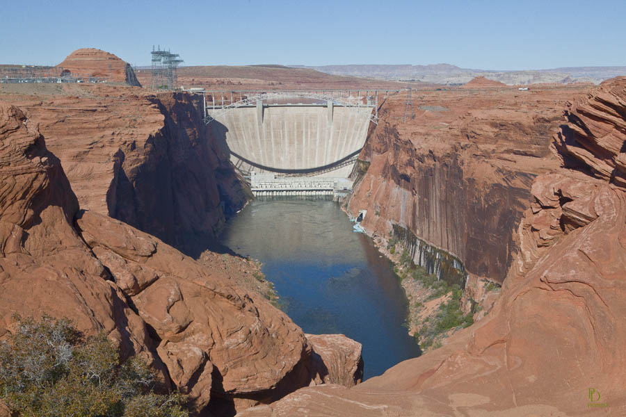
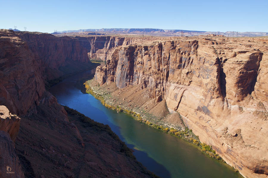
The community of Page in northern Arizona is best known for the Glen Canyon Dam, the second largest on the Colorado River, opened in 1966. Damming the Colorado River flooded the Glen Canyon and has subsequently created the large reservoir called Lake Powell.The dam generates 450 MW of electricity by capturing the energy of the river as it flows through Glen Canyon.
Here’s a photo of the dam, followed by a picture of Glen Canyon looking downstream from below the dam.
The Painted Desert and the “Red Rock” Country is all desert and two things that strike me are the beauty of such an arid area and the variety of terrain in the area and throughout Arizona and southern Utah.
After Page, we moved on to Zion National Park our ultimate destination. More about Zion, another beautiful desert landscape in my next post.

Hi Peter,
Looking forward to more photos of the desert landscape. Love the shot of the Glen Canyon. It must be great to be able to just ‘take off’ on these journeys of yours and see so much loveley scenery along the way.
All this traveling makes me wonder just how big is your suitcase and how many does Rolande haul along? Nice photos though and 80f is way better than our 5f here in the GTA.