After completing my recent visit to Bow Lake, I ventured further north along the Icefields Parkway to an area of Alberta known as David Thompson Country. It’s located in Clearwater County, adjacent to Banff National Park. I reached it via Highway 11 from Saskatchewan River Crossing, 1/2 hour north of Bow Lake.
The area is named for David Thompson, a British-Canadian fur trader, surveyor, and cartographer, known to some native peoples as Koo-Koo-Sint or “the Stargazer”. Over Thompson’s career, he traveled some 90,000 kilometres across North America, mapping 4.9 million square kilometres of North America along the way.

I explored an area along the North Saskatchewan River eastward to the Kootenay Plains. It was late in the day, so I didn’t go too far before beginning the 2 hour drive home. I was sufficiently pleased with what I discovered to warrant a return visit later on.
My first photograph features this image of two of the many surrounding mountain peaks, taken at the riverside in the Kootenay Plains Ecological Reserve, a short walk down from the highway.
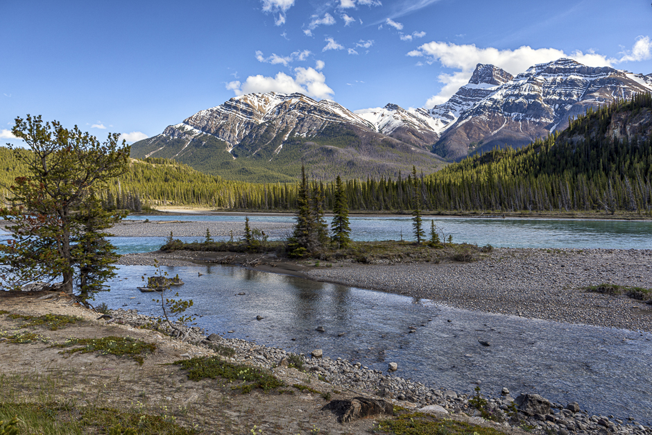
A little further eastward, I came across this very appealing scene looking downstream toward a bend in the river. That’s Cheshire Peak, a prominent mountain in the area (elevation of 3167 metres ( 10390 ft)) in the background.
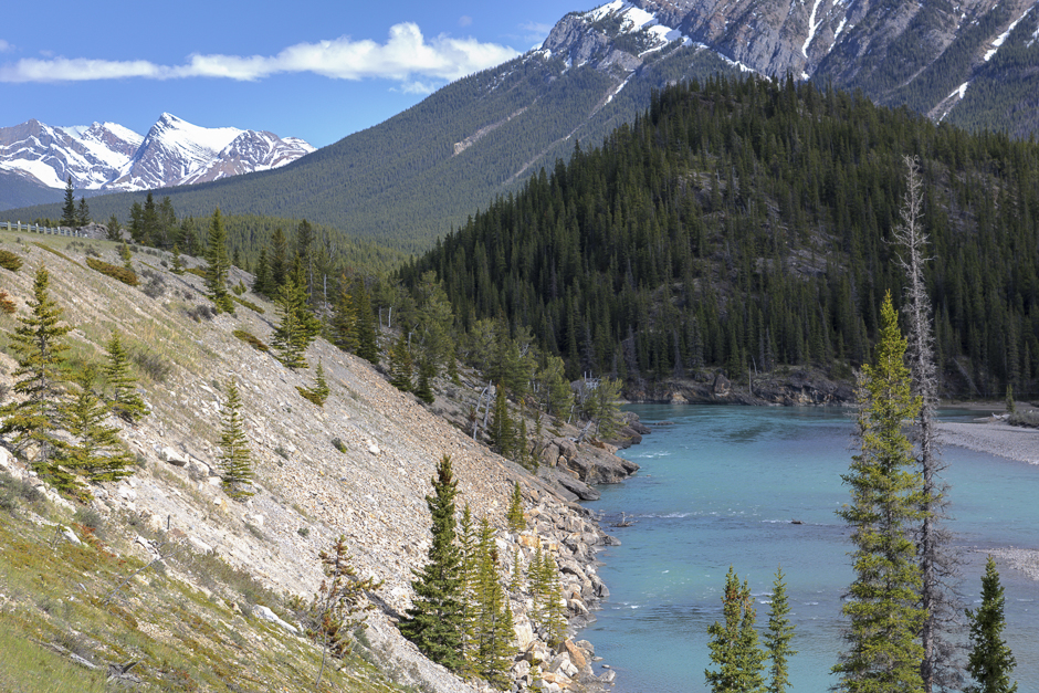
Here’s another bend in the river with Siffleur Mountain in the background.
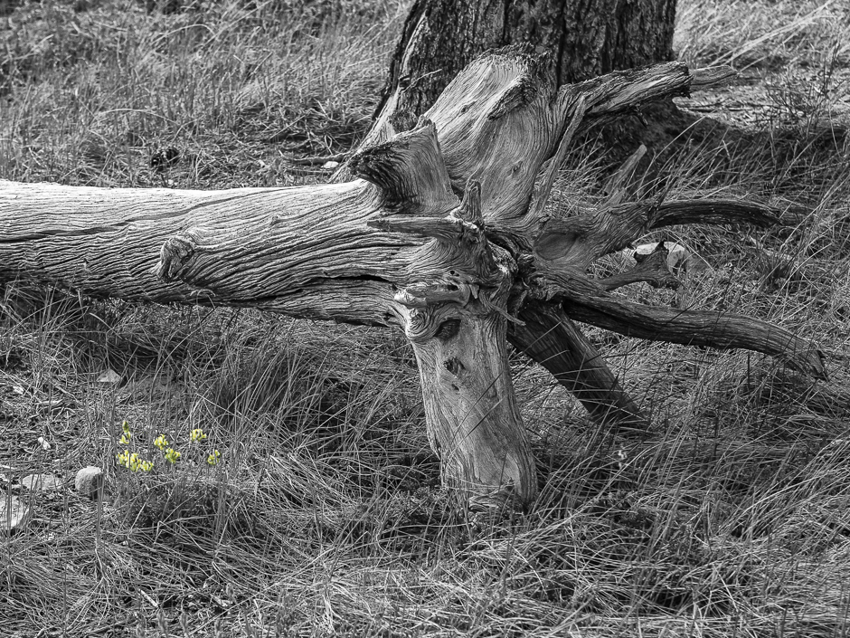
It’s time for a change of subject matter. That’s enough river scenes! I took this photo in the ecological reserve near the river bank where I took the first picture, above. There is a rich profusion of wildflowers in the area and although I took quite a few pictures, this one most appeals to me.
I like the dichotomy of the fallen, old pine and the newly blooming wildflowers. I chose to present it this way to make the flowers more visible. They’re small in relation to the tree trunk and not all that distinct amid the similarly coloured grass.
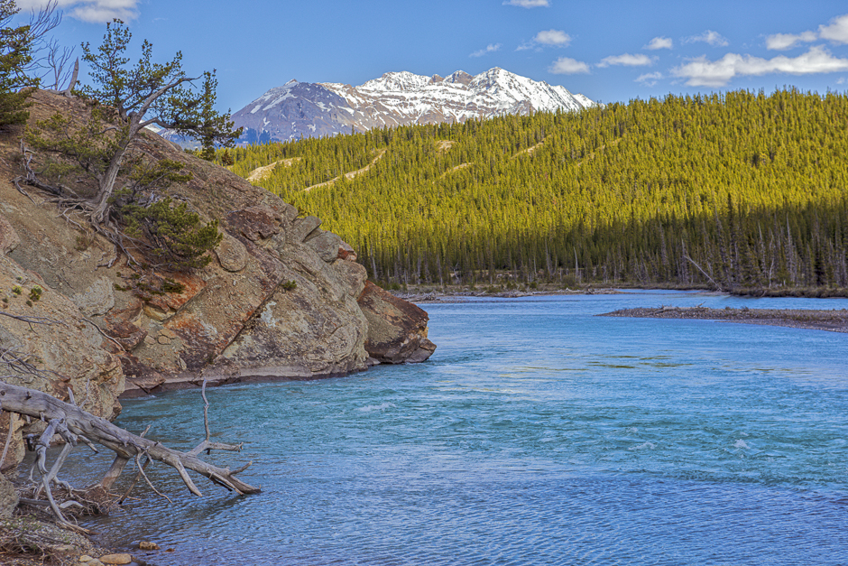
This ridge, the Whirlpool Point Overview, offers some great views of the surrounding area. I actually prefer the image of the ridge itself, including some of the mountains in the distance.
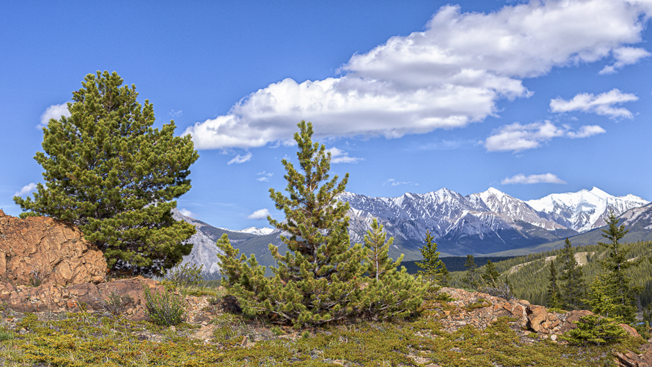
The Kootenay Plains Ecological Reserve represents one of the best montane habitat in the province with a unique grassland and forest mosaic providing a home to many species of rare plants, birds and wildlife. Those conditions made it an important area for natives and early explorers to the area.
The following two pictures were taken in a flat, grassed area further east along Highway 11. These plains are surrounded by mountain peaks, including Mount Ernest Ross shown here.
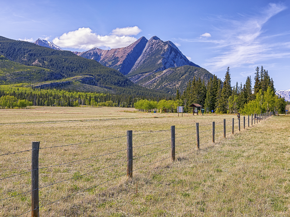
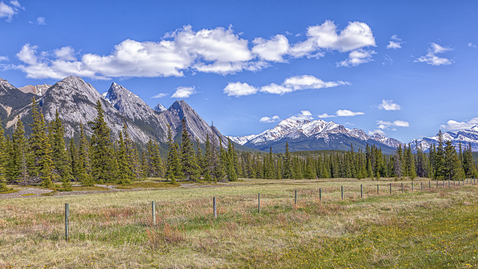
Looking westward from this location is a good view of more of the surrounding peaks.
It was a worthwhile foray into an area I don’t know well. My last experience in this region was 10 years ago in winter, an entirely different experience. I look forward to a return before this summer is over.
