This past Saturday, July 18, I ventured northward along the Icefields Parkway, this time accompanied by my friend and fellow photographer, Bob Bear. We drove as far as Saskatchewan Crossing, before turning eastward on Highway 11 in the direction of Red Deer. Our destinations for the day were the Kootenay Plains Ecological Reserve and the Cline River Canyon.
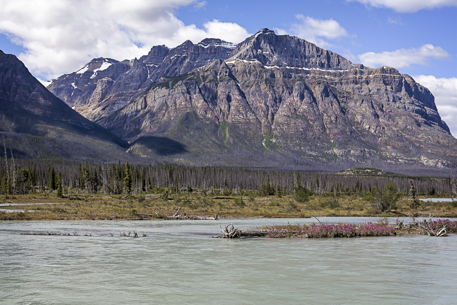
Our first three photographs were taken at Kootenay Plains where I got this first picture featuring Mount Murchison, viewed from the N. Saskatchewan River.
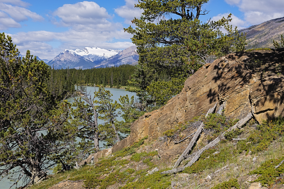
This next picture was taken at Whirlpool Point, looking westward along the river toward Mount Wilson and the Wilson Icefield, in the distance.
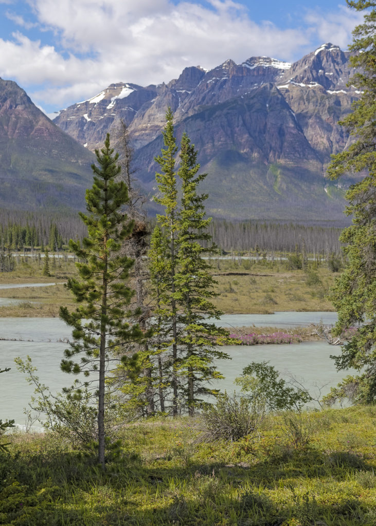
My final picture for this area is another view across the river at a location further downstream, this time with the eastern end of Mount Murchison in the background.
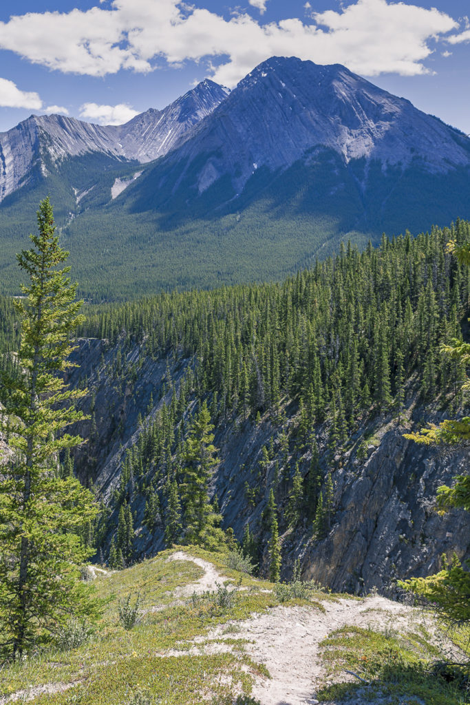
After a couple of hours in the Kootenay Plains Ecological Reserve, we moved on a further 20 km (12 miles) to the Cline River and Abraham Lake. We elected to hike the Coral Creek Canyon Trail, running parallel to the Cline River Canyon in search of our next photographs. Most of the way, it was a trail through the woods with not much to see before reaching its end. Our 4 km (2.5 mile) uphill trek, climbing almost 300 meters (~1,000 ft) was well worth it. We were rewarded with some stunning views , including this vista taken at the trail’s end. The picture was taken looking across the Cline River Canyon with Mount Mumford, 13 km (8 miles) distant.
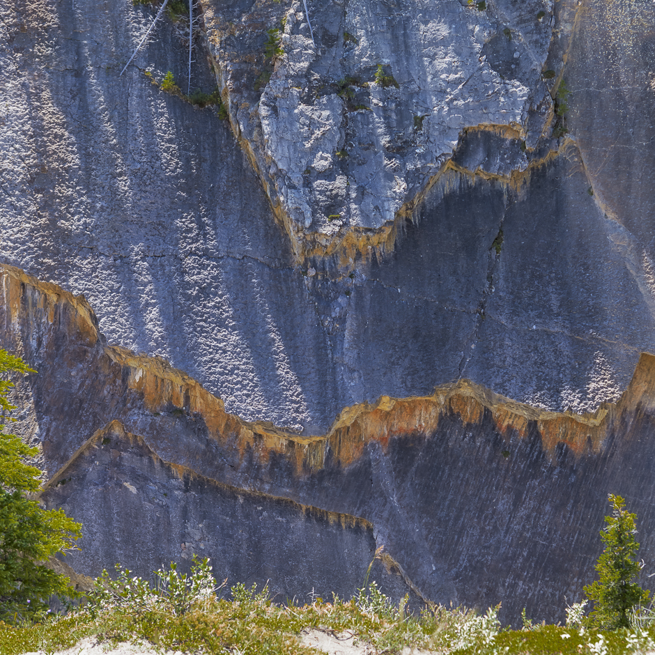
This intriguing picture was taken from a point at the end of the trail, looking across the Cline River Canyon to the cliff face on the opposite side. My attention was drawn to what initially looked like coloured frills hanging from the rock. A closer inspection shows ragged edges where layers of rock have fallen away. No longer contained by the weathered face of the cliff, mineral deposits have been leached out and deposited on the rock wall immediately below.
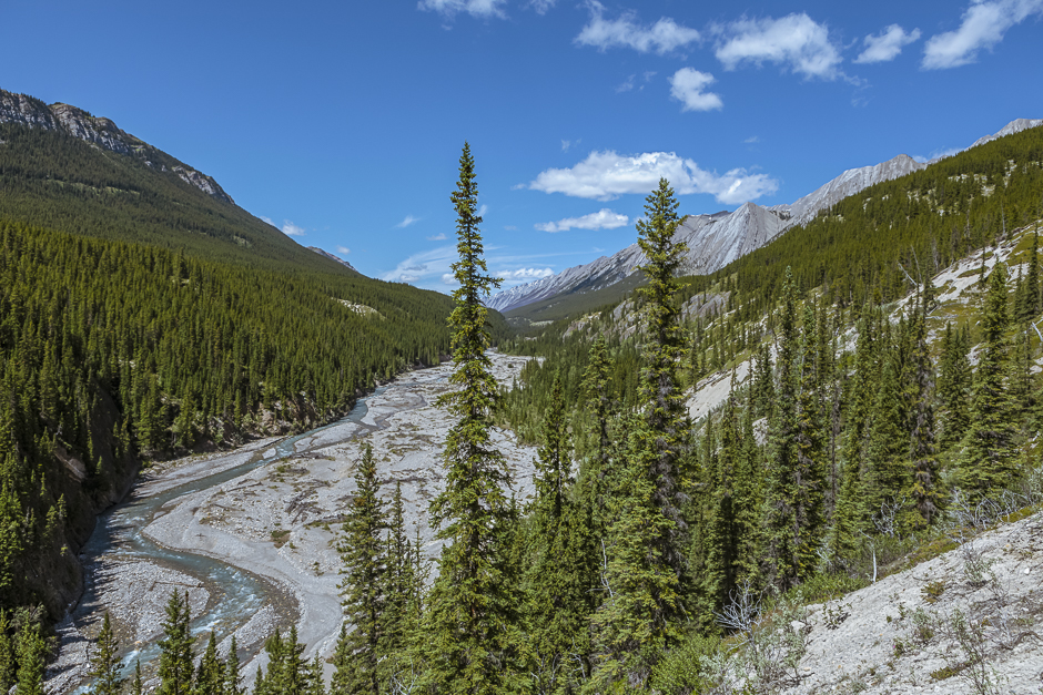
From this elevated vantage point, we finally got to see the Cline River, flowing down to Abraham Lake from the west.
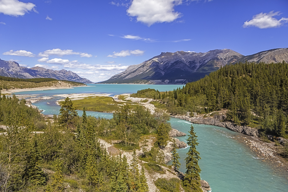
My last picture before starting the drive home was taken just down the hill from the trailhead, at the highway bridge crossing the Cline River. It’s a beautiful scene, with the vibrant aqua-coloured water.
It was a beautiful, sunny day as the photographs will attest. It was a long one, with close to 5 hours of driving for the round trip and another 4 hours hiking and snapping pictures. We agreed it was well worth the effort.
