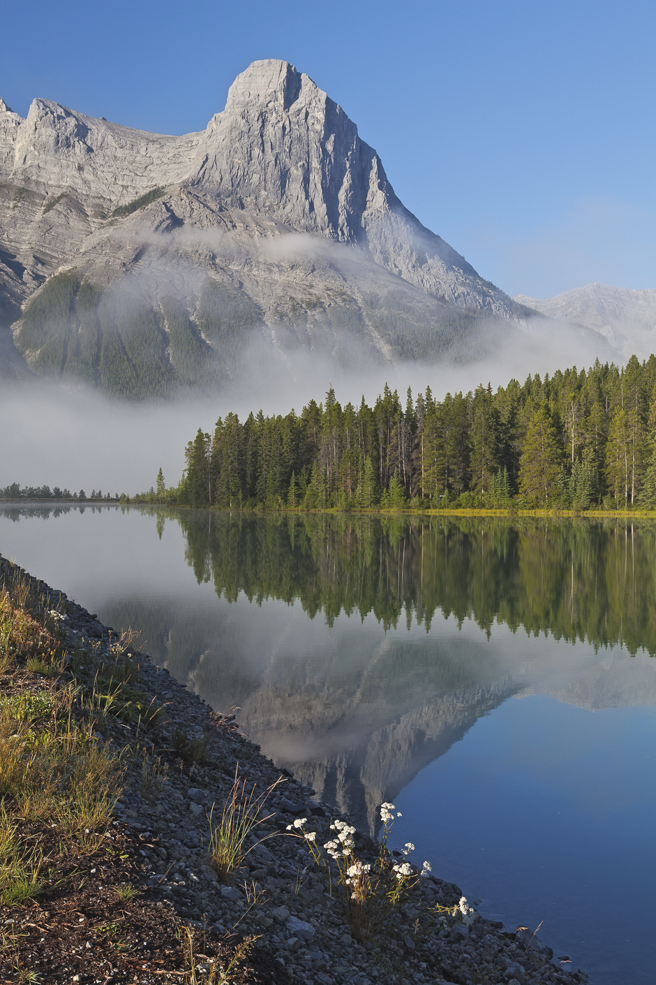
Ha Ling Peak is located at the northwestern end of Mount Lawrence Grassi — a mountain located immediately south of the town of Canmore, just east of the Spray Lakes road. It is a Canmore landmark, pictured in this photograph I took on a misty summer morning in 2013.
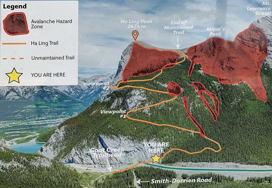
The Ha Ling Trail ascends Ha Ling Peak from the back side, opposite the side facing Canmore. The trail is maintained for a distance of 3.5 km (2.2 miles) to where it reaches the saddle between Ha Ling Peak and Miner’s Peak. The final 400 m (0.25 miles) of distance and 103 m (340 feet) of elevation to the peak is an unmaintained trail, which traverses loose, rocky terrain. The round trip to the saddle is 7 km (4.4 miles) with an altitude gain of 810 metres (2,606 feet).
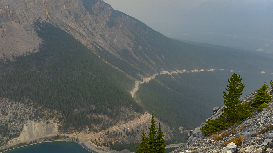
Yesterday, accompanied by friends Henk Wind and Joel Croteau, I ascended to the saddle, where we stopped for some lunch and of course, took some photographs. Conditions for photography were less than ideal with very smokey skies, resulting from wildfires in the Western U.S. and Canada. The views were nonetheless spectacular and it’s regrettable we didn’t have a better day to see them.
Today’s first image was taken in the course of our ascent, at Viewpoint #2 (see Trail Map). Through the smoke you can see the Smith-Dorrien Trail from Canmore winding its way up the flank of the east end of Mount Rundle (EEOR).
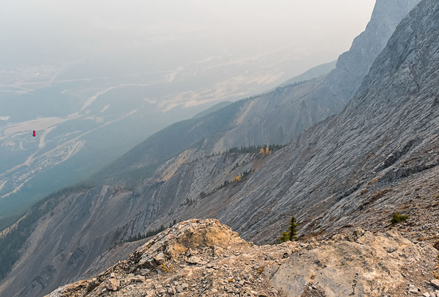
The next three images were taken from our vantage point on the saddle, overlooking Canmore and the Bow Valley. Nearby peaks were quite visible but anything further was difficult to see. The small, red arrow on the left side of the picture points to the location of our house in Canmore.
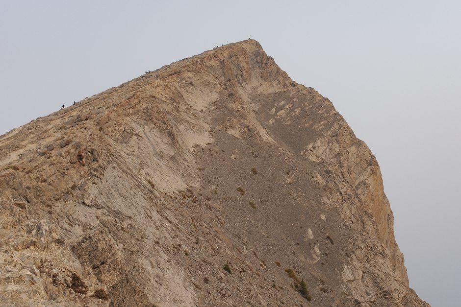
This is Ha Ling Peak, towering 103 m (340 ft) above our perch on the saddle. If you look closely, you can see hikers ascending the final slope to the summit. (We didn’t do that!)
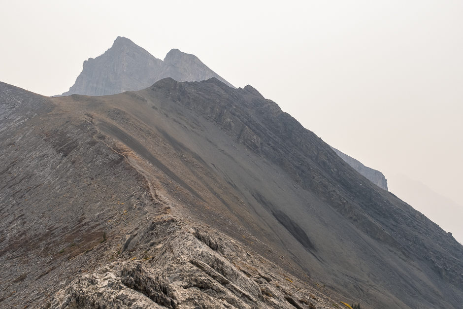
Turning eastward, you can see the trail ascending Miner’s Peak on the opposite side of the saddle. Behind it is Mount Lawrence Grassi.
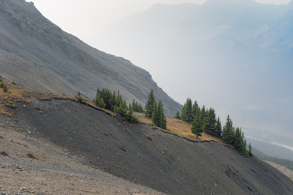
I took a few more shots in the course of our descent, including this picture of the slope descending behind Miner’s Peak to the Spray Valley. There’s a hint of the Goat Range in the background, largely obscured by the smoke.
If you’re interested in the background to the name Ha Ling Peak, read on….
The name of the mountain has been subject to much controversy. Originally, the mountain was referred to locally as The Beehive. In 1896 Ha Ling, a Chinese cook for the Canadian Pacific Railway (some say the Okaloosa Hotel in Canmore) was bet 50 dollars that he could not climb the peak and plant a flag on the summit in less than 10 hours. According to the Medicine Hat News of October 22, 1896, he started the ascent at 7:00 am the previous Saturday morning and was back in time for lunch. As nobody believed his story, he led a party of doubters to the summit where he planted a much larger flag beside the original, this one visible to the naked eye from Canmore. The townsfolk referred to the mountain as Chinaman’s Peak in his honour.
The name Chinaman’s Peak did not become official until 1980. Later, in 1997 it was renamed Ha Ling Peak as the term Chinaman was viewed as derogatory.
Source: Wikipedia.
