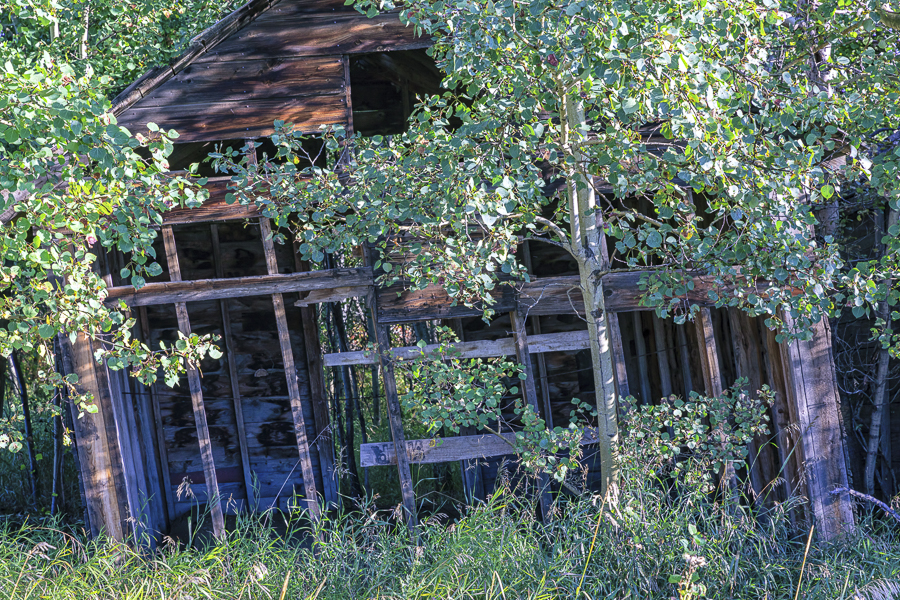
This is the second of four blogs I’ll be posting, featuring my favourite photographs from a recent road trip to Peace Country in Northern Alberta. It includes photographs from the Town of Peace River as well as pictures from the nearby surroundings.
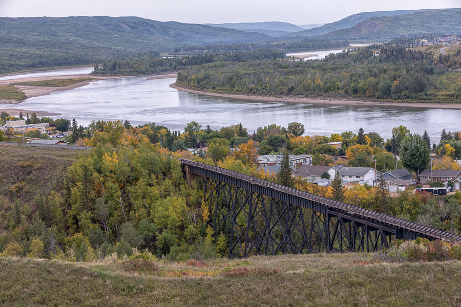
This is a scene we encountered on our arrival at Peace River. It was taken from one of the hills bordering the river. It shows an area in the south end of the town and once again, a railroad trestle, named the CNR Heart River Bridge.The bridge spans a downtown park, the 12 Foot Davis Events Park. The park is named for a legendary prospector, Henry Fuller Davis, otherwise known as “12 Foot Davis”. For the story behind this unusual nickname, you can look here…https://www.wltribune.com/community/the-tale-of-12-foot-davis/
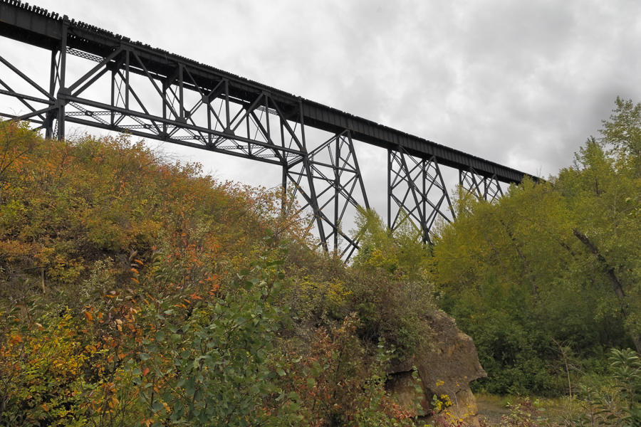
This next photograph was taken from beneath the bridge at the 12 Foot Davis Events Park.
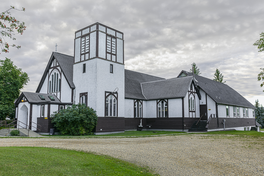
One of the points of interest in the Town of Peace River is the Anglican Cathedral of the Diocese of Athabasca. It celebrated its centenary in 2012.
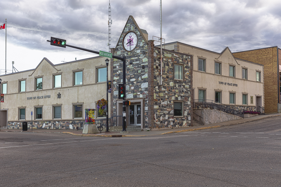
Another of Peace River’s landmarks is its Town Hall, the adminstrative centre of the town. It serves a community of 7,000 people in an area covering 26 square kilometres.
We toured some of the surrounding area as well as the town. We made stops as we entered the town of Peace River from the east, pausing to enjoy an overview of the town and river from the surrounding hills. A favourite area we visited is Shaftesbury Settlement in the Peace River valley. It was the first settlement in the Municipality, and stretches along the west bank of the river for about 15 miles from the present Town of Peace River.
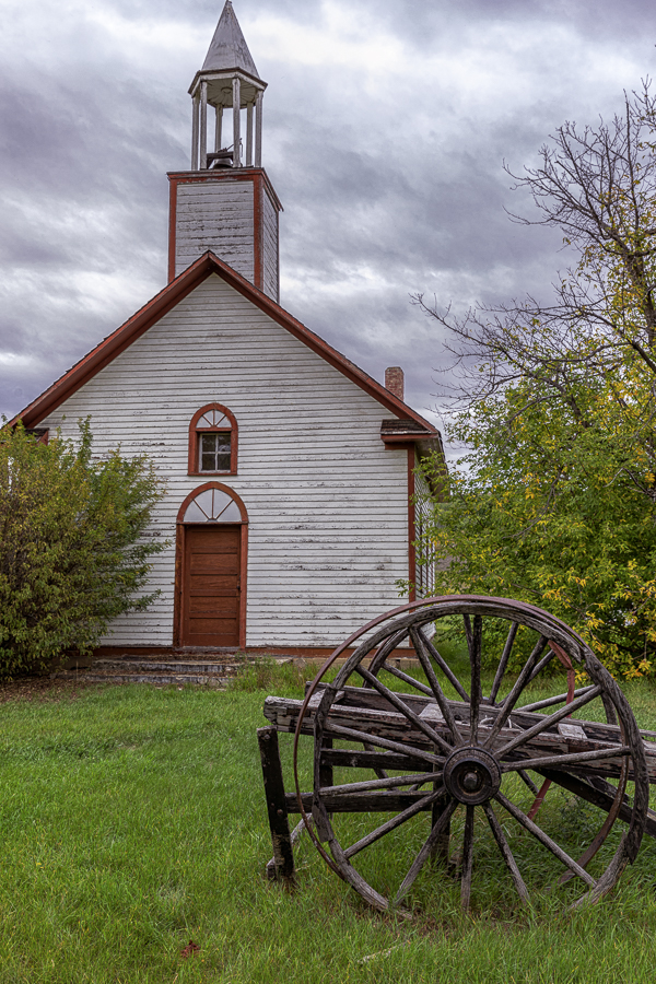
One of its prime attractions is Christ Church Mission, established in 1886, when Reverend John Gough Brick, an Anglican minister moved from Dunvegan to Shaftesbury Settlement.
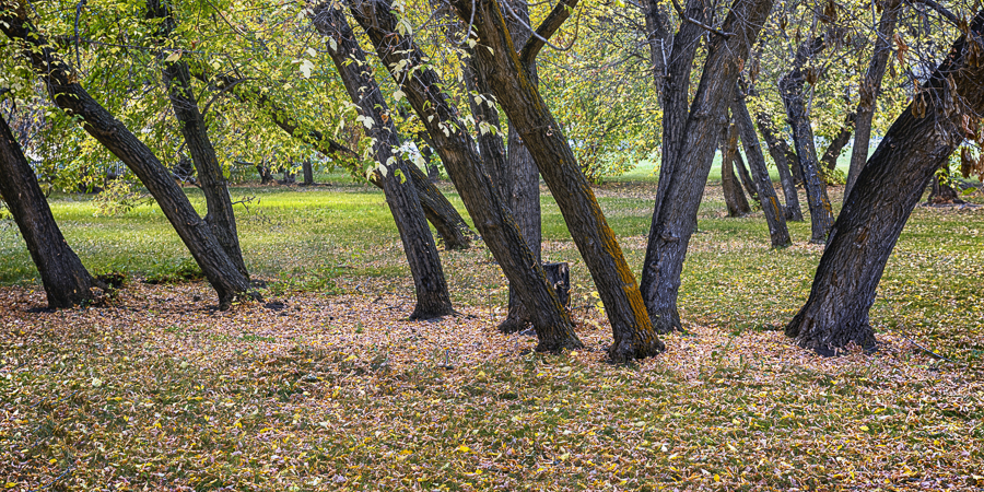
I enjoyed meandering around the church grounds, where I captured a number of interesting photos. Among them is this picture of a copse, whose trees I’ve been unable able to identify. Nonetheless, it’s an appealing scene.
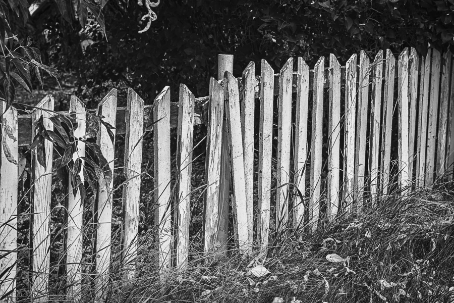
A little further along my stroll, I found this fence which I couldn’t resist. It’s need for some paint, repair, and grass cutting make it an interesting photo subject.
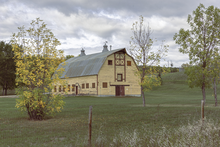
Just up the road from the church is the Peace River Correctional Centre. (Correctional centres in Canada normally house inmates serving sentences of up to 2 years). This facility has a barn on its premises, presumably to provide work for inmates. I found it to be eye-catching, so I’ve included it.
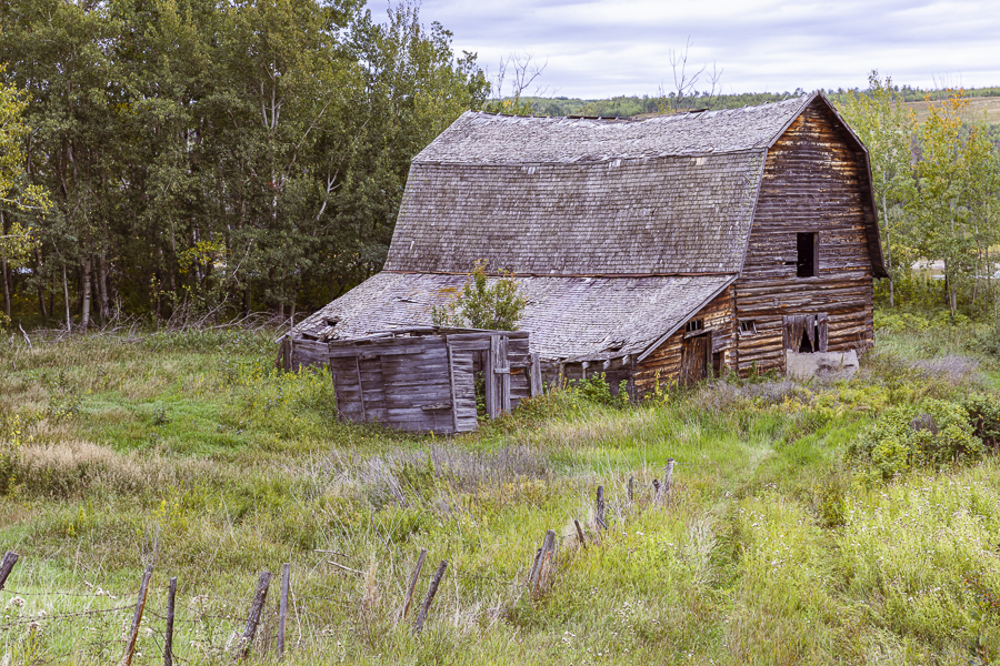
As you’ve no doubt realized by now, Bob and I share an interest in buildings, preferably older and decrepit, as photographic subjects. This abandoned barn was found in the area of the Shaftesbury Settlement and its appeal was immediate.
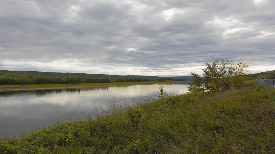
My final pictures for today present typical scenes of Peace Country topography, beginning with this view down the river, taken a little south of Shaftesbury Settlement. Perhaps a brighter day would have better exposed the scene, but dark clouds are usually a good complement to the subject terrain. I can’t do much to control the weather, so I seek to use it to best advantage. I like this scene for the grasses, shrubs and flowers in the foreground (a little dark but discernible) and for the clouds’ texture and their reflection in the still waters of the Mighty Peace.
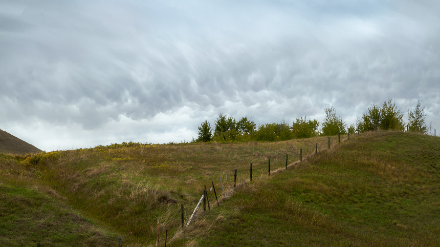
In the same general area, but facing north I took this photo of a hillock, typical of the terrain in this area. I like the fence line running up the slope and the sombre mood of the afternoon.
That concludes today’s post. Here’s a preview photograph from my next post, On the Road to Jasper.
