On the final day of our Northern Alberta tour, we traveled along Highway 93 south, known as the Icefields Parkway. It’s a 232 km (145 mile) stretch of double-lane highway winding along the Continental Divide between the Towns of Jasper and Lake Louise. We traveled at a leisurely pace, stopping along the way to take advantage of some good picture opportunities. Our first stop was the Columbia Icefield about half way to Lake Louise.
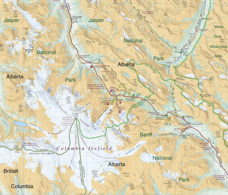
The Columbia Icefield is the largest ice field in North America’s Rocky Mountains. Located astride the Continental Divide along the border of British Columbia and Alberta, the ice field lies partly in the northwestern tip of Banff National Park and partly in the southern end of Jasper National Park. It is about 325 square kilometres (125 sq mi) in area, 100 metres (330 ft) to 365 metres (1,198 ft) in depth and receives up to 7 metres (280 in) of snowfall per year.
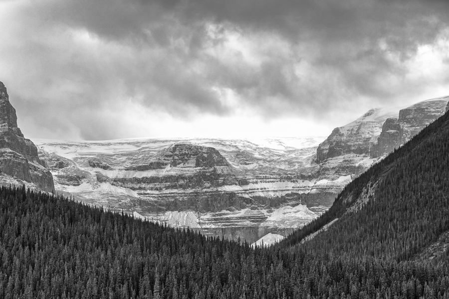
The first prominent glacier to come into view was the Stutfield Glacier, pictured below. Due to the cragginess of the rock and the way the ice is precariously positioned on it, Stutfield Glacier is arguably the most picturesque of the glaciers to view in the Rocky Mountains, sporting a set of double icefalls. (In the opinion of Brian Cohen, traveler, photographer and blogger.)
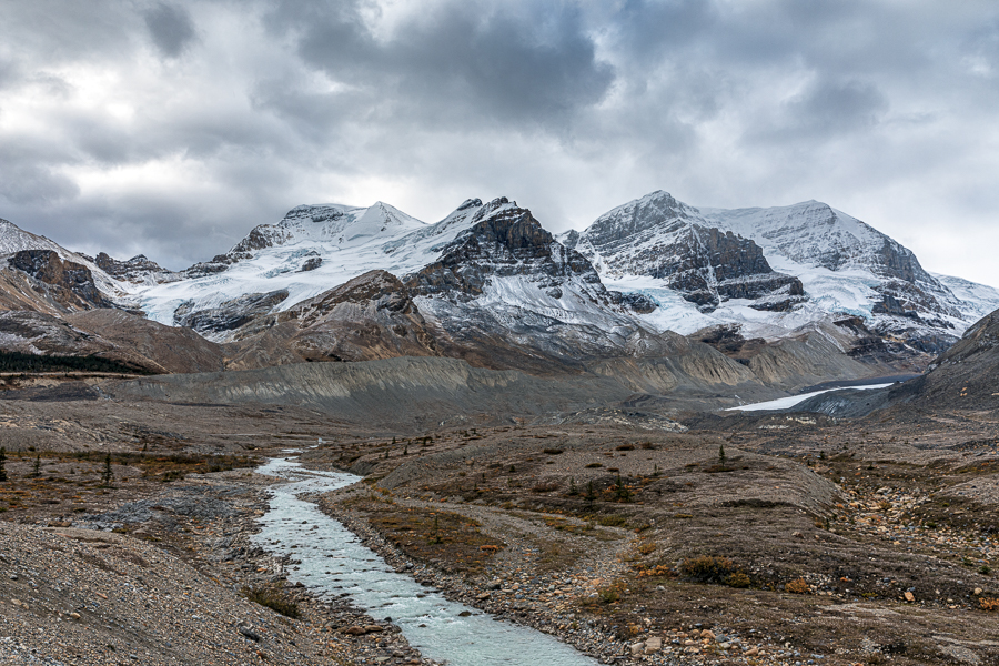
This next picture is my favourite photograph from the entire trip, a scene that I’ve marvelled at and photographed on many occasions. Mount Athabasca and Mount Andromeda form the western flank of the Athabasca Glacier. A small sliver of this glacier can be seen on the right side of the photo, about midway up.
The Athabasca Glacier is one of the six principal “toes” of the Columbia Icefield. The glacier currently loses depth at a rate of about 5 metres (16 ft) per year and has receded more than 1.5 km (0.93 mi) and lost over half of its volume in the past 125 years.
Standard buses are used to transport tourists to the glacier edge, where they board specially designed snow coaches for transport over the snow and ice, part way up the glacier.
The glacier is approximately 6 km (3.7 mi) long, covers an area of 6 km2 (2.3 sq mi), and is measured to be between 90–300 metres (300–980 ft) thick.
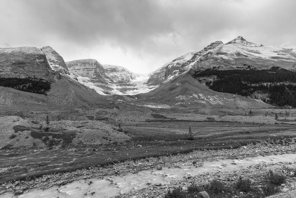
Just north of the Athabasca Glacier is the Dome Glacier, originating from Snow Dome Peak and flowing northeast toward the Parkway, from where I photographed it. You’ll observe a stream at the bottom of this photograph and the previous one. That is meltwater fed from the toe of the Athabasca Glacier.
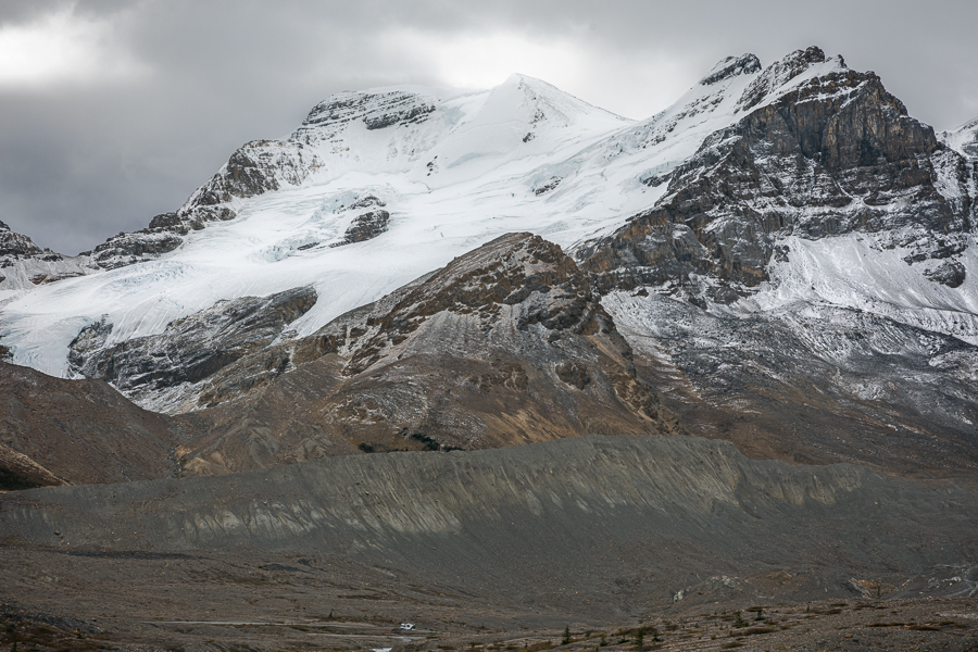
This scene is a close-up view of Mount Athabasca. I have been unable to find a name for what appears to be a small glacier on the eastern flank of the mountain. If you look carefully at the bottom of the image, you’ll see a motor home puttering along the road. That provides a good idea of the enormity of these mountains and the glaciers.
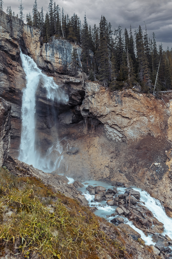
Moving along, we soon entered Banff National Park, where Bob and I hiked in to Panther Falls, another favourite location we have visited in the past. The flow of water is considerably less than it would be in springtime. Not disappointing. It’s much easier to photograph now than in spring, when torrents of water hitting the rock fill the air with mist. I have photographed these falls in winter. If you’re curious to see how they appear in February, then have a look here…https://www.shotsbypeter.com/blog/?p=38
(There is also a good view of the Athabasca Glacier in that same post.)
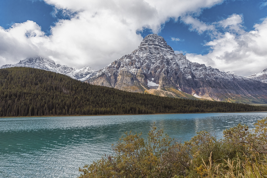
Our last stop was at Waterfowl Lakes in Banff NP, near the southern end of the Parkway. The picture features Mount Chephren. With an elevation of 3,307 m (~11,000 ft.) it’s not surprising to see a dusting of fresh snow at this time of the year.
That sums up my favourites from our final leg of the trip. We reached home in early afternoon, having traveled over 1,800 km in four days, with ample time to get some very satisfying photographs. Great trip!
