For those unfamiliar with southern Alberta weather, Chinook winds are warm, and dry winds that occur on the leeward, or sheltered, side of mountain ranges, such as the Rocky Mountains. Chinook winds are fairly common during the winter months and often bring extreme increases in temperatures to the region as they move from west to east across the mountains.
Chinook winds develop when warm, moist air blows from the Pacific Ocean in the northwest region of North America toward the Rocky Mountain range.The air mass warms rapidly, eventually becoming warmer and drier than the original air mass coming from over the Pacific Ocean.
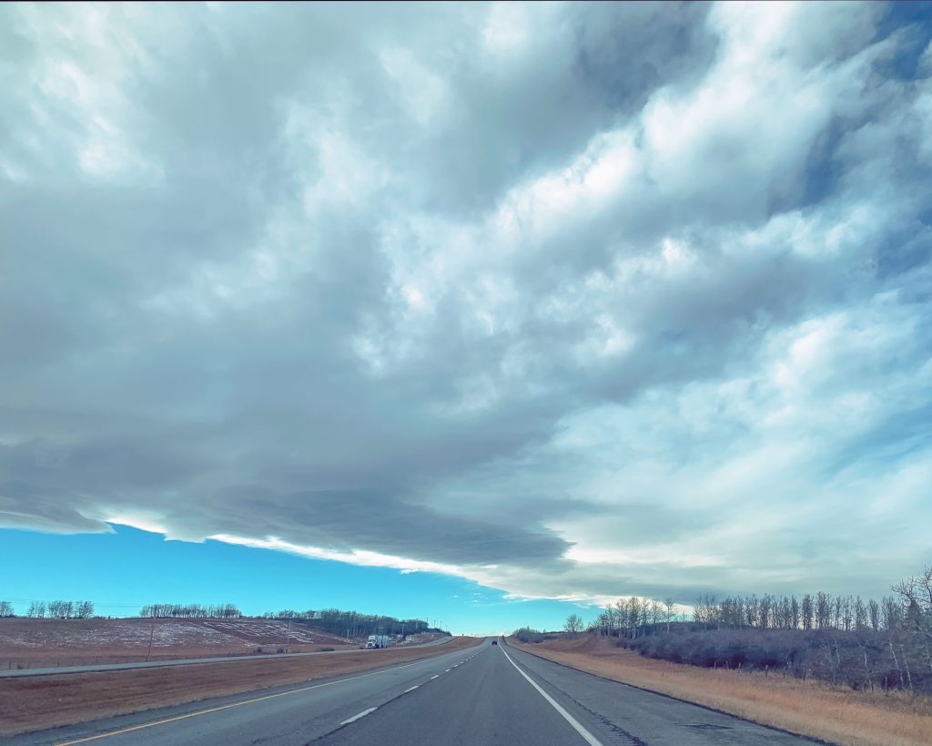
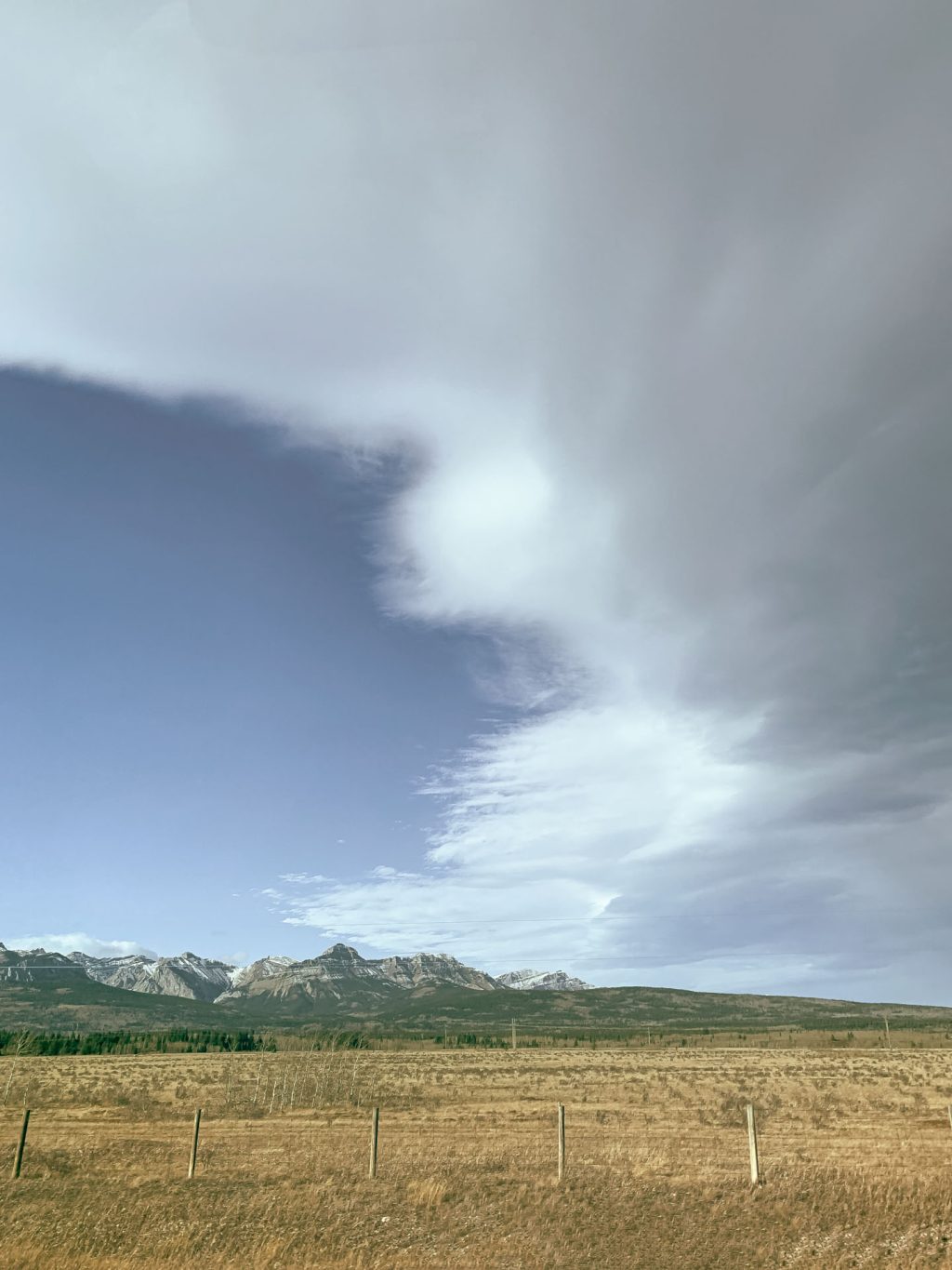
The arrival of a Chinook is signalled by the well-defined edge of the cloud mass, arching across the western sky. Hence the term “Chinook Arch”.
We recently experienced a Chinook while driving home to Canmore from Calgary in early November. We soon passed under the arch as we approached the mountains, travelling west.

This next photograph was taken looking southward, perpendicular to the path of the Chinook, moving eastward.

Lower barometric pressure, such as may occur in Chinooks, and higher mean ambient temperature have been associated with increased risk of migraine headaches.
In winter, temperatures can increase suddenly with the onset of a Chinook wind. In southern Alberta, a normal Chinook wind in winter will drive temperatures up by 20 degrees Celsius in a matter of hours. Chinooks can last hours or days and southern Alberta experiences approximately 30-35 Chinooks per year.
