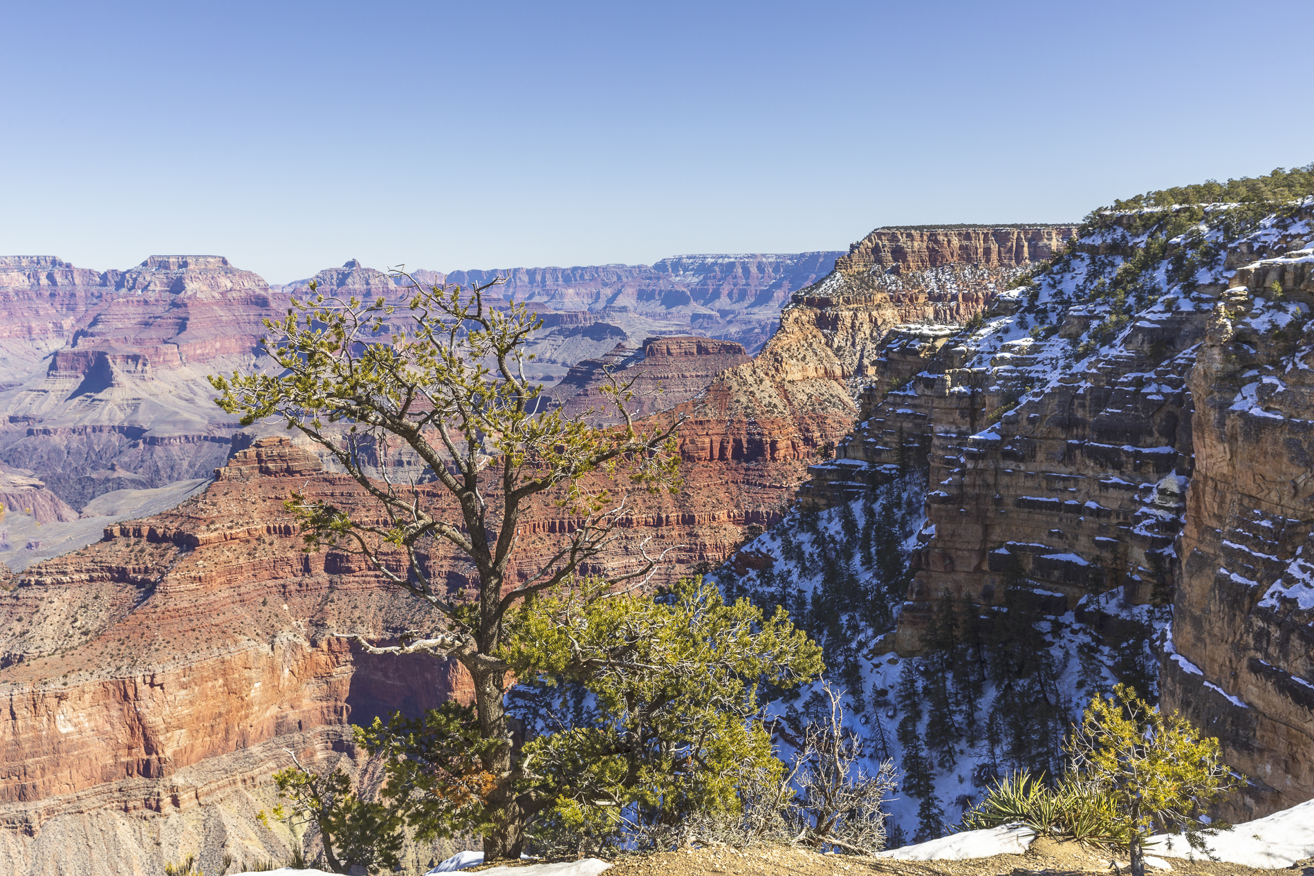
Scenes from the South Rim
This week, Rolande and I traveled with our visitors, Dominic and Connor to the Grand Canyon. It was their first time in Arizona and I know they were impressed by this great wonder.
Most of us are familiar with the Grand Canyon, but perhaps not totally aware of some of the dimensions:
1. It’s a steep-sided canyon carved by the Colorado River in Arizona
2. It’s 277 miles (446 km) long, up to 18 miles (29 km) wide and attains a depth of over a mile (6,093 feet or 1,857 meters).
3. The elevation of it’s South Rim is ~7,000 ft (or 2,134 m); the North Rim is higher with an elevation of ~8,000 ft (2,438 m).
4. Traditionally, the age of the canyon is ascribed at 6 million years but this date refers specifically to when the modern Colorado River came into existence. The debate among geologists continues.
Enough? I’ll get on with the photographs.
This first scene is a view across the canyon to the North Rim, taken from Mather Point, one of many viewpoints along the South Rim pathway.
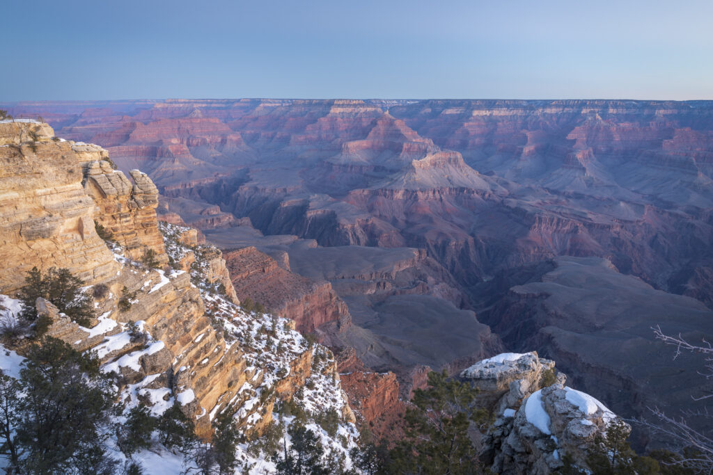
In this same area, I was looking across at Pike Creek, one of many tributaries draining into the Colorado River, at the bottom of the canyon. The variety of colours are strata of sedimentary rock formations deposited over the past 2 billion years. The Colorado River and its tributaries, according to some estimates, have carved their way through to the canyon’s bottom over the past 70 million years.
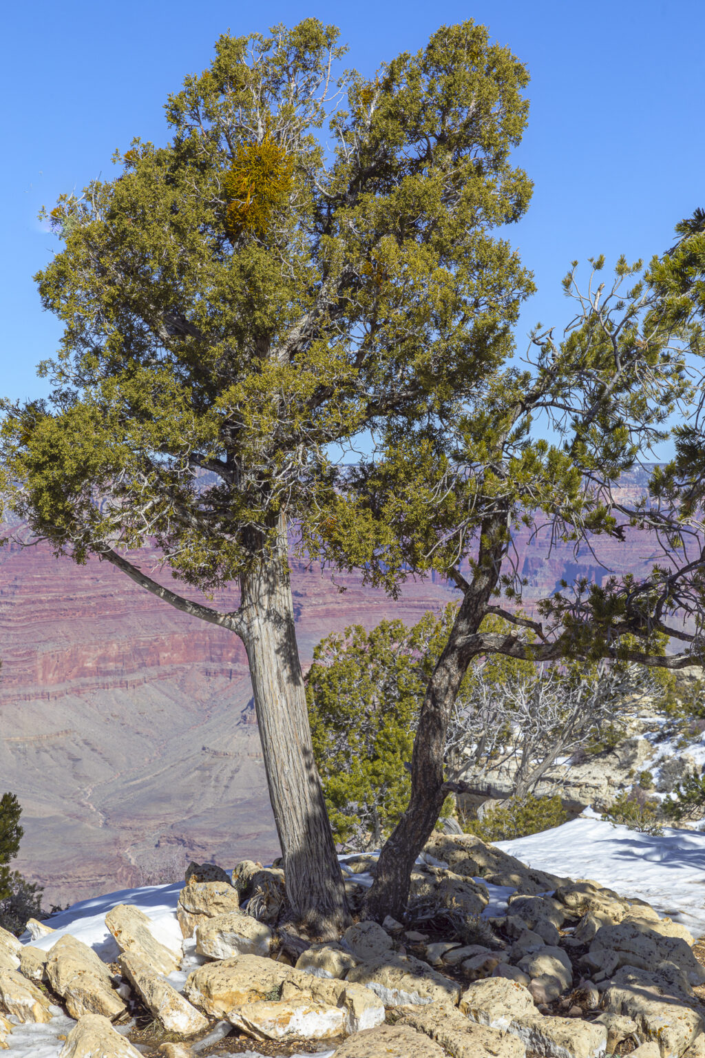
This is a very common tree, found in and around the Grand Canyon. The Piñon Pine grows in southwestern North America, especially, Colorado, Arizona, and Utah. They are a hardy species, well suited to survival in the Grand Canyon’s harsh winter and summer seasons.
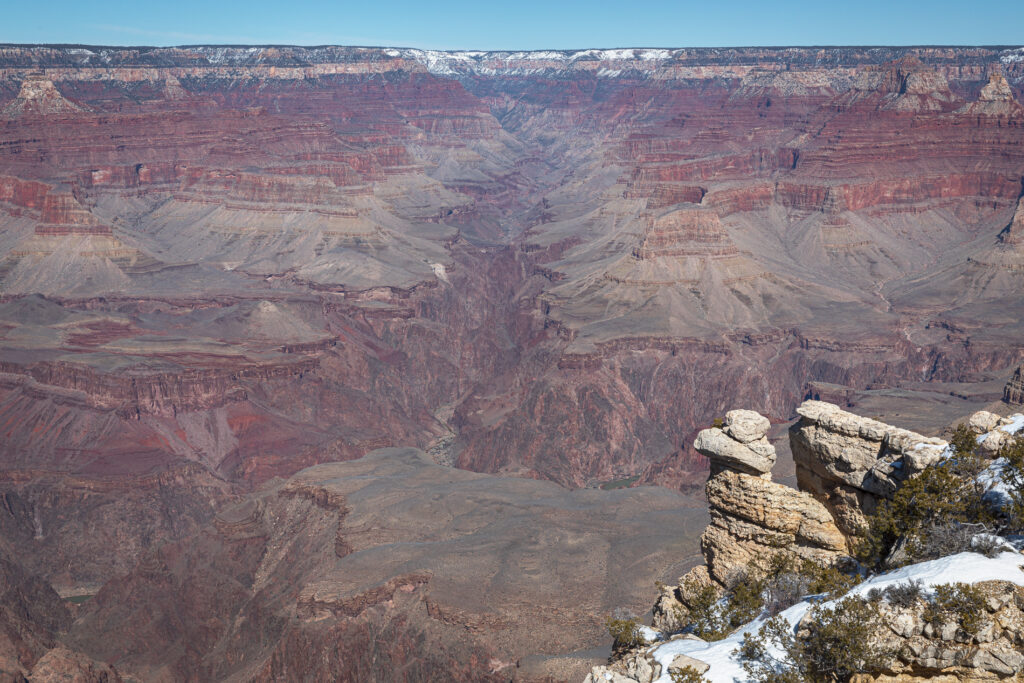
With a depth of one mile (1.61 km), the Grand Canyon is certainly very deep. The bottom of the canyon is a popular location for camping and canoeing and rafting on the Colorado River. Reservations are required for either and must be made well in advance of going into the canyon. There are trails descending from both rims of the canyon to reach the camp grounds and one can also take a rafting journey downstream from Lee’s Ferry.
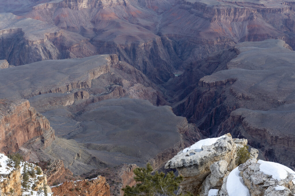
This was my first picture taken upon arrival at the Grand Canyon on this trip. It was taken from Mather Point, looking up river to the east. We were overjoyed to find snow along the rim. Right! It disappears as you descend into the canyon. In general, temperature increases 5.5°F with each 1,000 feet loss in elevation. The highest temperatures are found at the lowest elevations inside the canyon. Low relative humidity and generally clear skies mean that most of the sun’s energy is available for daytime heating.
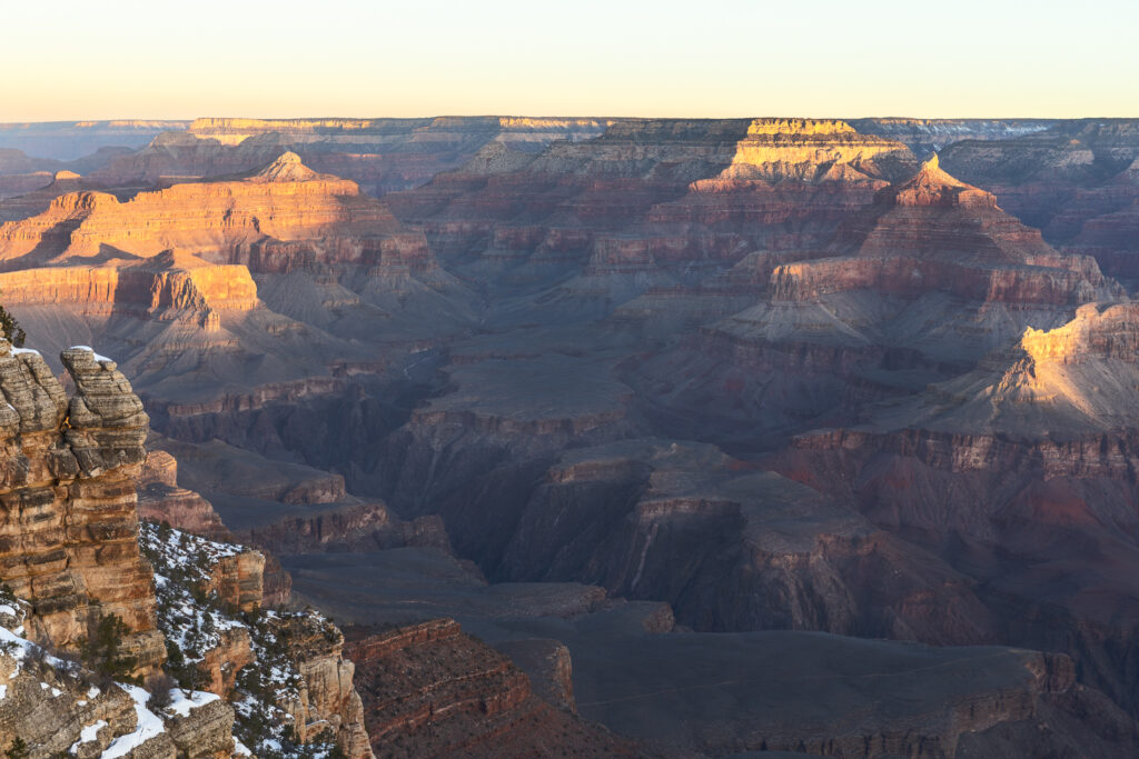
Everyone’s favourite is the sunrise shot (or the sunset photo, alternatively). I took this picture in the early morning of our second day at the canyon. I was not alone. There were easily 50+ people on the Mather Point viewing platform, iPhones at the ready to capture the sunrise.The appeal is the gradual illumination of the canyon as the sun rises in the sky. This particular picture was taken shortly after sunrise, with the peaks alight, while the lower regions of the canyon were still very much in darkness.
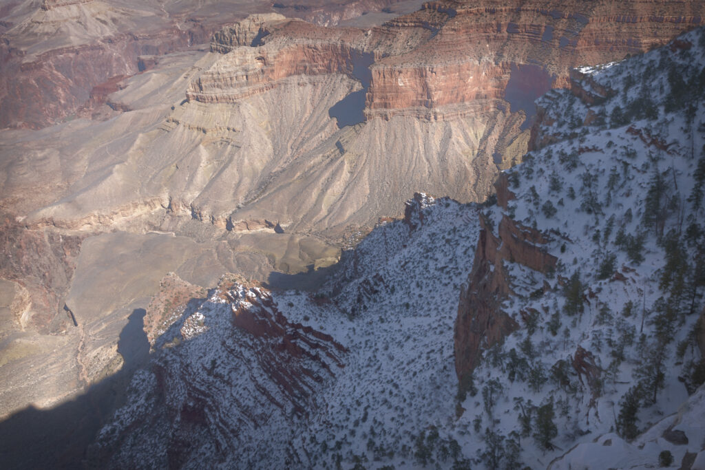
Later that same morning on our way out of the Park, we stopped at another viewpoint, Grandview Point. I chose to isolate some specific rock formations, using a telephoto lens to zoom in for greater detail. I don’t know the name of this particular formation, if it has one (Focal length 200mm).
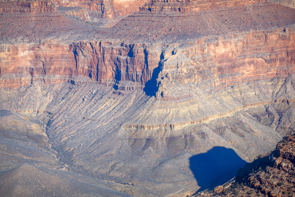
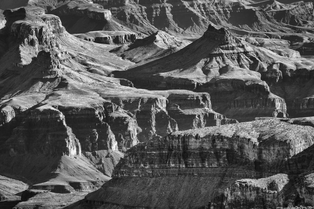
My last picture for today, also photographed at Grandview point was also taken with a telephoto lens (Focal length 150mm). I was facing somewhat into the sun. There wasn’t much colour, but there were good highlights and shadows. It is a good situation for conversion of the original image to black and white. I’m pleased I did; I’m happy with the result.
It was good to return to the Grand Canyon. I enjoyed the reaction of our first-time visitors, amazement! And of course, it’s a place with endless photographic opportunities.

