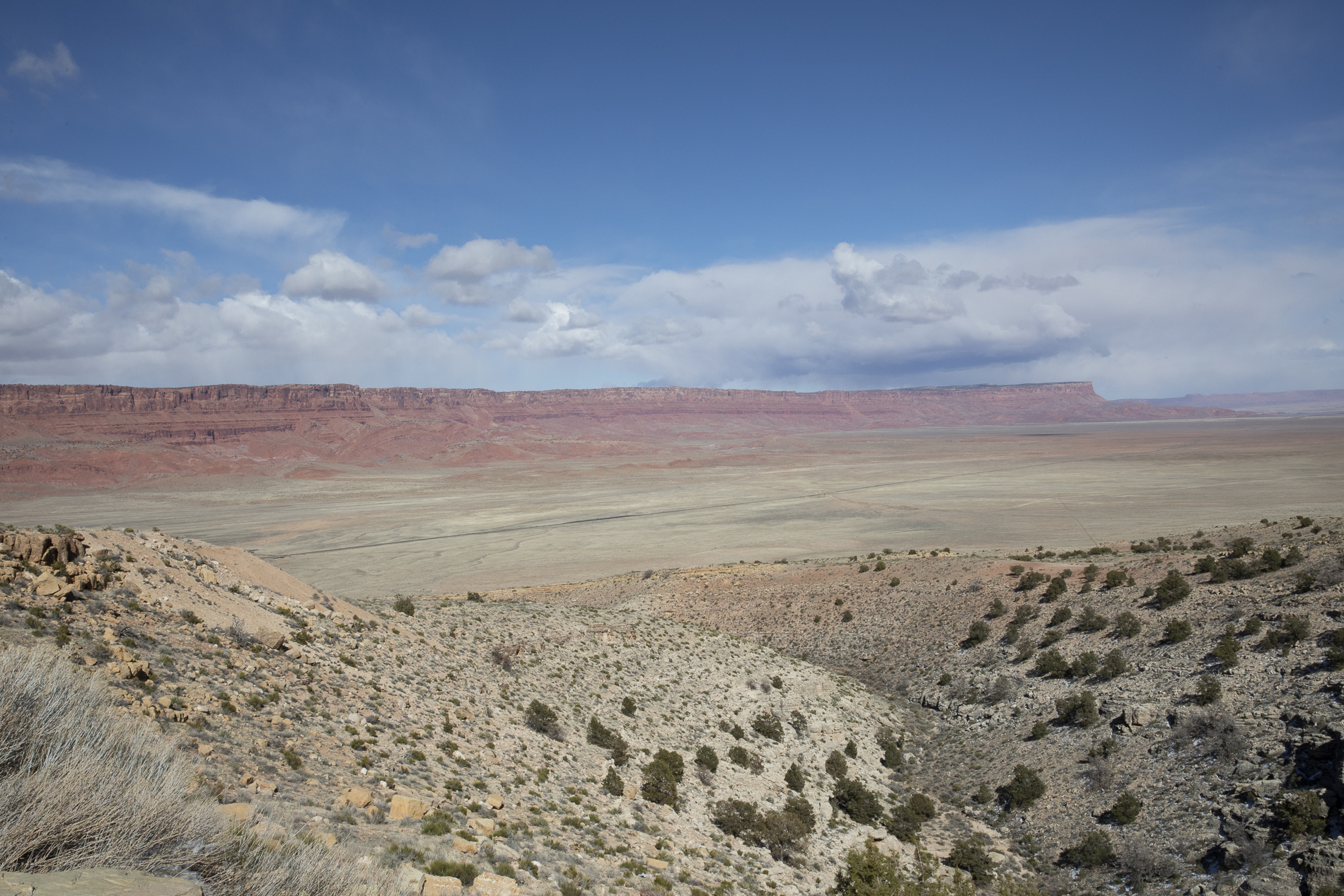
Overview
This was the year to renew a yearly photography tour to northern Arizona and southern Utah, something I had not done since 2019. Our last planned tour was scheduled for April 2020, but alas, Covid intervened and sidelined the event for the past 3 years. This year’s event included two visitors from our home town of Canmore, Alberta. Tracey Wilkins and Steve Scott made the trip to Arizona to join me in last week’s four day excursion.
We covered a lot of ground this year, visiting six different locations over the four days. Today, I’m going to highlight each of these locations with a photograph taken at each.
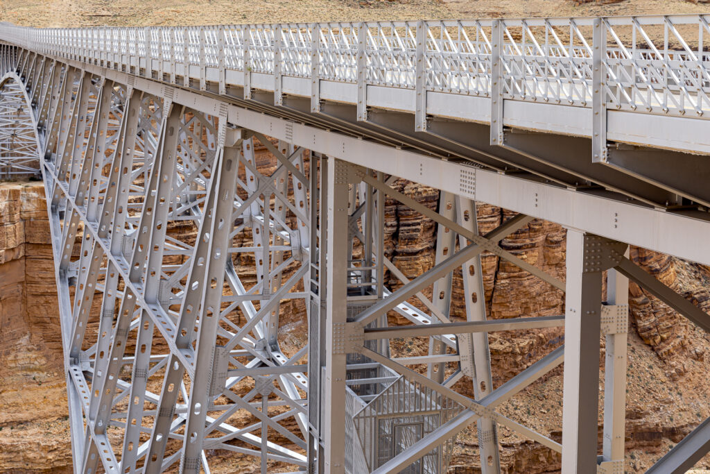
The first area we visited and photographed included three locations, beginning with the Navajo Bridge crossing the Colorado River, upstream of the Grand Canyon. This bridge, completed in 1995 replaced the Historic Navajo Bridge, completed in 1929. The adjacent, original bridge is still there, serving as a pedestrian bridge, and the newer bridge serves vehicular traffic. The spans of the two bridges are roughly the same, about 900 ft. (275 meters).
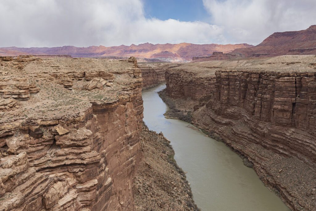
This next photograph was taken from the pedestrian bridge, above the Colorado River, looking upstream. The Glen Canyon is about 500 ft. (152 meters) deep at this location.
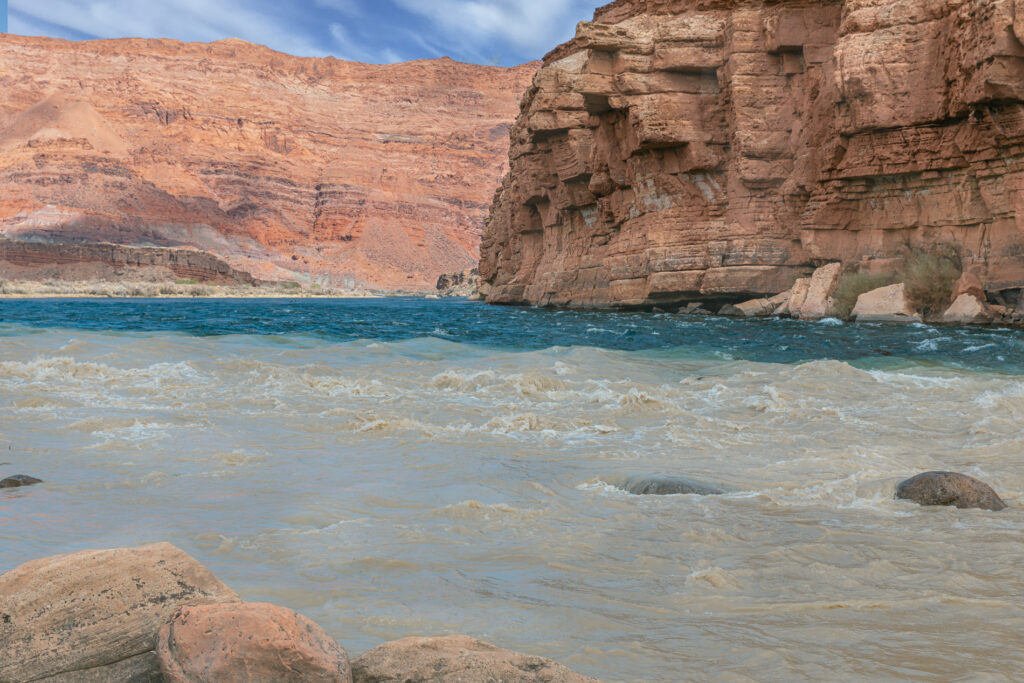
Having crossed to the opposite side of the river, we motored upstream to Lee’s Ferry, located at the river’s level. The river’s coloration is seen to blend with that of a tributary joining the Colorado at this point.
Lee’s Ferry is the only place within Glen Canyon where visitors can descend to the Colorado River in over 700 miles of the canyon’s length. A natural corridor between Utah and Arizona, Lee’s Ferry figured prominently in the exploration and settlement of northern Arizona.
Here at the very start of the Grand Canyon, adventurous river runners launch their boats for trips down through the canyon. From here, we moved on to the town of Kanab, UT, where we spent the next two nights.
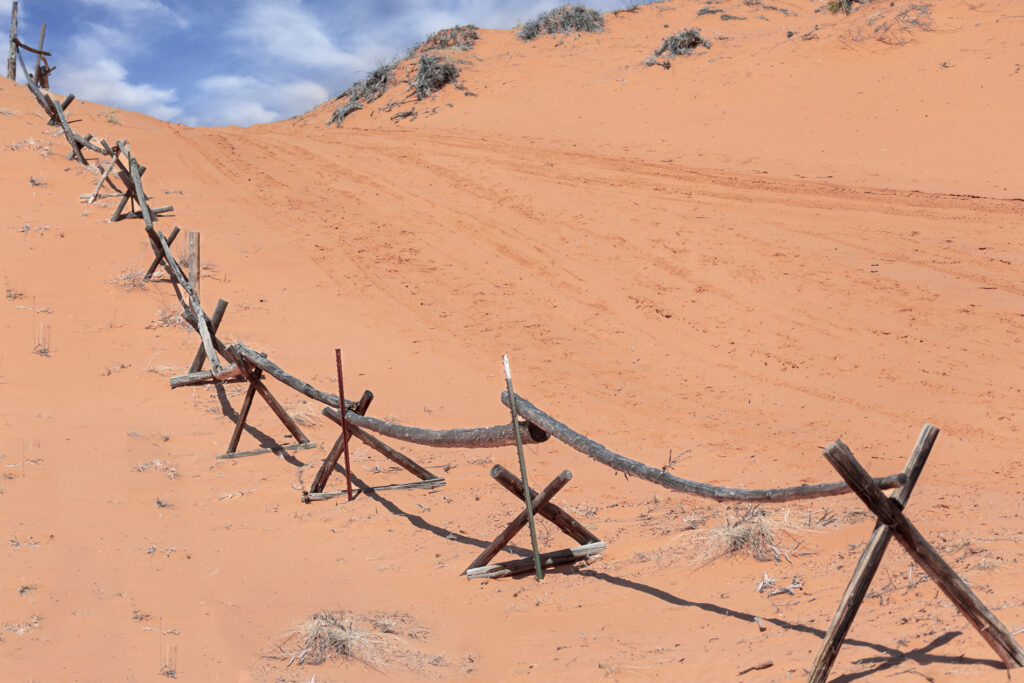
The following morning, we traveled a short distance to the Coral Pink Sand Dunes State Park, a scenic area with dunes of warm, pink sand. The dunes have become a favourite place to ride off-highway vehicles. Sand boarding (snow boarding on sand), has also become a popular sport.
This scene features a rudimentary fence line descending into the dunes. You can see tire tracks of the All Terrain Vehicles that frequent the area.
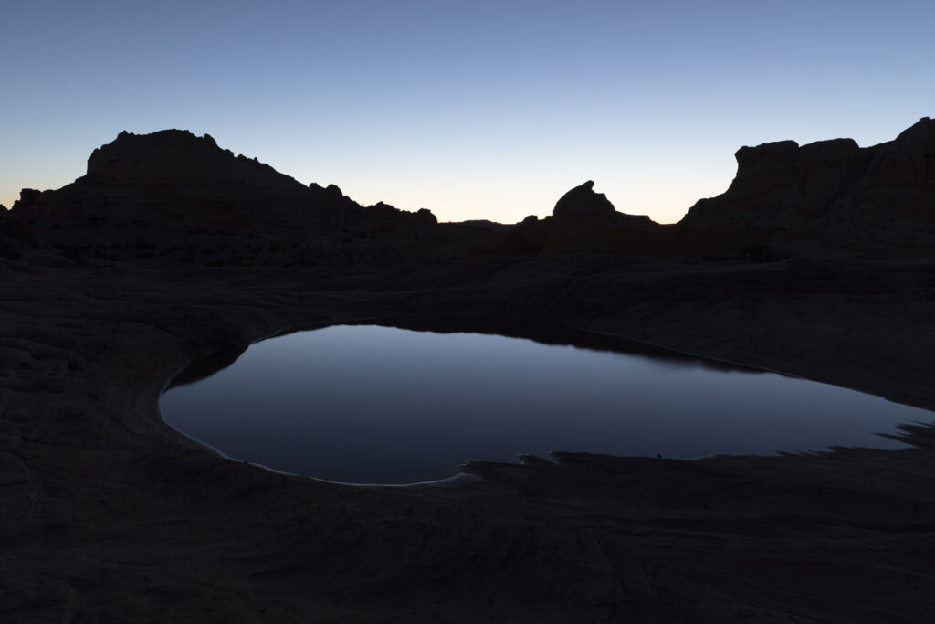
After a morning exploring and photographing the dunes, we met our guide for the visit to the White Pocket, a remote region of the Paria Plateau. It features swirling, multi-coloured formations of Navajo sandstone, including domes, hoodoos, gullies and potholes. It can be reached by a long drive on unpaved roads, some requiring a high clearance 4WD vehicle. The White Pocket was planned as the highlight of our trip and it did not disappoint.
This dramatic photo was taken after dark atop the rock formation. It shows one of the many ponds atop the structure, reflecting the last light of day. I don’t normally take pictures of this nature, a silhouetted scene. This photo has a strong appeal for me and I hope it will serve as a good prologue to the upcoming post about the White Pocket.
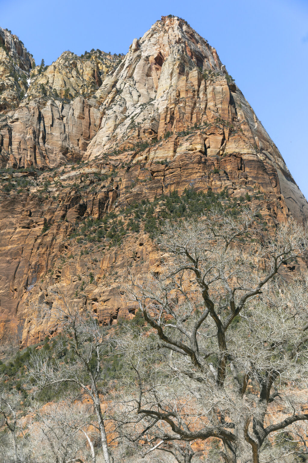
Following a late night return to Kanab from the White Pocket, we arose the next morning for the one hour trip to Zion National Park, one of the most popular parks in the United States. I chose this picture taken from in front of the Zion National Park Lodge.
We spent the morning at Zion before moving on to Bryce Canyon National Park, about two hours further north.
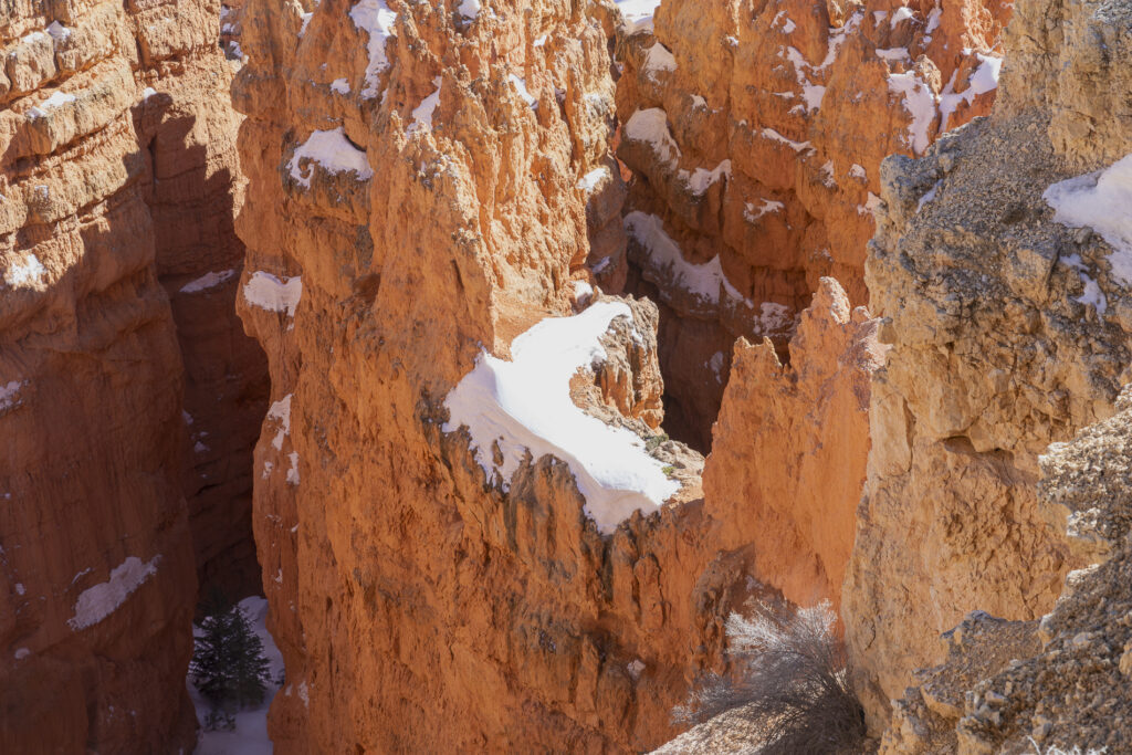
The rim of Bryce Canyon is at an elevation of 8,000 ft. (2,438 meters) above sea level. As the scene will indicate the park is still experiencing winter conditions. The good news is that we were able to capture scenes with snow upon the massive and colourful hoodoos of Bryce Canyon. On the negative side, hiking trails were closed due to the abundance of snow and temperatures were very cold, particularly the following morning when we left for our final destination, Water Holes Canyon.
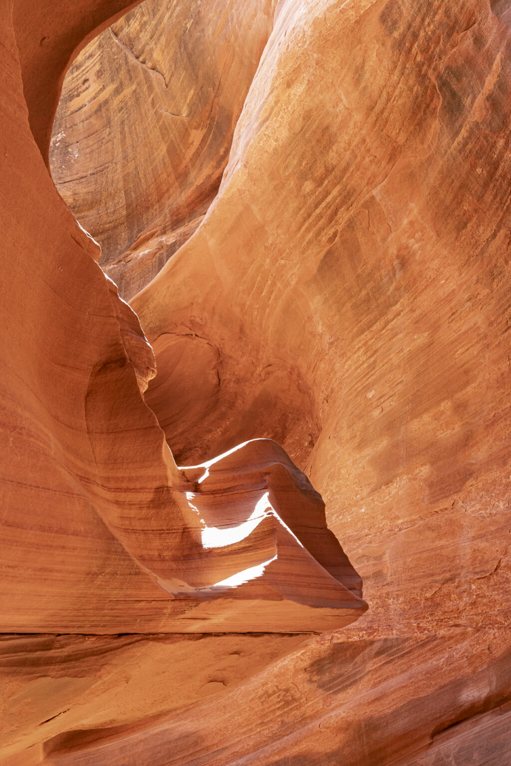
Water Holes is a drainage system that forms several beautiful slot canyons, cutting through the red Navajo sandstone rocks around Lake Powell. It is only a few miles from the town of Page, AZ, not far from Antelope Canyon. The watercourse extends either side of a main road (US 89) and becomes much deeper downstream, with a number of sheer drops.
Slot canyons are typically very narrow and much deeper than they are wide. Following is a picture displaying an area of one of the canyons. Because the opening on the top of the canyons is narrow, much of the light entering is reflected off the walls before reaching the bottom. The reflected light is softer, free of glare and creates a pleasing glow on the canyon walls.
That’s it for today’s overview of our trip. As I mentioned earlier, it’s intended as a prelude to more posts to follow, which will offer a great number of photos for each of the locations. Stay tuned.

