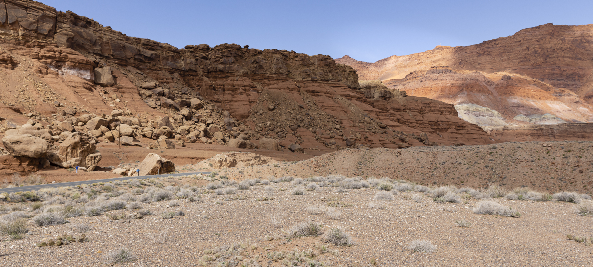
Today I’m publishing more photographs from last month’s photography excursion to Northern Arizona and Southern Utah. I’m combining some of my favourite shots from two of our shooting locations, Lee’s Ferry and Navajo Bridge. These locations are close to one another, both situated on the Colorado River, about 6 miles (9 km) apart.
Lee’s Ferry is located in northern Arizona, at the point where the Paria River joins the Colorado from the north. Lying in an open valley directly downstream from Glen Canyon, it is the only place in more than 260 miles (420 km) where the Colorado is not hemmed in by sheer canyon walls. This made it an important crossing point before the construction of the Navajo and Glen Canyon Bridges in the 20th century. Lee’s Ferry is considered the northernmost end of Grand Canyon National Park and is the launching point for adventurers, rafting through the Grand Canyon. It lies 689 miles (1,109 km) upstream of the Colorado’s mouth at the Gulf of California, at the approximate halfway mark of the river’s length.
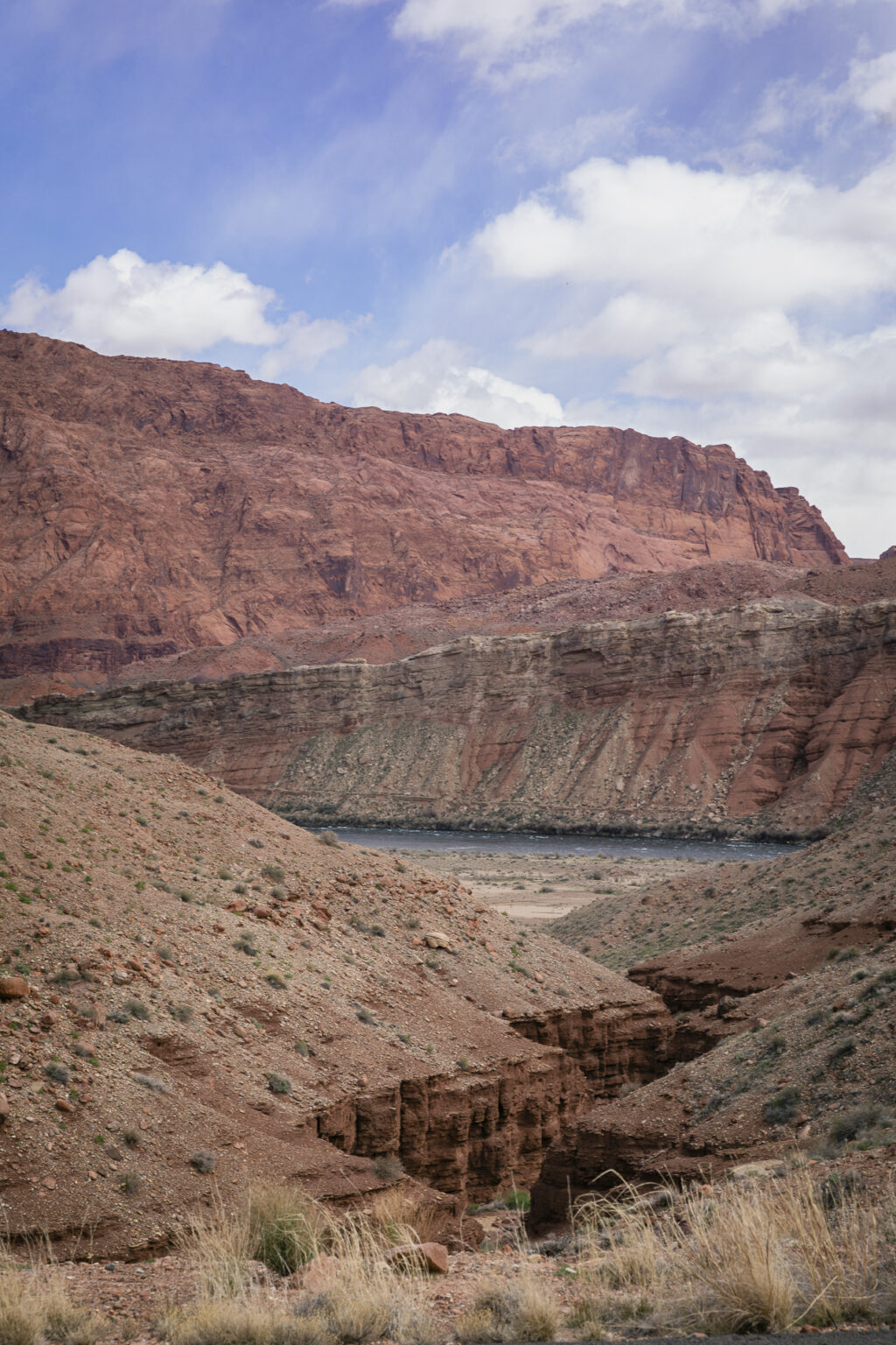
My first photograph today features a wash that drains into the Colorado River. (A wash is a shallow channel that follows the contours of the land and allows water to flow — or wash — from higher elevations to lower.) There are several similar, washes along this stretch of the river. They all look to me like miniature canyons within the greater Glen Canyon, upstream of Lee’s Ferry.
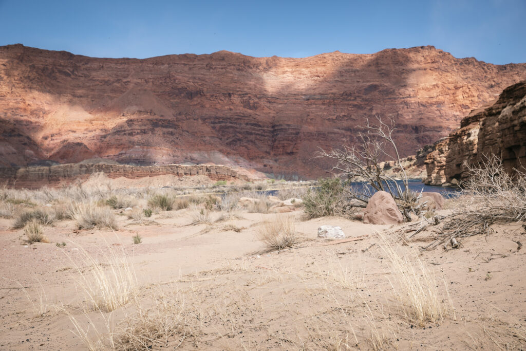
I refer (with tongue-in cheek) to this scene as the Colorado River Beach. It’s sandy and adjacent to the river, but I’ve never seen anyone sun bathing or frolicking in the water.
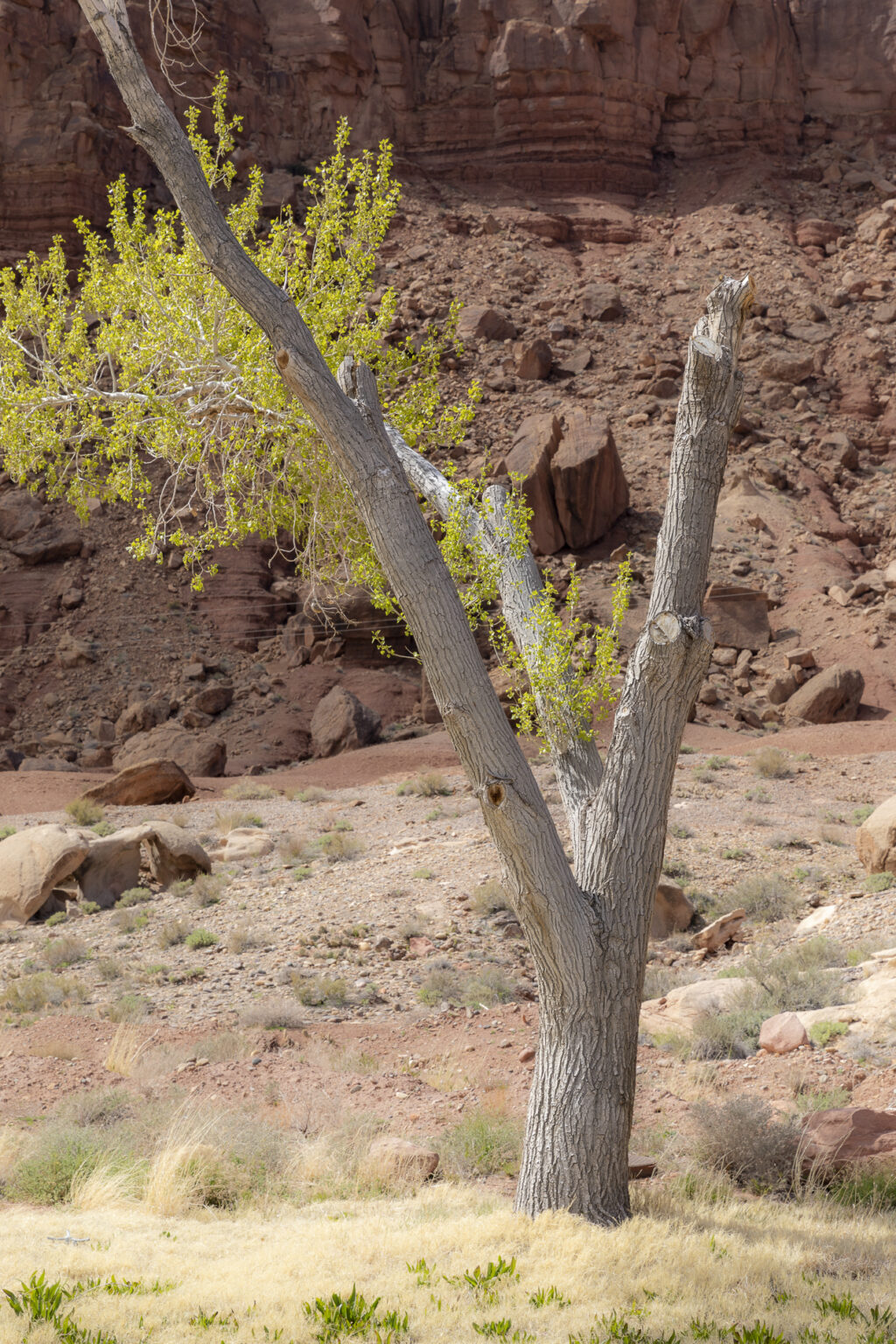
It was early April when these photos were taken, early springtime. This tree is leafed, a true sign of the season. I like the combination of the complementary colours, green and red in this picture. My timing was fortunate.
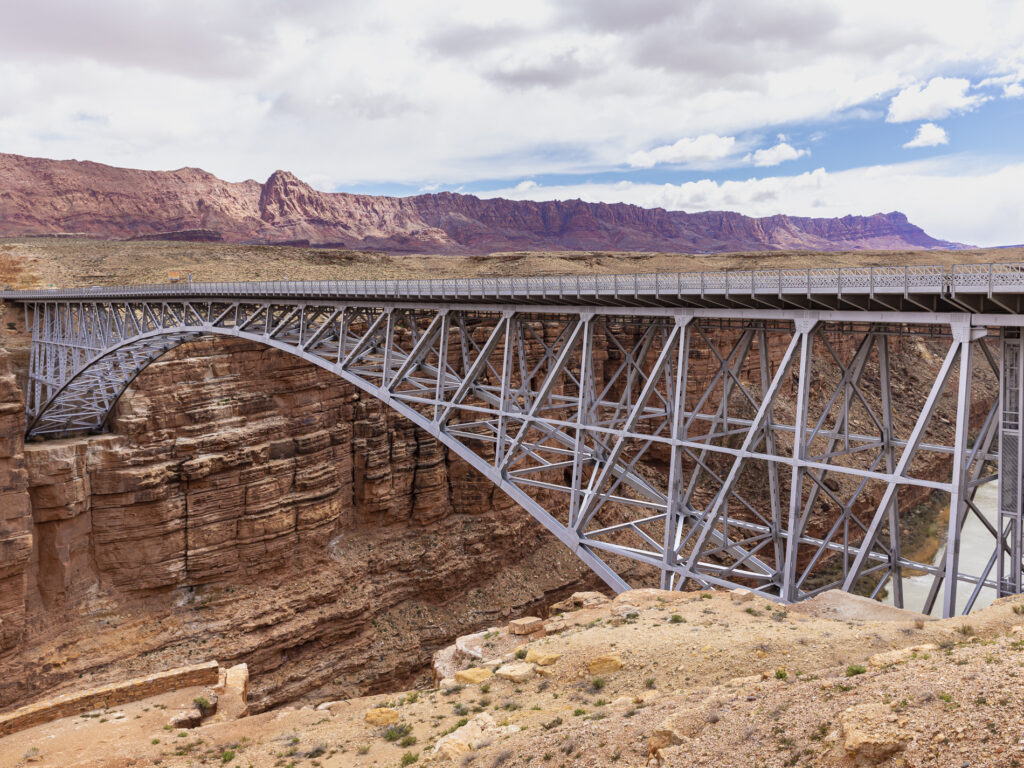
Having enjoyed the photography at Lee’s Ferry, we motored downstream to the Navajo Bridges, twin steel spandrel arch bridges that cross the Colorado River in the Grand Canyon National Park in northern Coconino County, Arizona. Those traveling on Highway 89A between Bitter Springs and Jacob Lake, AZ arrive at two bridges similar in appearance spanning the Colorado River. These two bridges, one historic and one new, represent one of only seven land crossings of the Colorado River for 750 miles (1207 km).
The first span of the bridge was opened to traffic on January 12, 1929.
Navajo Bridge served the area well for 66 years. However, as automobiles and trucks became larger, wider, and heavier, the need for a stronger, wider bridge became evident. The time had come to replace the historic bridge. It was decided a new bridge would be built just downstream from the existing bridge, with new approaches on each side. The historic bridge would remain and serve as a pedestrian bridge and provide visitors with a breathtaking view of the Colorado River 467 feet (142m) below.
This photograph features the newer span and was taken from the historic bridge.
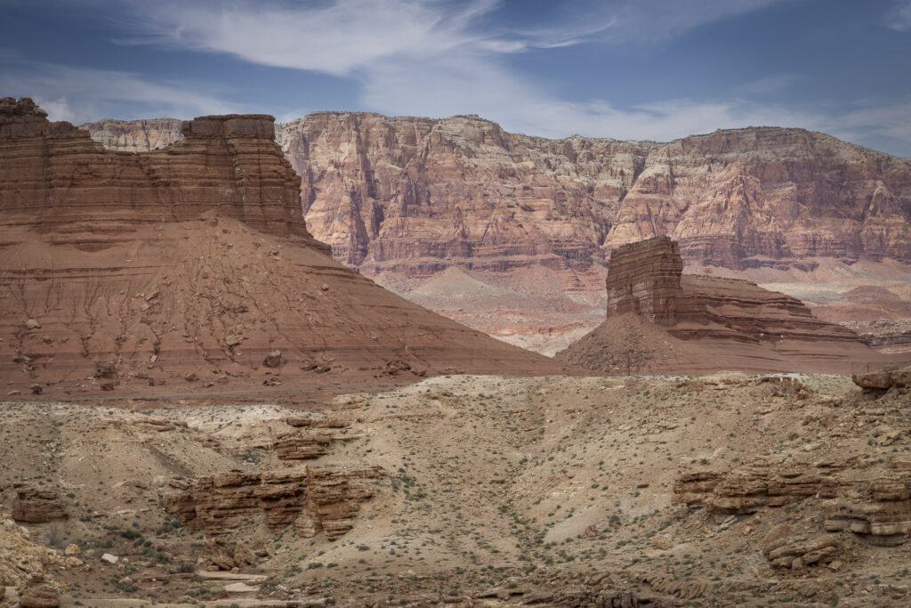
Looking north from the bridges I photographed this stunning view of the Grand Staircase Escalante, a national monument so called for the series of plateaus that descend from Bryce Canyon, south toward the Grand Canyon. It is marked by vertical drops at the Pink Cliffs, Grey Cliffs, White Cliffs, Vermillion Cliffs and Chocolate Cliffs. Lots of colourful scenery!
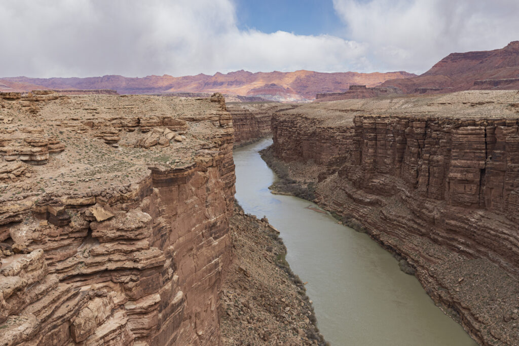
My last photograph for today was also taken from the pedestrian bridge, looking upstream along the Colorado River, flowing westward in the Glen Canyon, toward the Grand Canyon.
I’m reaching the end of my travelogue, featuring many of the photographic marvels of Northern Arizona and Southern Utah. I will conclude with one or two more posts including photographs from Zion and Bryce National Parks and an interesting area, not far from today’s locations, referred to as “Cliff Dwellers“.

