The third day of our photo excursion was unusual in my experience. We visited two national parks on that single day. Bryce Canyon and Zion are two of the five national parks in southern Utah, and normally one would expect to spend a full day at each one. They are located 85 miles (135 km) and 2 hours apart. We spent the morning at Zion and some of the afternoon at Bryce.
Let me begin with a few scenes from Zion National Park.
Zion National Park is a southwest Utah nature preserve distinguished by Zion Canyon’s steep red cliffs. The highlight of Zion National Park is the expansive canyon, averaging 2,000 feet (610 m) deep. The park is a nature preserve distinguished by the canyon’s steep red cliffs. Zion Canyon Scenic Drive cuts through its main section, leading to forest trails along the Virgin River. The river flows to the Emerald Pools, which have waterfalls and a hanging garden.
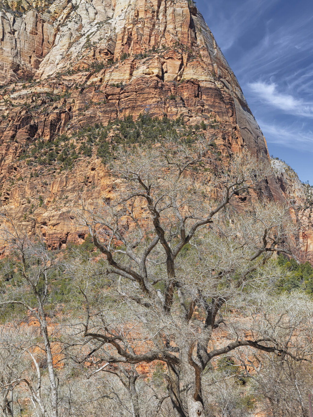
My first photograph was taken in front of the Zion NP Lodge, looking across the canyon to Lady Mountain. I was mainly interested in the large tree, my subject, between me and the opposite rock face. It is still early spring, before the deciduous trees had leafed.
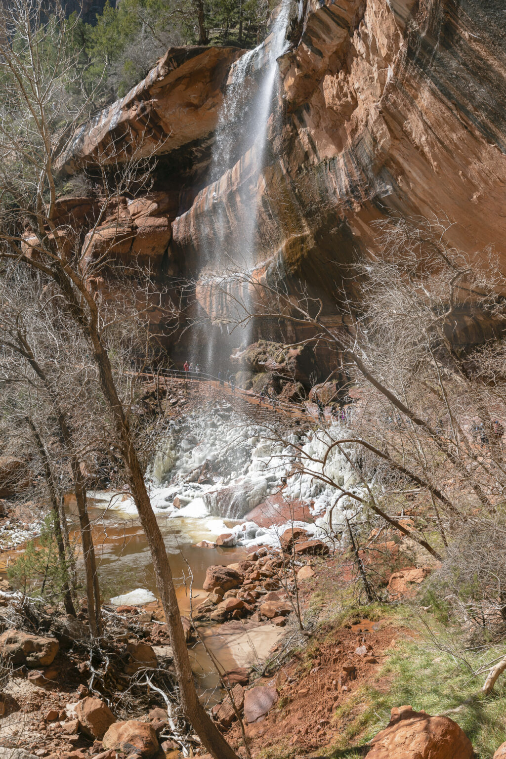
This waterfall plunges into the Emerald Pools beneath. The name comes from the bright, emerald green algae that colour the water. (Perhaps at another time of the year.) There are three sections: the Upper, Middle, and Lower Emerald Pools. Although the morning was comfortably warm, it was cold enough over night for the falling mist to freeze on the cold rocks at the base of the waterfall.
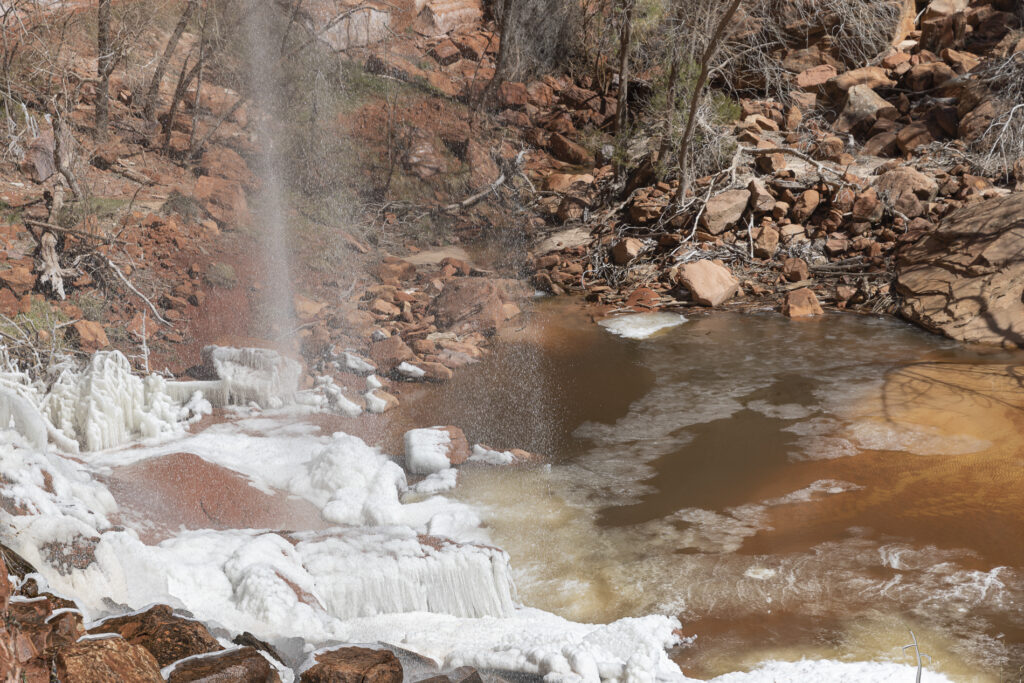
Here’s a closer view of the Emerald Pool.
We moved on to Bryce Canyon in early afternoon. We anticipated it would be colder and we were pleasantly surprised by the moderate afternoon temperature. Unfortunately there was a significant accumulation of snow, which prevented us from hiking down into the canyon, limiting the photographic opportunities available to us. We did photograph from the trail along the canyon’s rim, where I captured the following photographs.
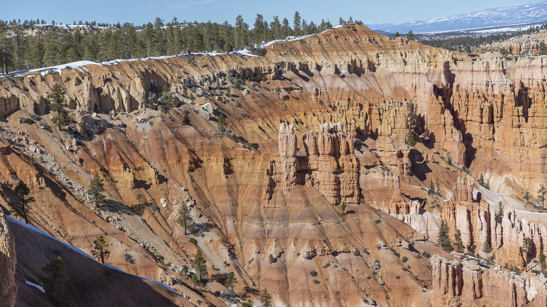
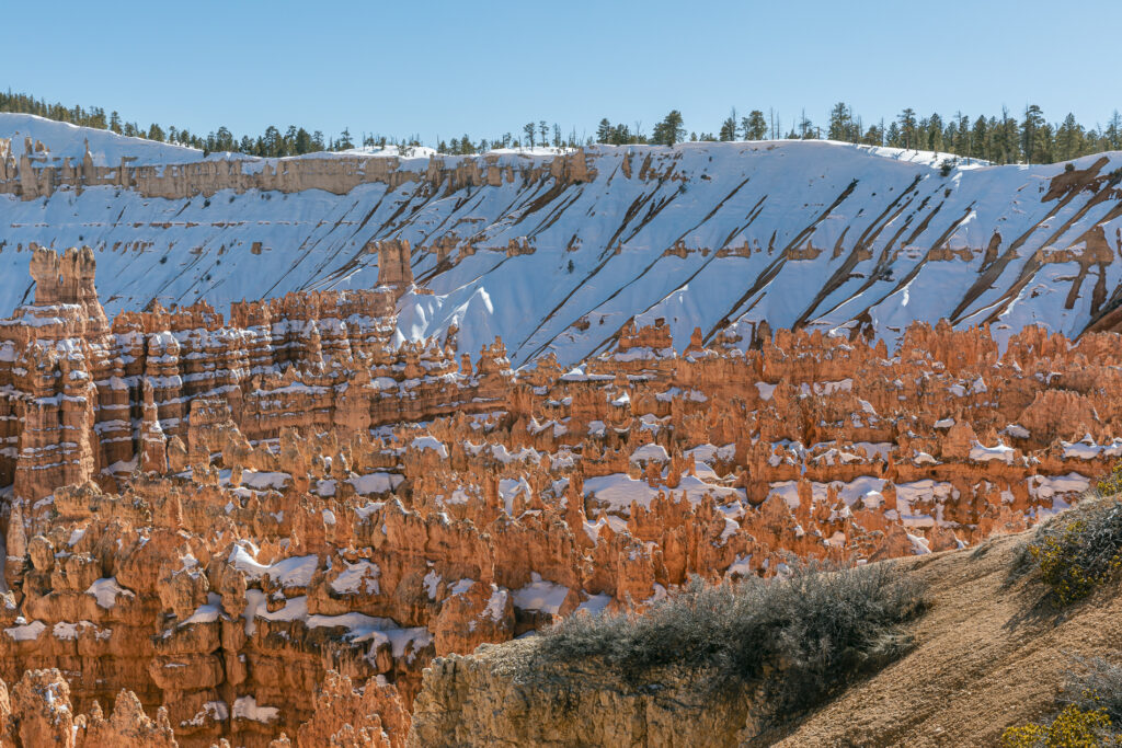
This first one was taken from Sunset Point, overlooking the brightly coloured hoodoos in the canyon below. I was pleased to see and photograph the snow on the hoodoos and the opposite wall of the canyon. This is a very small area of the vast expanse of the canyon.
I devoted most of my efforts to shooting close-up views of snow-covered hoodoos beneath my positions on the canyon rim. The next two photos are my favourites from those I took.
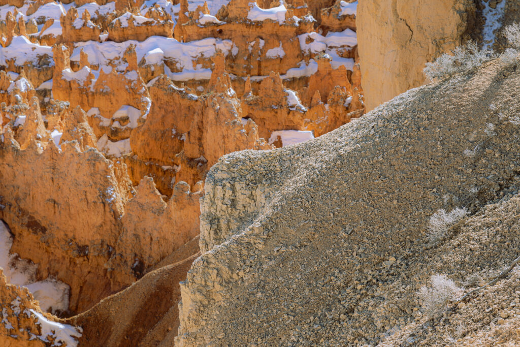
This downward view offers a glimpse of the trail leading down to the bottom of the canyon, known as the Navajo Loop Trail.
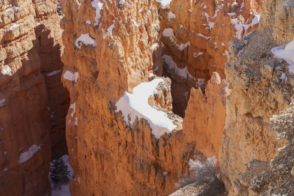
We had initially hoped to capture the sunset that evening and possibly the sunrise the following morning. Unfortunately the temperatures were sufficiently low to discourage even hardy Canadians. We awakened to a chilly 0 deg F (-18 deg C ) and chose to move on with our journey home. Did I mention that the elevation of Bryce Canyon is 8,000 ft. (2,438 m.) above sea level? Brrr!
I think we made the most of the less than ideal conditions.

