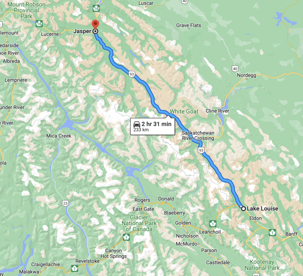
I’ve now been home in Alberta since early May. Last week, I resumed photography, having paused after some pretty intensive shooting in April. Last week, I went out with Bob Bear to begin a project we’ve undertaken for this summer. We plan to photograph our favourite scenes along the Ice Field Parkway, between Lake Louise and Jasper.
Rated as one of the top drives in the world by Condé Nast Traveller, the Ice Field Parkway is a 233 km stretch of double-lane highway, winding along the Continental Divide through soaring Rocky Mountain peaks, ice fields and vast sweeping valleys.
We know the area well, having traveled and photographed it for close to 15 years. This time, we plan to do a sequential shoot from one end to the other.
We started last Tuesday, June 6, beginning at Herbert Lake (near Lake Louise) and working our way north to Saskatchewan River Crossing. We left Canmore at 5:30 am and took our last photographs, at Bow Lake at 1:45 pm.
We’re planning our next photo session for later this week, June 15.
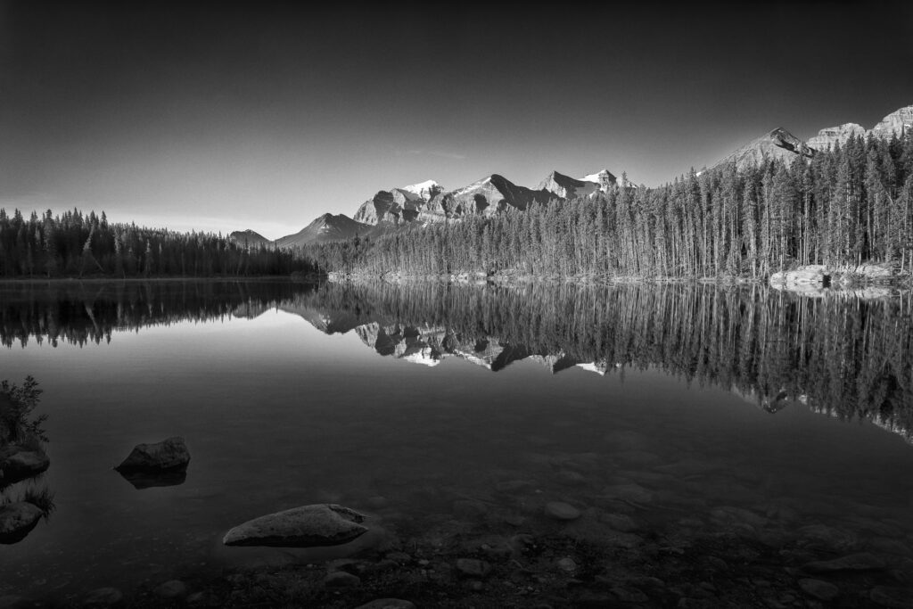
Our first stop for the day was Herbert Lake. The sun had been up for awhile but was still low in the sky. It was behind us, illuminating the opposite side of the lake and the mountains in the background. Our vantage point on the eastern shore of the lake was in shadow, making it a little challenging to capture the detail in the foreground. I used a circular polarizer filter to cut the glare on the water’s surface, helping me to capture the rocks and fallen tree trunks on the lake bottom.
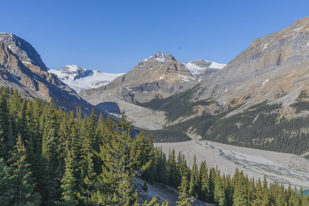
Moving along, we made our next stop at Peyto Lake. I didn’t do a great job here, so for today’s post I’ve included only a picture of the Peyto Glacier, which feeds the lake below. I hope to have the opportunity to take another crack at the lake on one of our upcoming trips.
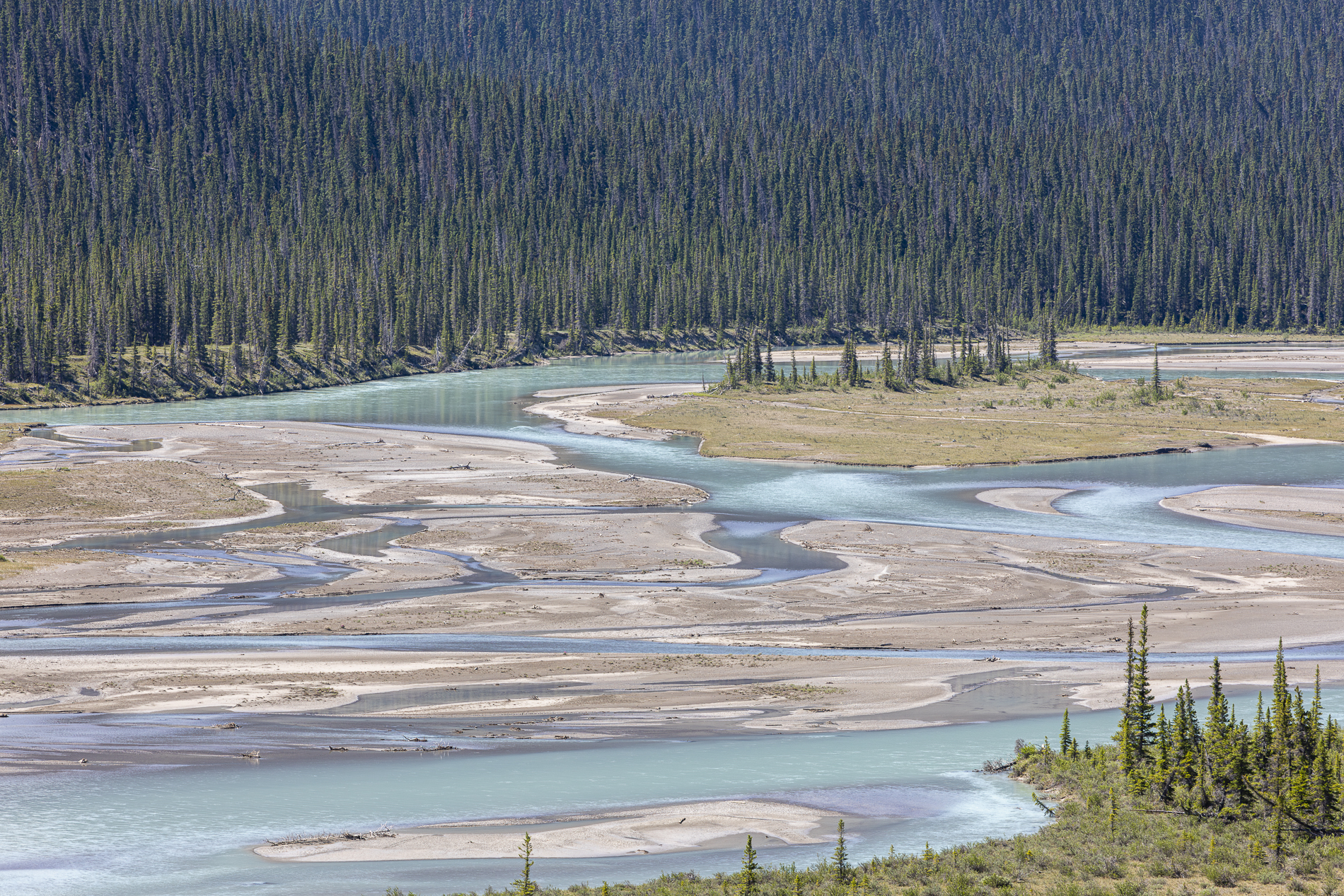
Our next stop was the Howse Pass Viewpoint, near Saskatchewan River Crossing. We took several pictures of the river from there, including my favourite, the featured image for this post, included as the masthead at the top of the blog.
Having reversed our direction, we traveled southward to our next destination, Mistaya Canyon, a short distance south of the North Saskatchewan River. This scene features the Mistaya River being funnelled into a narrow channel , just above its namesake waterfall. This river flows north from Peyto Lake to where it joins the N. Saskatchewan River.
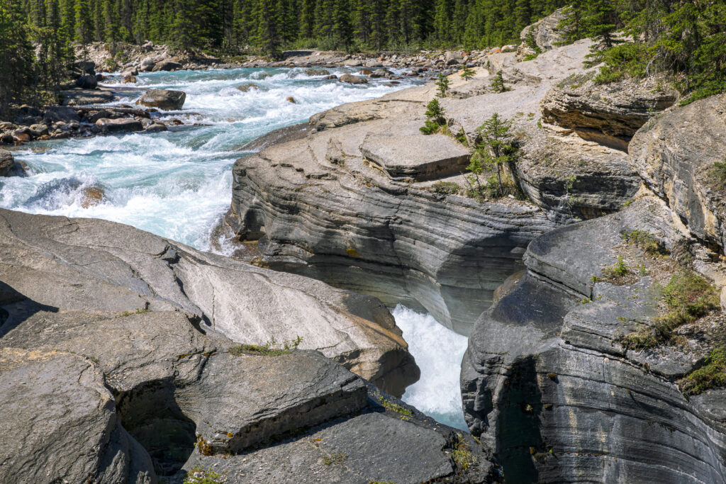
This scene shows the river, just above the Mistaya Waterfall. That’s Sarbach Mountain in the background.
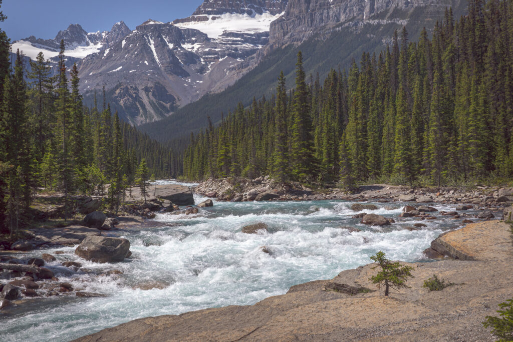
Sarbach Mountain is a prominent series of peaks, extending south from the N. Saskatchewan River. It’s presence is obvious; it appears in many of the pictures I took.
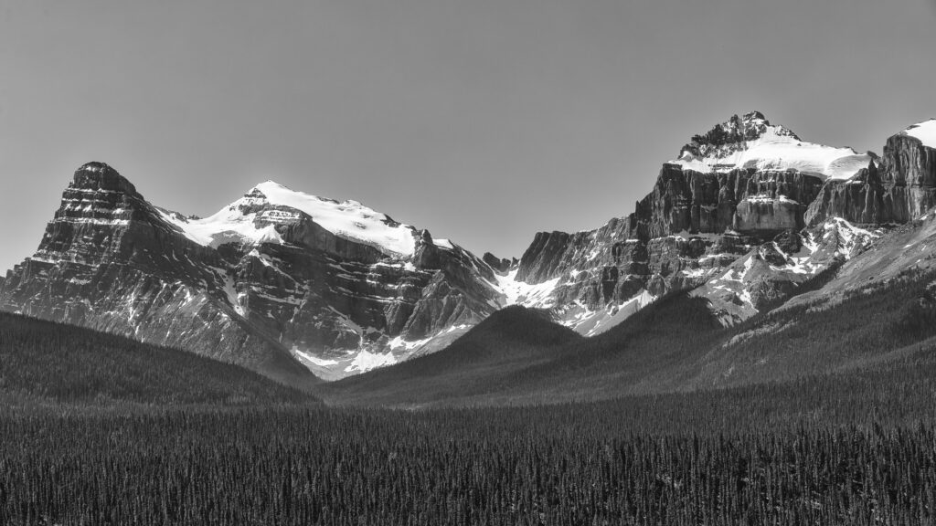
Our final stop for the day was Bow Lake, about 1-1/2 hours from home. We took a number of pictures there, including this view to the west that shows the Bow Glacier, between Mount Thompson (right) and Vulture Peak (left). Melt water from the glacier flows into Bow Lake, which is drained by the Bow River, flowing on to Lake Louise, Banff , Canmore and Calgary and beyond. It winds through the Alberta foothills onto the prairies, where it meets the Oldman River, forming the South Saskatchewan River. These waters ultimately flow through the Nelson River into Hudson Bay.
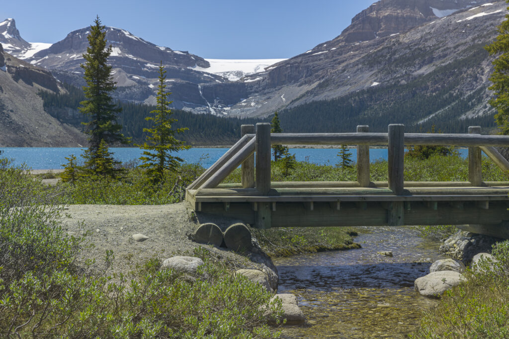
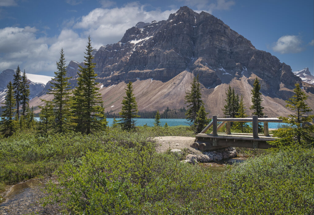
Today’s final picture features Crowfoot Mountain, the landmark for Bow Lake and subject of many photographs, including dozens of my own.
Stay tuned for future posts as we continue our safari along the Ice Field Parkway.

