Water, water everywhere…
Today’s post is the second of a series on our photographic journey along the Ice Field Parkway to Jasper. I expect there will be 1-2 more such trips to complete the collection. Those trips may be later in the summer or even early autumn. We are now in the tourist season and it can be difficult to manoeuvre among the crowds at the more popular destinations.
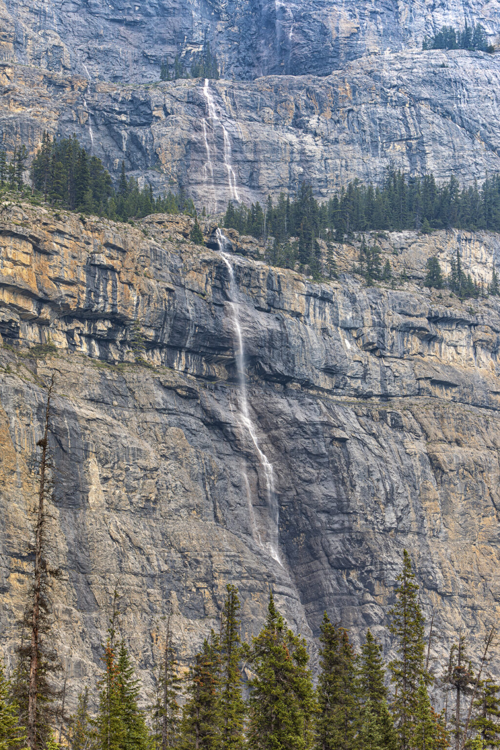
Today, I’ll share a few photographs from our June 15th excursion. Bob and I left early for the drive to Saskatchewan Crossing, where we began stage 2 of our odyssey. We holstered the cameras until we reached Waterfall Alley, a segment of the parkway known for the profusion of waterfalls. Our first stop was the Weeping Wall, a very high cliff with multiple streams plunging the 1,180 ft. (360 meters) to the bottom. The streams appear small and wispy, attributable to the many channels taken by the water for its descent. And optically, the enormity of the cliff face dwarfs the scale of the falling water.
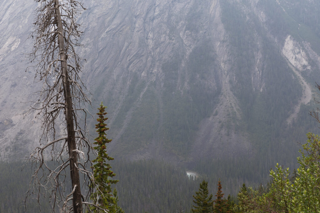
We made a stop at an elevated location of the highway. We hoped to take a picture down the valley but the haze in the air that morning obscured what is usually a great view. I chose instead to take this shot of an old dead tree, with Mount Saskatchewan in the background.
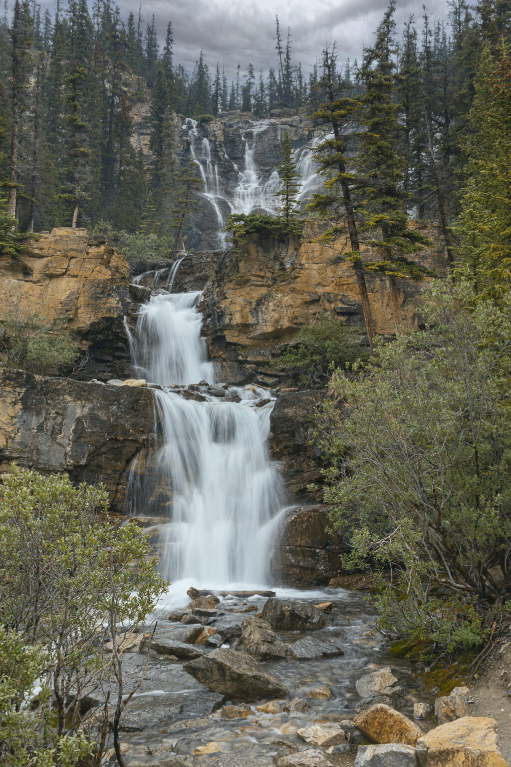
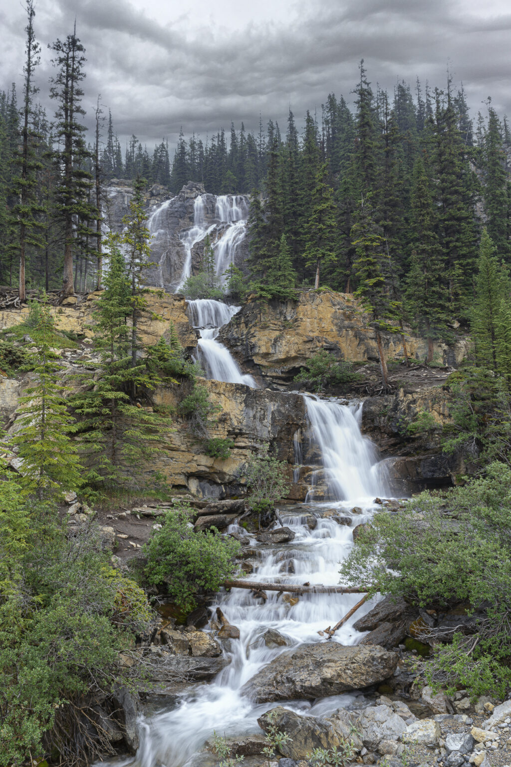
Soon after, we came to a favourite stop, Tangle Creek Falls. These falls are multi-tiered, like a staircase, with a combination of multiple streams that become “entangled” to form a single stream for the final drop. These falls are not renowned for their height and the volume of water, nor do they do not exude power like others do. Their appeal lies in their appearance and setting among the colourful rocks and the many trees that frame this scene.
Here’s another perspective of those same falls, taken from a different location. We were fortunate to arrive when we did. We were able to get our pictures before a crowd developed and the scene became cluttered with “hands on” explorers.
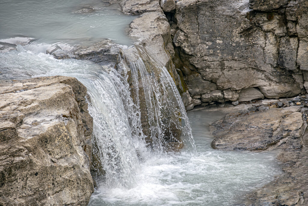
“Water, water everywhere.” This is a smaller yet attractive waterfall, found along the parkway. I took this photo from the roadside, at a much greater distance than at Tangle Creek Falls.I used a telephoto lens, at a focal length of 400 mm to capture this scene. I also used a fairly short exposure, with a shutter speed of 1/320 of a second. This was fast enough to effectively “freeze” the water’s motion. (Nothing travels far in a small fraction of a second!)
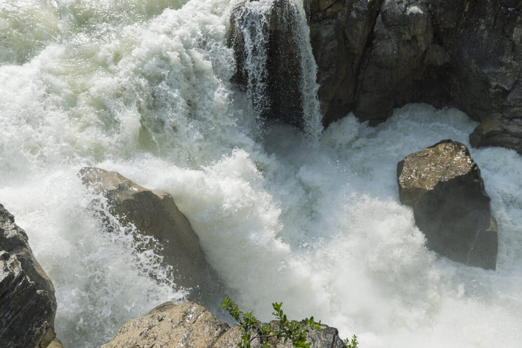
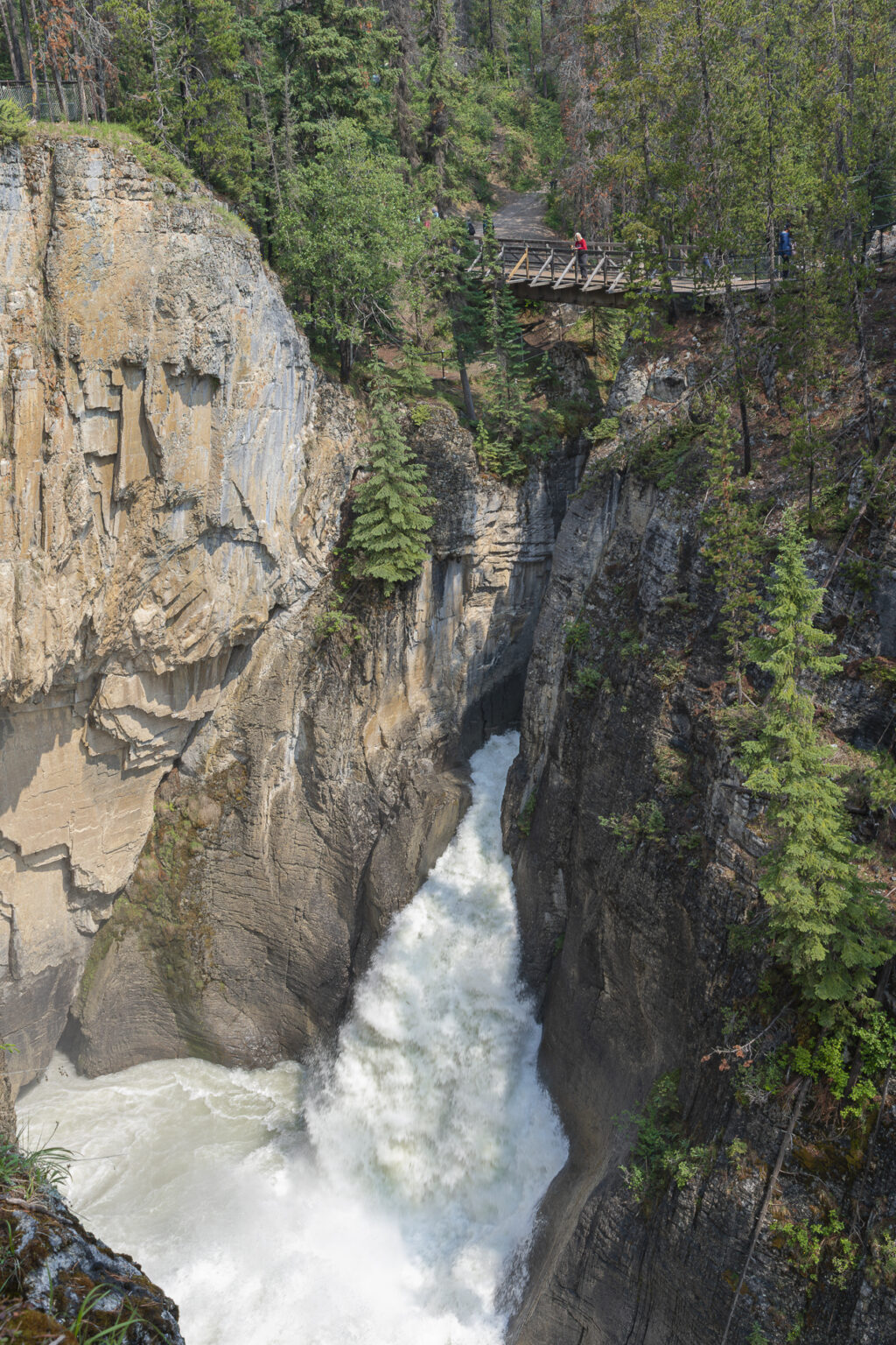
The last three photos for today, were all taken at Sunwapta Falls, 55 km south of Jasper on the Ice Field Parkway. Sunwapta Falls consists of two waterfalls, one above the other. Both carve deep into the limestone to create a forceful torrent of water, falling from 60 feet (18 meters) and 30 feet (9 meters) respectively. Sunwapta is a Stoney language word that means “turbulent water”.
This photograph captures the upper waterfall, where the Athabasca River makes it’s first plunge.This waterfall exudes power. A large volume of water, traveling fast! Very impressive.
We were fortunate at this location to capture views of the falls from many vantage points. Parks Canada has done a great job of locating viewpoints, many of them very close to the torrential flow of water.
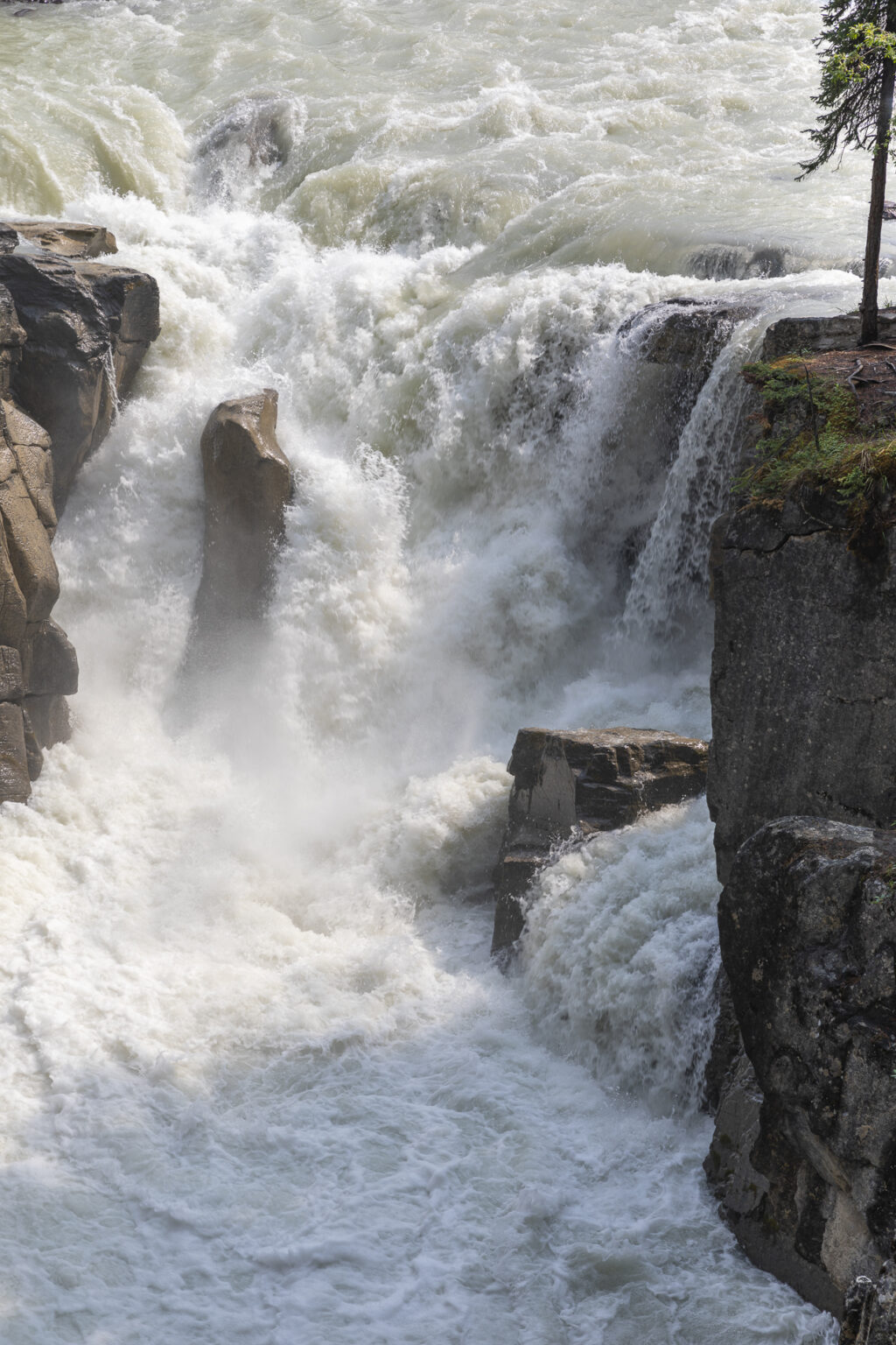
This vantage point is situated where the river makes its first downward plunge. I was able to capture this close-up view.
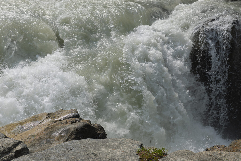
This shot was taken a little further downstream, where the water works around and over rock obstacles in its path.
My final picture for today features the Lower Sunwapta waterfall, photographed from an elevated viewpoint on the opposite side of the river.
I’m pleased with the progress we’ve made in our two visits thus far. I look forward to getting back to complete the last segments(?). Hopefully we’ll get some days with lesser tourist traffic to get back to it.
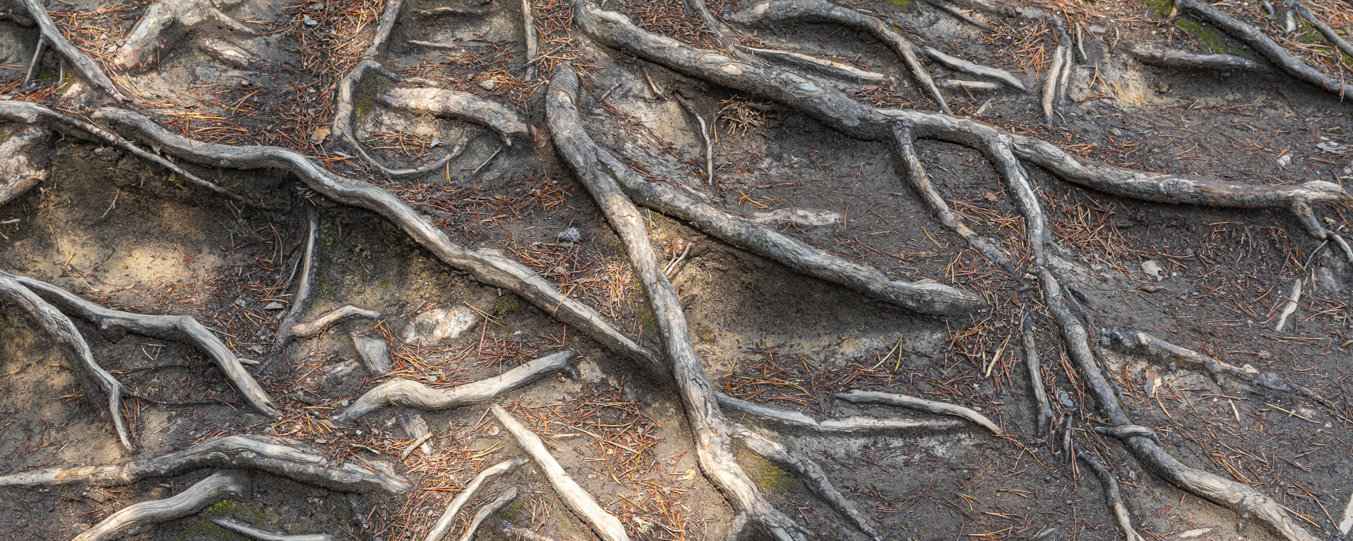
PS The photograph used in the masthead at the top of the blog depicts bared roots, along the pathways at Sunwapta Falls. Watch your step.

