AB 93, The Icefields Parkway
I recently returned from a visit to Jasper, Alberta with several stops en route, along the scenic Icefields Parkway. The occasion for the voyage was a visit from Rolande’s niece, Diane, from Louisiana. Diane was accompanied by three friends, Amy, Cathy and Kelly eager to pursue their planned adventure in the Rockies.

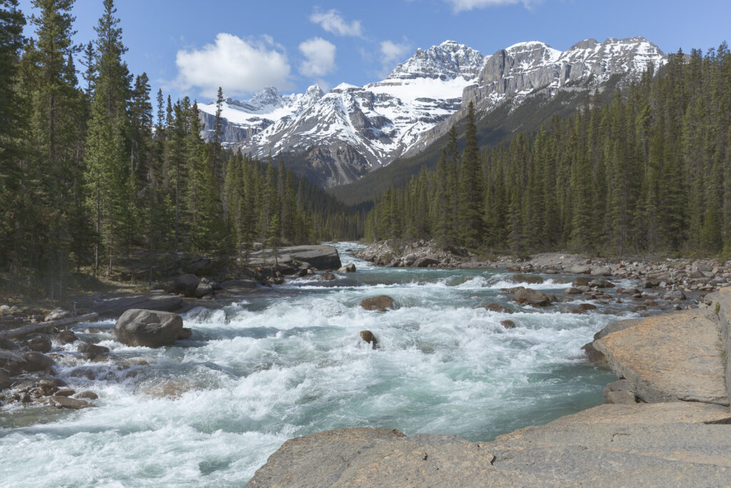
Our first stop was at the Mistaya Canyon, just south of the Saskatchewan River Crossing. It’s a beautiful site to visit with its close-up views of the raging Mistaya River and the Majestic Mount Sarbach in the background. Late spring is a good time to visit the area. The spring run-off is in progress with copious volumes of water from the mountains’ melting snow and glaciers.
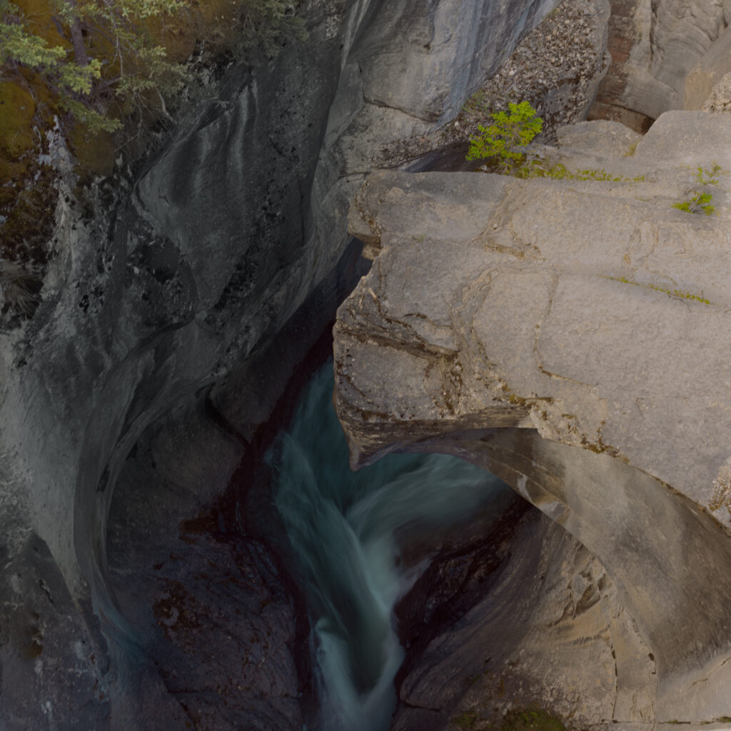
I took the next photograph looking downward from the bridge crossing the river. The canyon deepens and narrows sharply as it passes beneath the bridge, creating a torrent of water as it squeezes through the passage. I was able to get a good view of the aqua-coloured water far below and capture a photograph of the intriguing flow pattern.
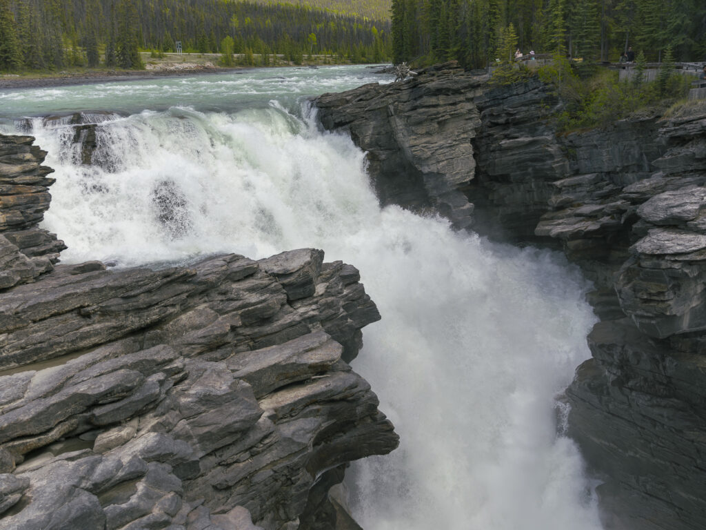
We moved on to our next stop, the Athabasca Falls, where I took this picture of the Athabasca River as it plunged 24 m (79 ft) to the bottom of the gorge below. The average flow rate is 113 m3/s (4,000 cu ft/s). I believe the flow rate at this time of year far exceeds the average. The power released by the falls is palpable as it tumbles over the rocks in its plummet to the bottom.
Our stop at the Athabasca Falls was our last for the day. We spent the night in Jasper, rising early to continue on to our next destination, the celebrated Spirit Island near the bottom end of Maligne Lake. Spirit Island is only accessible via canoe, kayak, or boat tour. As it’s a 14 km paddle to the island with sometimes strong winds, most people opt for the boat tour. If you are an experienced paddler, you can rent a canoe.
Together, Maligne Lake and Spirit Island are one of Canada’s most photographed spots! Their beauty has made the pair iconic symbols of Jasper National Park and the Canadian Rockies. Over one million people visit annually to see these breathtaking places!
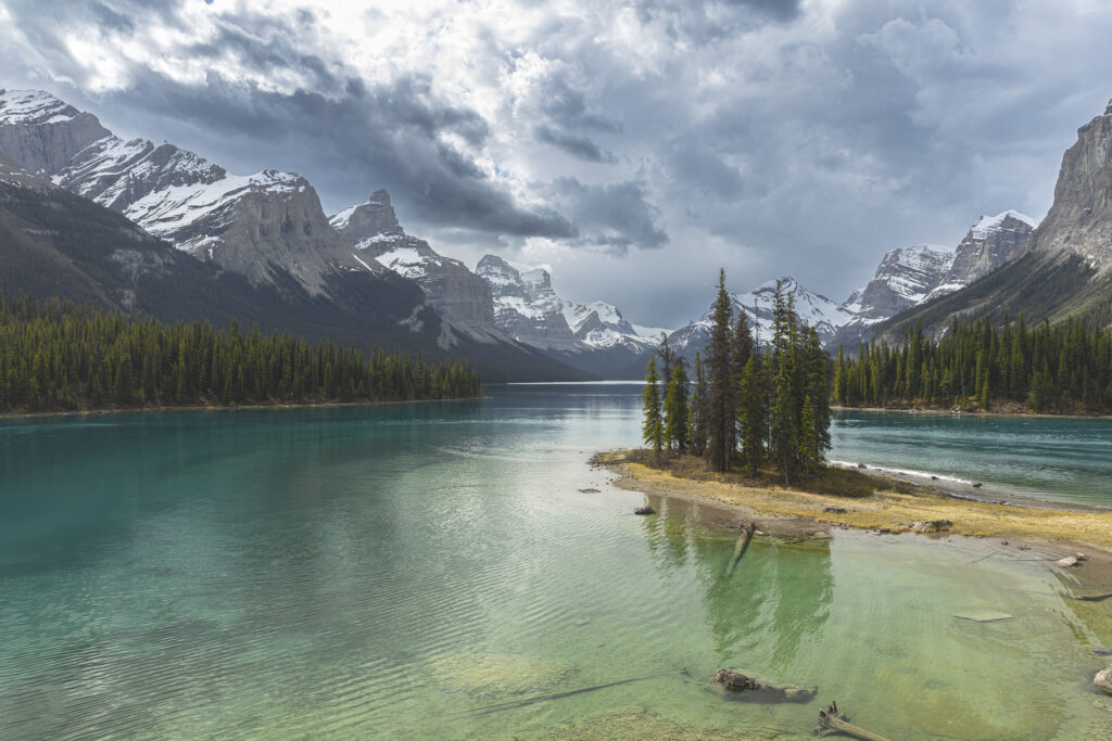
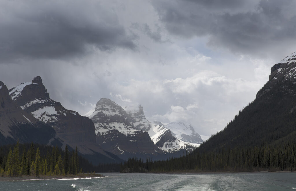
As our boat returned us to our point of departure at the head of Maligne Lake, I took this photograph looking back at the majestic scene at the lake’s bottom end.
We stopped at Jasper on the way back to Canmore, taking on fuel for the car and for the hungry travellers.
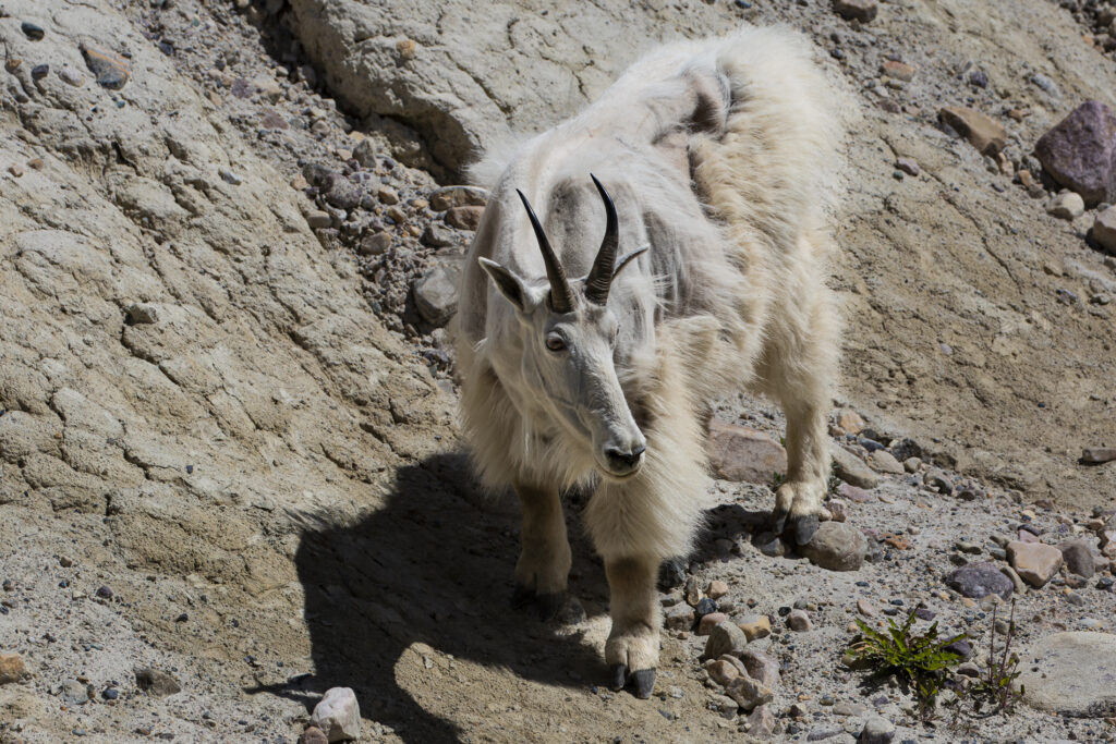
Soon afterward, we encountered a mountain goat along the roadside, consuming salt to help maintain proper electrolyte balance, facilitating essential bodily functions and supporting overall physiological health. Salt intake influences water consumption and helps goats maintain proper hydration levels, especially during hot weather or lactation.
At this time of year, mountain goats don’t look their best. Every spring the mountain goat sheds this coat, leaving tufts of hair strewn along the cliffs and rocky ledges it inhabits. By July, most have completely shed their old coat and have grown a new one in preparation for winter.
Our last stop was the Athabasca Glacier, one of the six principal ‘toes’ of the Columbia Icefield, located in the Canadian Rockies. The glacier currently loses depth at a rate of about 5 metres per year and has receded more than 1.5 km and lost over half of its volume in the past 125 years. It is 6 km (3.7 mi) in length and covers an area of 6 km2 (2.32 mi2). It varies from 90 to 300 metres (295 to 985 ft) thick.
Note the size of the Ice Explorer buses and the people standing near them. Look on the bottom left side of the photo at the base of cliff.

At this point in our journey we were ready to head for home. Perhaps a little tired but enjoying the satisfaction of a journey well planned and enjoyed.
