Today I’m jumping ahead in the sequence of our travel stops to publish a special post about a very special place, Machu Picchu. It is located in southern Peru, 80 kilometers northwest of Cusco, on the crest of the mountain Machu Picchu, located about 2,450 metres (8,040 ft) above mean sea level. It is one of the most important archaeological sites in South America and the most visited tourist attraction in Peru. Machu Picchu was built around 1450, at the height of the Inca Empire. It was abandoned just over 100 years later, in 1572, as a belated result of the Spanish conquest. It is possible that many of its inhabitants died from smallpox, introduced by travelers before the Spanish conquistadores arrived in the area.
Although the citadel is located only about 80 kilometers (50 miles) from Cusco, the Inca capital, the Spanish never found it and consequently did not plunder or destroy it, as they did many other sites. Over the centuries, the surrounding jungle grew over much of the site, and few outsiders knew of its existence.
On 24 July 1911, Hiram Bingham announced the find of Machu Picchu to scholars. An American historian employed as a lecturer at Yale University, Bingham had been searching for the city of Vilcabamba, the last Inca refuge during the Spanish conquest. He had worked for years in previous trips and explorations around the zone. Pablito Alvarez, a local 11 year-old Quechuas boy, led Bingham up to Machu Picchu.
In addition to its historical significance, Machu Picchu is a showpiece of the Incas’ architectural excellence. Combined with the scenery surrounding the ruins, Machu Picchu is a stunning photographic site. I did not get to photograph a sunrise scene and in fact, the cloud and fog made it difficult at times to even see the area. I did get a number of pleasing shots and I think the fog adds a sense of the supernatural to the images. Hope you enjoy them.
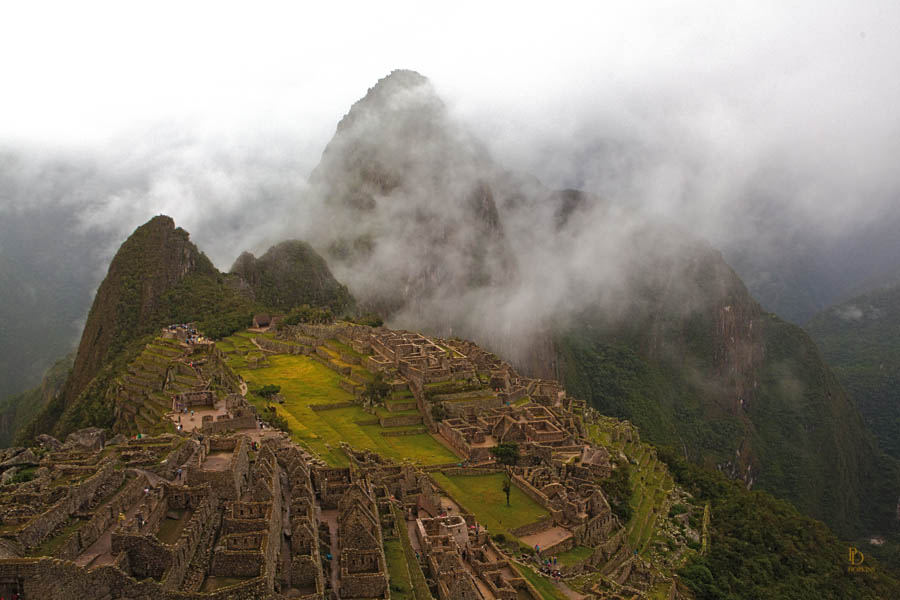
This first photo was taken from above the site on our first day’s visit. It includes one of our few sightings of Huayna Picchu, the iconic mountain backdrop to the ruins.
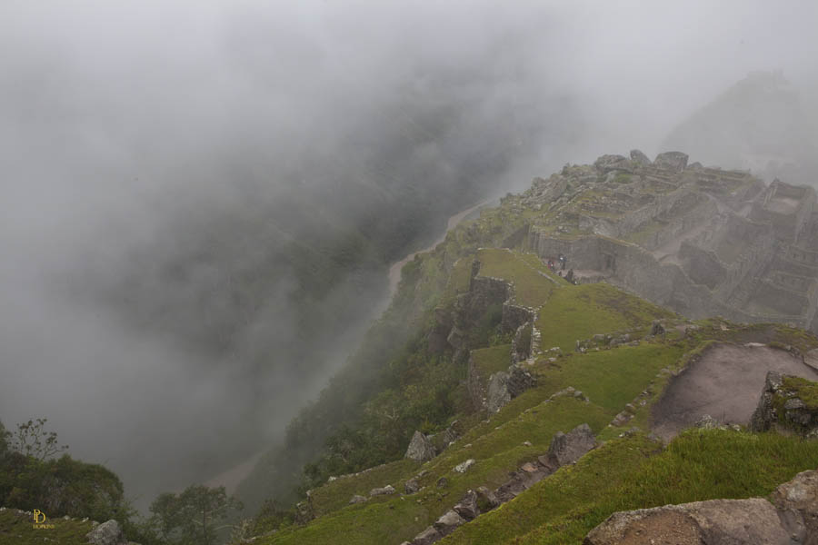
Despite the heavy fog on the second day’s visit, you can see the Urubamba River at the bottom of the cliff below the ruins. This second picture was taken from a location close to where the previous shot was taken on the first day.
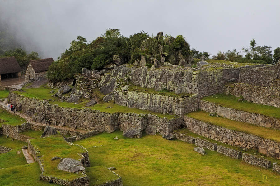
I was able to get below the cloud level and to capture a number of clear shots including this third one, above. The following shot was taken from an even lower level, showing this same area from the opposite side. You can see a number of terraces which were used for agricultural purposes.
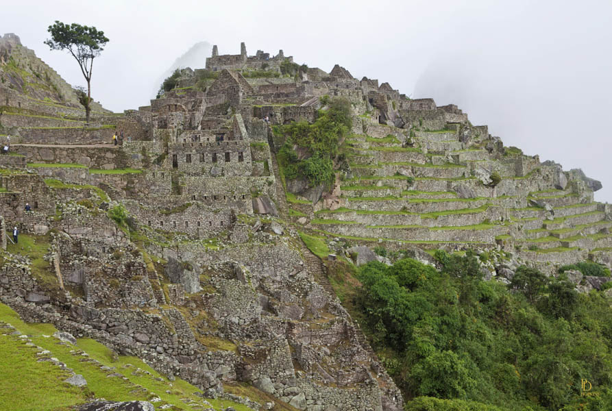
Looking in the opposite direction from a higher location, I took the following shot which shows extensive terraces used for agriculture, with some residential construction to the right. At the very top of the hill above the terraces, you can see the watch house.

My final shot for this post is not one of the ruins. It’s an effort to capture the spectacular scenery across the valley, visible from the ruins. It’s not a clear picture due to the fog and clouds but it is an interesting image and shows you the weather that can be expected at this time of the year.
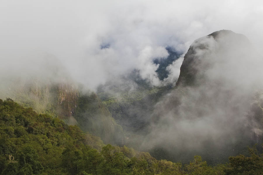
The area is very mountainous but the bottom of the valley is jungle. Machu Picchu is just 13 degrees south of the equator and so climatic conditions at lower elevations can support a tropical jungle. Machu Picchu is actually located in the transition between the Andes Mountains and the Amazon Jungle.

That made wonderful reading thank you Peter apart from the lovely photos.I love history and found that absolutely fascinating.
A very spiritual place indeed …. the Inca’s were fabulous engineers and and even better agriculturalists!!