Taquile is an island on the Peruvian side of Lake Titicaca 45 km offshore from the city of Puno. About 1,700 people live on the island, which is 5.5 by 1.6 km in size (maximum measurements), with an area of 5.72 km². The highest point of the island is 4050 meters above sea level and the main village is at 3950 m.
The inhabitants, known as Taquileños, are southern Quechua speakers. Taquile, whose Quechua name some believe was Intika, was part of the Inca Empire and has a number of Inca ruins. Taquileños run their society based on community collectivism and on the Inca moral code ama sua, ama llulla, ama qhilla, (Quechua for “do not steal, do not lie, do not be lazy”). The island is divided into six sectors or suyus for crop rotation purposes. The economy is based on fishing, terraced farming horticulture based on potato cultivation, and tourist-generated income from the approximately 40,000 tourists who visit each year.
The island is very scenic, as you will see from today’s photos.
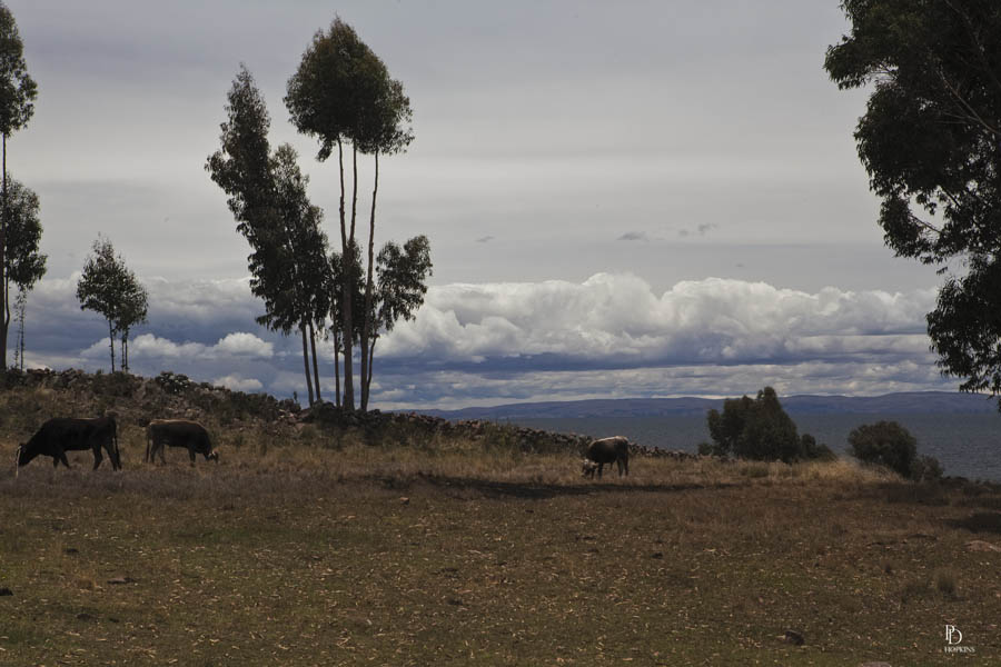
At 13, 284 ft above sea level, these cows must be well adapted to the oxygen lean atmosphere. Certainly more so than we tourists, labouring up the steps to the town square.
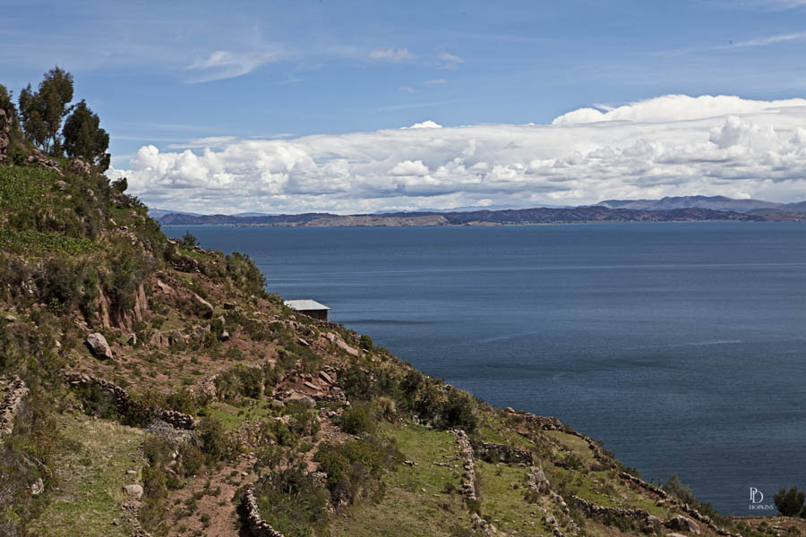
Again, beautiful blue skies and towering cumulus clouds.
I noticed that stone arch construction is very popular. You see them everywhere. The do not serve any apparent purpose other than decorative.
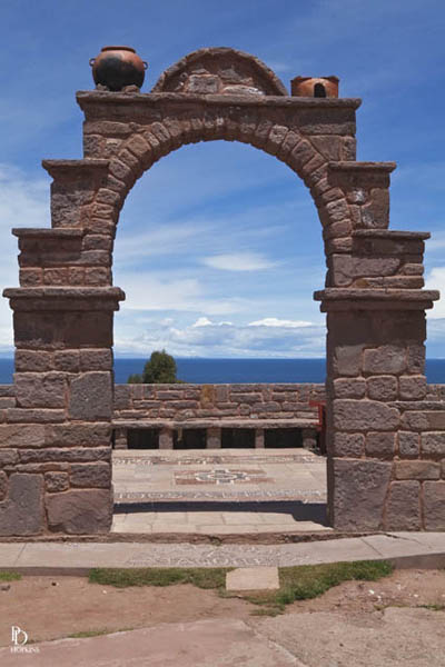
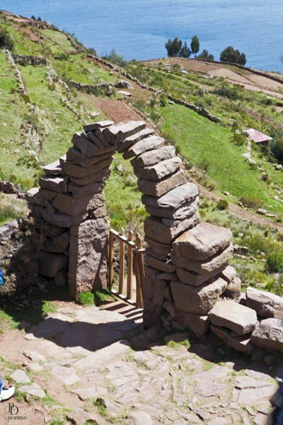
The arch pictured to the left is located on the town square at the top of the island. It serves as a decorative entranceway to a terrace overlooking the lake below. I thought it made a nice scene with the sky and clouds visible through the opening.
The arch to the right was located at the entrance to a pathway branching off the path we followed down to the lake where our boat awaited us. It may serve as a gate at the entry to properties off to the left.
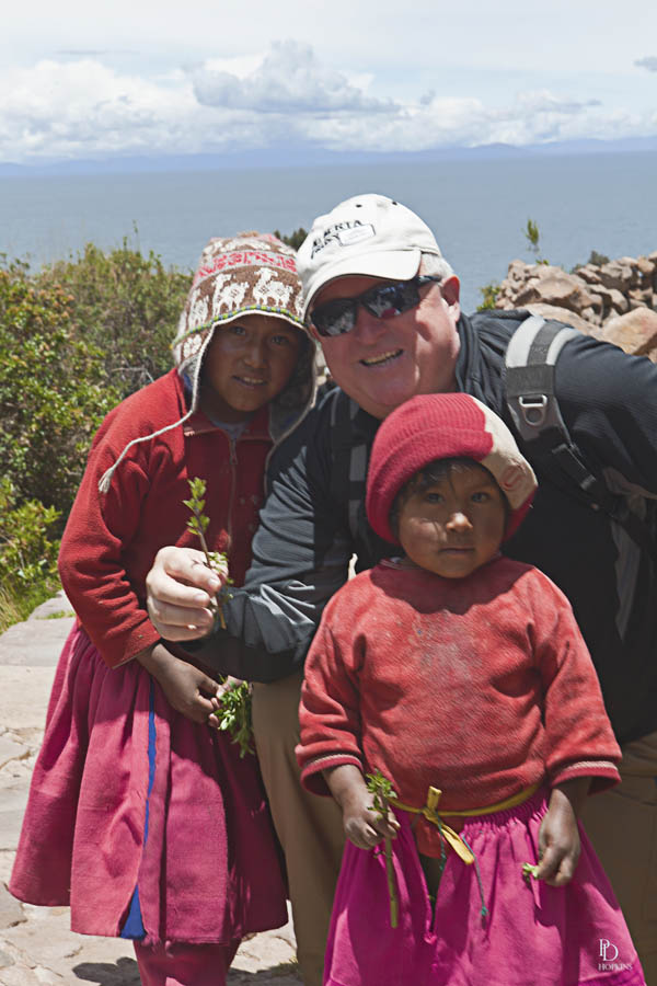
One of our traveling companions completing a deal for the purchase of some herbs from some enterprising, young residents of the island.
