The other venue we visited while in Moab, Utah was the Canyonlands National Park.
Canyonlands is located within a geologic region called the Colorado Plateau. It is a great section of continental crust that has endured millions of years of rock building and erosion. The park is divided into 3 principal sections, Island in the Sky, the Maze and the Needles.

Advancing and retreating oceans left thick deposits of beach sands and marine limestones. Great river systems moved tons of sediment from ancient eroding mountain ranges such as the Ancestral Rockies (forerunners of today’s Rocky Mountains) and deposited that sediment in low-lying areas. Buried sediment became solid rock as pressure from overlying layers and filtering water cemented them.
After millions of years of predominantly rock-building processes, the erosion that continues today began. Roughly 10 million years ago, plates in the Earth’s crust moved in such a way that the western edge of the continent began to rise. The slowly rising land mass, including the Colorado Plateau, became higher and therefore more susceptible to erosion Newly elevated highlands captured rain and snowfall and gave birth to the Colorado River system. The uplifting land caused rivers to down-cut more rapidly, entrenching themselves in solid rock. The results are the 2,000 foot deep canyons of the Colorado and Green Rivers cutting through the heart of Canyonlands.
These canyons provide a scenic beauty, irresistible to photographers and sightseers. The area is also very popular with outdoor enthusiasts. Kayaking and rafting the Colorado River and cycling the numerous canyons are among the favourite pursuits. For movie enthusiasts, the 2010 film “127 Hours”, starring James Franco was filmed at Canyonlands.
Enough narrative, here are a few pictures.

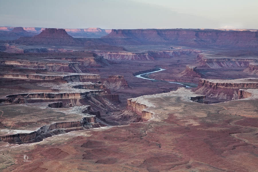
Taken just after sunrise from the Green River Overview, this photo shows the Island in the Sky section of the park. Closest to the mesa’s edge is the White Rim, a nearly continuous sandstone bench 1,200 feet below the Island, my vantage point for this picture. You can also see the Green River, flowing southward to where it joins the Colorado River.

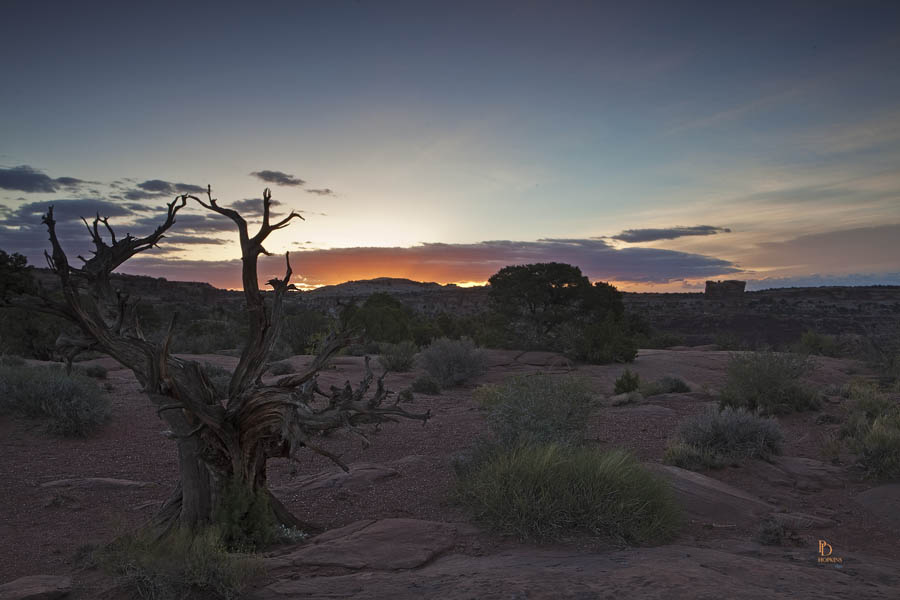
This picture was also taken from the Green River Overview, but looking eastward toward the LaSal Mountains at the time the sun was just cresting the horizon. That’s a deceased Utah Juniper in the foreground.

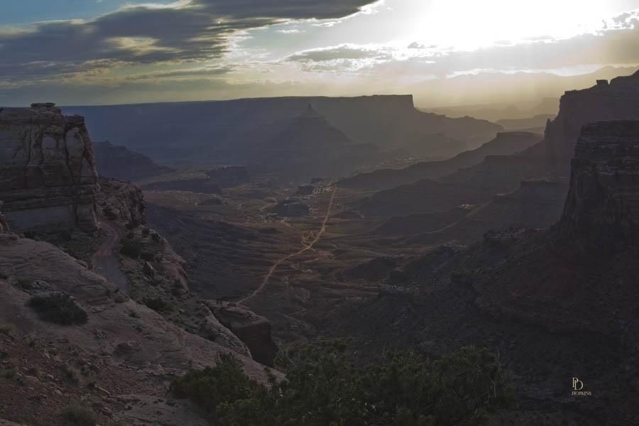
The last photo for today, an early morning shot looking eastward along Shafer Canyon. Again, you can see the LaSal Mountains, silhouetted against the sky in the distance.
My first visit to Canyonlands was a memorable one and one that I hope to repeat before too long. There was simply too much to see and absorb in a short visit, I must return!
