For my birthday this year, Rolande gave me a gift card for a helicopter trip. This particular trip is called the “Mount Assiniboine Glacier Tour” and today, accompanied by friend Paul Murphy, I flew with Alpine Helicopters to see the backcountry south of Canmore. I have visited parts of this country at ground level but it was a unique treat to see it from the air. The weather was perfect and the light at 9:00 am was very good for photography.
My first picture was taken soon after our take-off, a view westward down the Bow Valley.
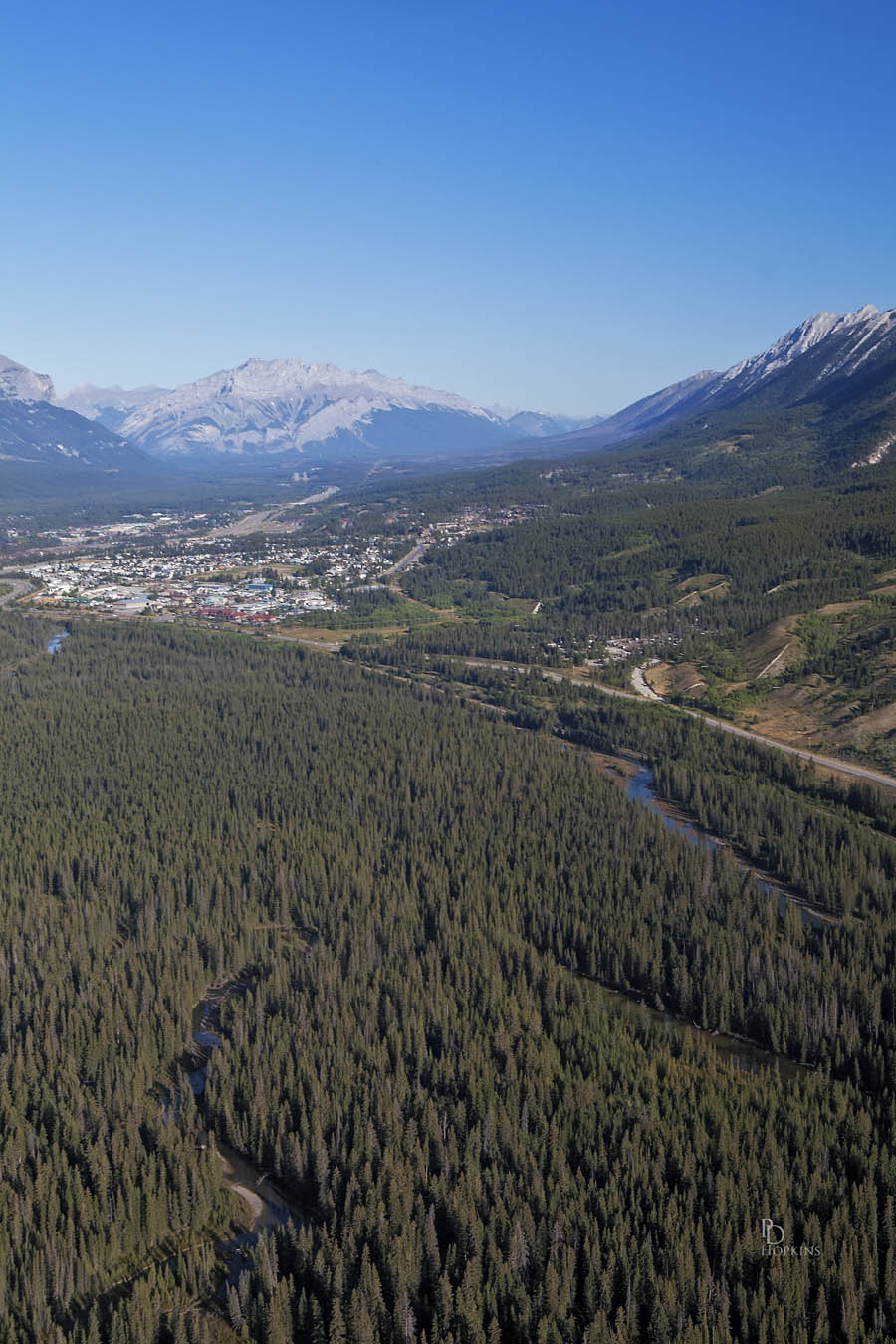
- View Down the Bow Valley
That’s Cascade Mountain at Banff in the distance and the north side of Canmore in the centre of the photograph.
We quickly ascended to an altitude of 10,000 ft. (3,048 m) passing through the Three Sisters Pass to exit the Bow Valley . We crossed the Spray Valley and the Goat Range, crossing into Banff National Park on our way to our destination, Mount Assiniboine. This next picture shows this very prominent peak as we approached it from the east. Mount Assiniboine is one of the highest peaks in the area at 11,870 ft (3,618 m) and is visible from several distant locations. I have seen it from Sunshine Village Ski Resort near Banff, from Panorama Resort near Invermere B.C. and recently I saw it in the course of my hike to Helen Lake. It is also very picturesque as I hope you will agree.
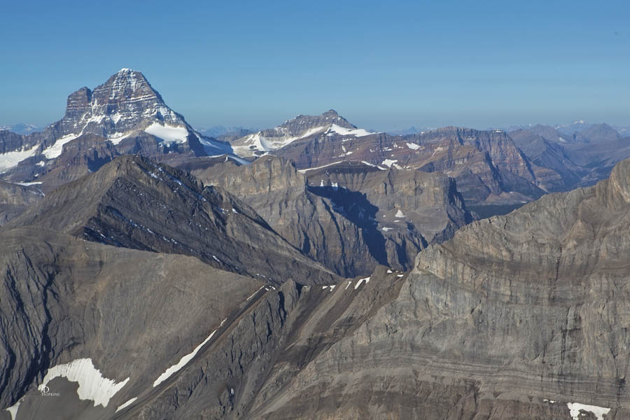
- Approach to Mount Assiniboine
I got the following shots of Mount Assiniboine and the Assiniboine Glacier, each progressively closer. The chopper was able to get very close to this and other peaks we flew past, enabling me to get some very interesting close-ups. Quite a change from seeing them from a distance!
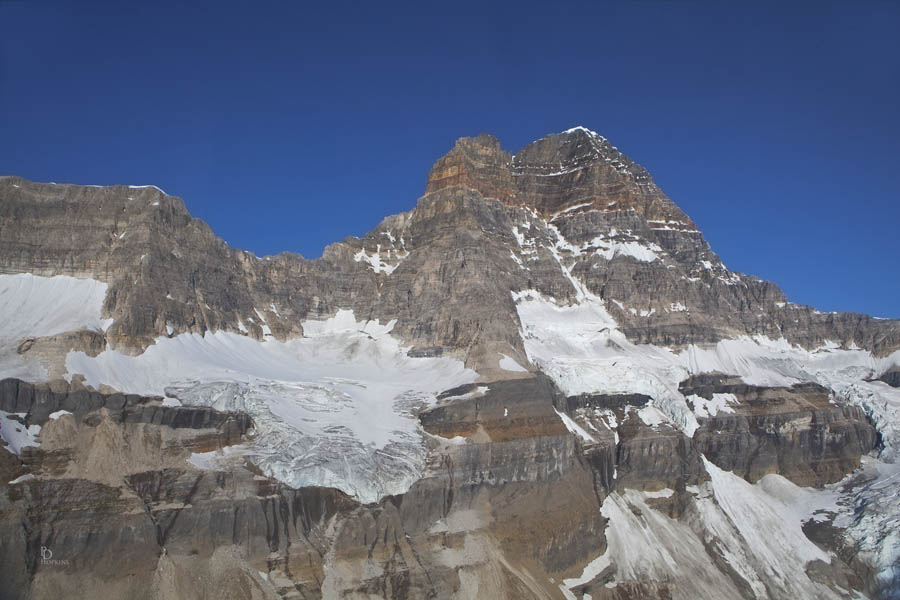
- Assiniboine Glacier
We’re still back far enough to get a good view of the Assiniboine Glacier, set against the backdrop of the mountain. From here we moved in to get quite close-up and personal. Following are two close-ups of the glacier.
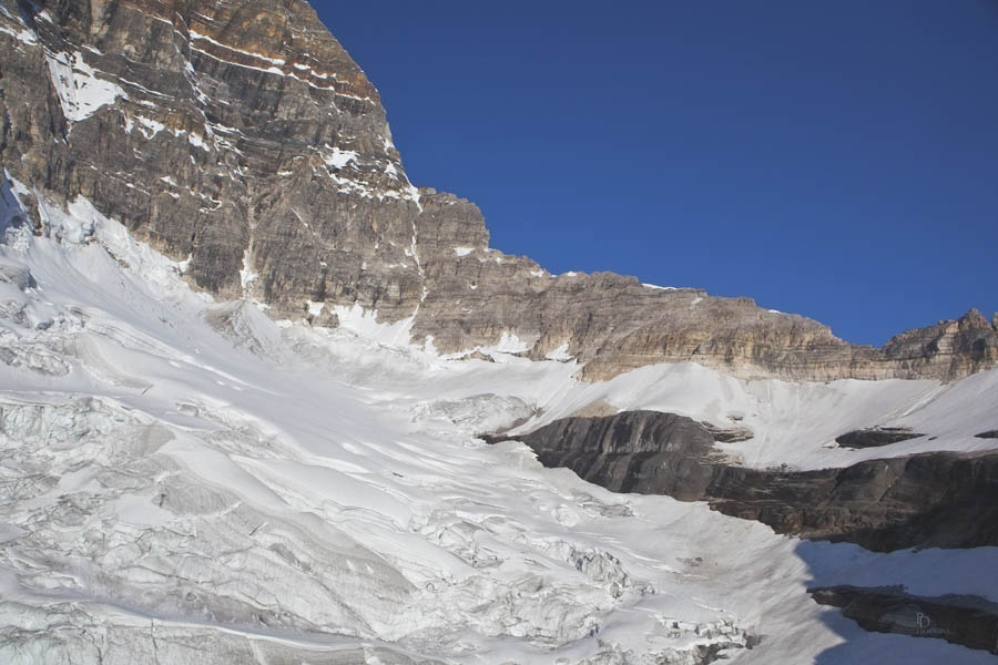
- Glacier Close-up
In this photograph, you can see the glacier nestled in one of the bowls below the summit of the mountain. Still not close enough?
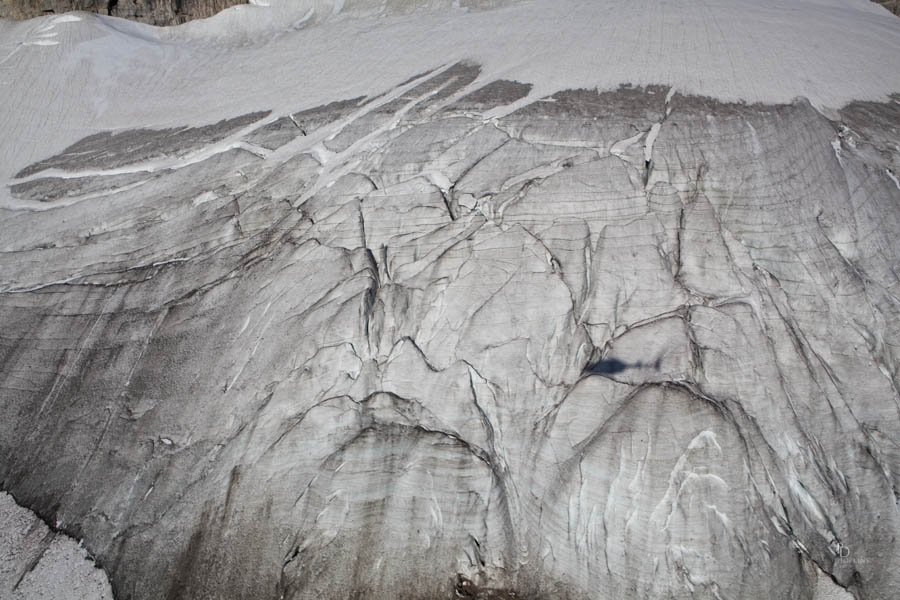
- Glacier Ice
At this point, we had moved in very close. In this picture, you can see the ice that forms the glacier itself, a little grungy without snow cover and having been exposed to warmer, summer air. At the top of the picture, you see remnants of a recent snowfall that has by this time partly melted away. Still pretty warm here, even at this altitude.
We left the immediate area via Assiniboine Pass, over the Continental Divide and into British Columbia. Our pilot flew back toward Canmore, passing west of Mount Turner and south of Mount Nestor. I pictured both of these mountains in a blog from earlier this summer, entitled “Good Light” , posted on July 2nd. The next picture is a close-up of Mount Nestor as we flew past..
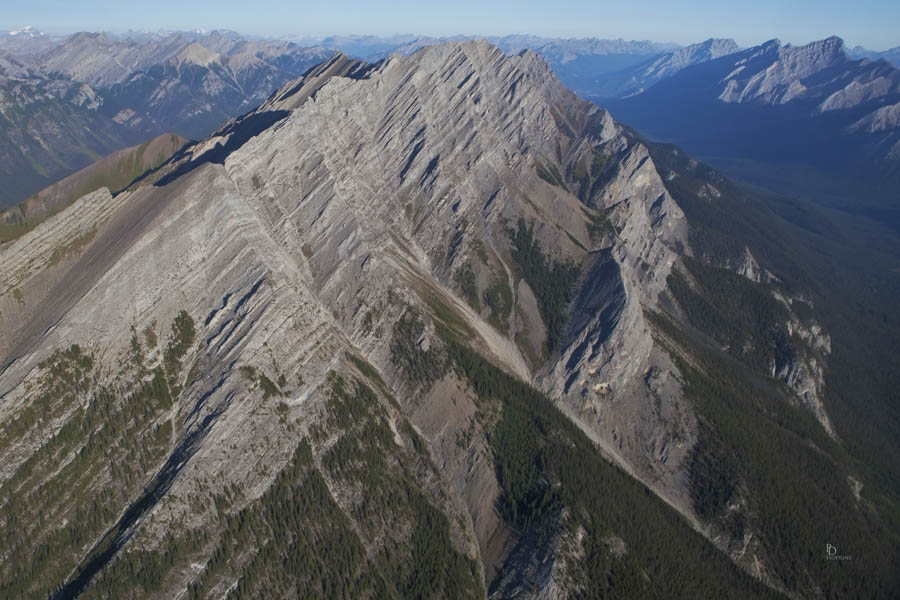
- Mount Nestor
Along the way, I spotted and photographed this very picturesque mountain and valley. Regrettably, I didn’t get its name and so it shall remain nameless. Sorry about that, hope you enjoy the picture anyway.

- Nice Looking Mountain Range
We re-entered the Bow Valley close to home, flying just east of the Three Sisters. We passed very close to the Middle Sister and I’ve included this picture which shows us emerging from behind it. You can see the Fairholme Range on the other side of the valley and a little bit of Canmore.
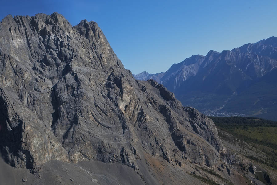
A great adventure I hope to repeat, likely in another season. Fresh snow would be nice.
Many thanks to Rolande for such an enjoyable experience.
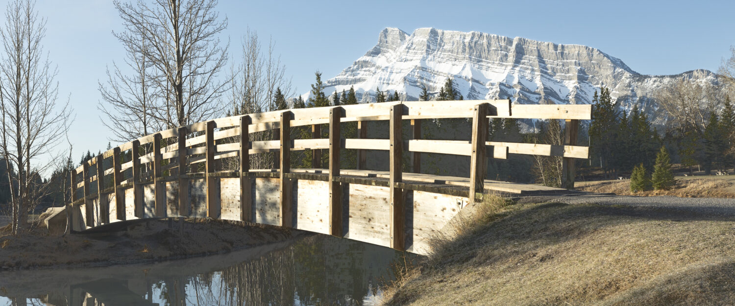
The photos as usual Peter are amazing with a capital A. How good of Rolande to give you such a wonderul gift. Still waiting for some Grandchild photos.