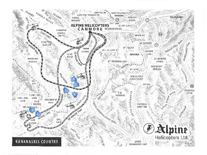
Last summer, I took a helicopter trip from Canmore into the backcountry to Mount Assiniboine and back again. I got some very good summertime pictures, but I knew I would want to return in winter. I did so today, accompanied by friend and photographer, Howie Dingle. We were blessed with an outstanding day, clear and sunny, moderate temperatures and winds. We left Canmore at 10:00 am for our 30 minute Mount Assiniboine circuit. Following is a map showing the route we followed and I have indicated the locations where today’s photos were taken. The locations are numbered in the order in which the pictures appear in this post.
Mount Assiniboine is 34 km (21 mi) southwest of Canmore and about the same distance due south of Banff. The area is accessible by helicopter or on foot. Many tourists visit the area to stay at the nearby Mount Assiniboine Lodge, a very popular destination for hikers and outdoor enthusiasts. At 3,618 m (11,870 ft), Mount Assiniboine is the highest peak in the Southern Continental Ranges of the Canadian Rockies and the 6th highest peak in Canada. Due to Assiniboine’s pyramidal shape, it has been unofficially named the “Matterhorn” of North America. On a clear day it is visible from a great distance. I have been surprised to see it from many different locations in Alberta and nearby British Columbia. Mt. Assiniboine straddles the continental divide, the border between British Columbia and Alberta.
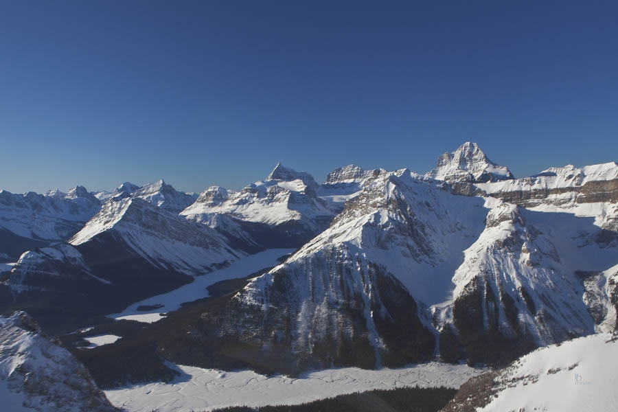
This first photo was taken on our approach to the Mount Assiniboine area as we crested the Sundance Range, a distance of about 13 km (8 mi). At the bottom is Bryant Creek and that is Wonder Peak, just ahead on the opposite side of the creek. Mount Assiniboine is the tallest of the peaks behind Wonder Peak with Aye Mountain and Eon Mountain to its left.
Next is a close-up view of Mount Assiniboine.
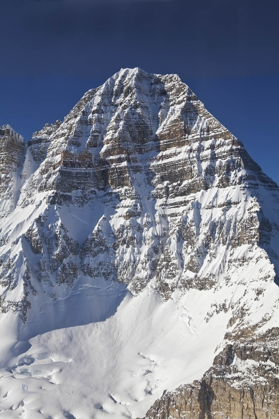
At this point, were flying at an altitude of 2,818 m,(9,300 ft.), 787 m (2,600 ft) below Assiniboine’s summit. You can also see the upper levels of the Assiniboine Glacier, blanketed in fresh snow. It did’t look so pristine when I saw it last summer!
We circled Mount Assiniboine and as we passed by on the north side, I got this next shot downward toward its base.
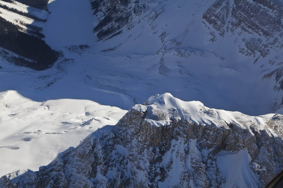
That’s the west end of Gloria Lake in the bottom left hand corner of the picture. After doing a loop in front of the mountain for another view, we turned toward home. Re-crossing the Sundance Range, we passed over Cone Mountain. We were flying a little higher to clear its summit at 2,911 m (9,548 ft).
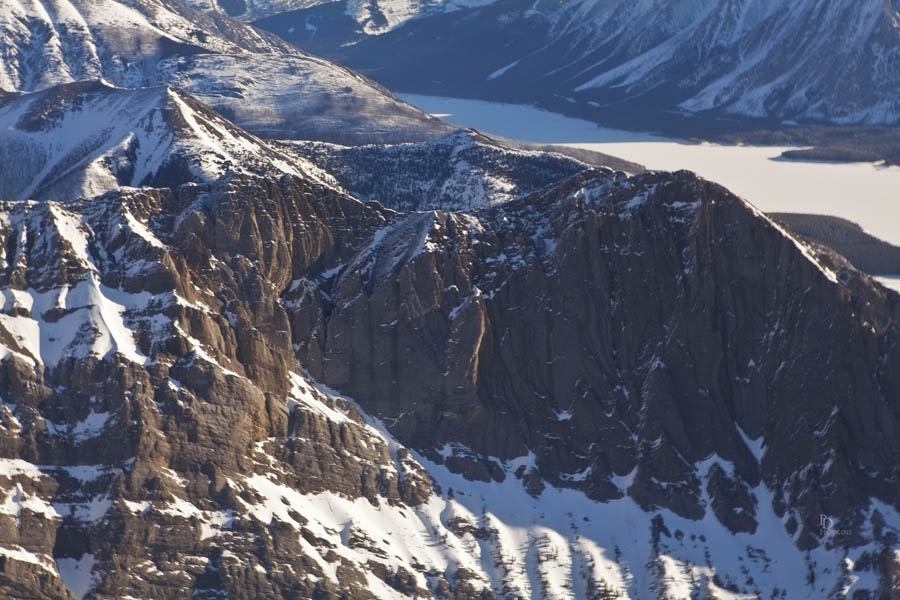
In the background, you can see the corner of Mount Nestor on the left and the Spray Lakes Reservoir in the upper right. I like the colour, the highlights and shadows in this picture. It caught my eye, so here it is!
After turning northward after passing Mount Nestor, we approached the Old Goat Glacier, entering the gap that you see in the next photo.
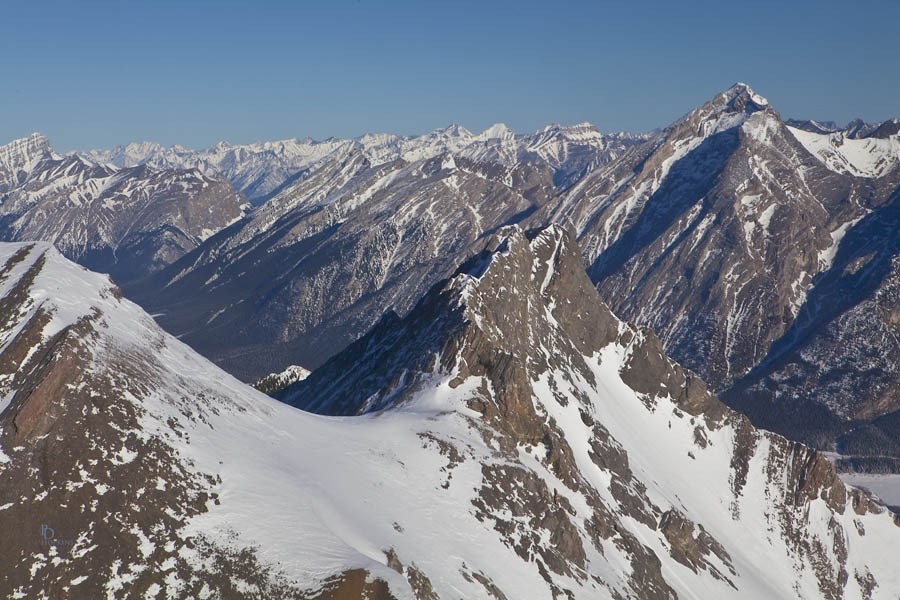
That’s the side of Old Goat Mountain ahead and the Big Sister further on, one of Canmore’s Three Sisters. Looks quite different from the back! As we passed through the gap, I had one of those “Oh wow!” moments as the Old Goat Glacier came into view. The following picture gives you an idea, but to see it is a breathtaking experience.
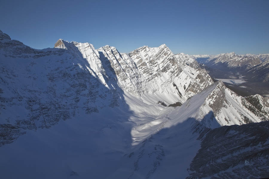
There is a hiking trail leading to the foot of the glacier, about 13 km (8 mi) from Canmore. From there it’s another 4.1 km (2.5 mi) hike up to the glacier. Something for next summer’s “to do” list.
I have many more great shots from today’s adventure. Far too many for any one post. I’ve chosen a few of the more interesting for today’s post; I’ll endeavour to squeeze in a few more in future blogs.

Beautiful, Pete. The Mt Assiniboine shot is particularly striking!!
Thanks, John. The photo really doesn’t do it justice. Hard to imagine how majestic it is. Another trip for your bucket list!