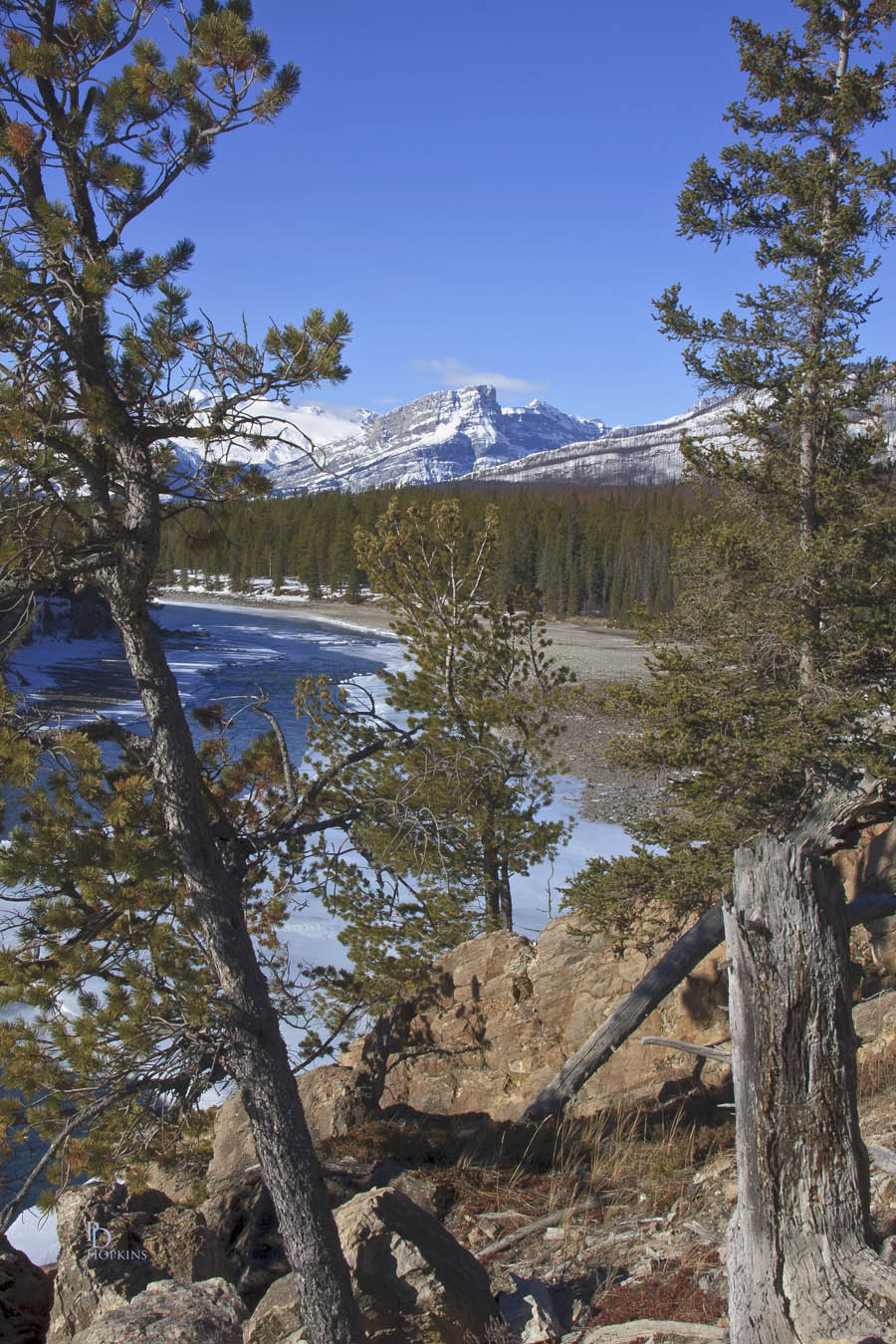
On our recent trip up the Icefields Parkway, we made a short side trip along the David Thompson Highway, eastward in the direction of Red Deer. Our destination was Whirlpool Point, a scenic lookout over the North Saskatchewan River. For my first picture, I aimed westward along the river. The Mountain in the distance is Survey Peak, nicely framed by two well-positioned pine trees. The river is largely ice-free at this location and there is very little snow on the ground, a stark contrast from the Icefields Parkway, just 20 km (12.5 mi) to the west where snow is abundant. It is not unusual to see this in the Rockies. There can be considerable variation in the distribution of snowfall from one valley to another.

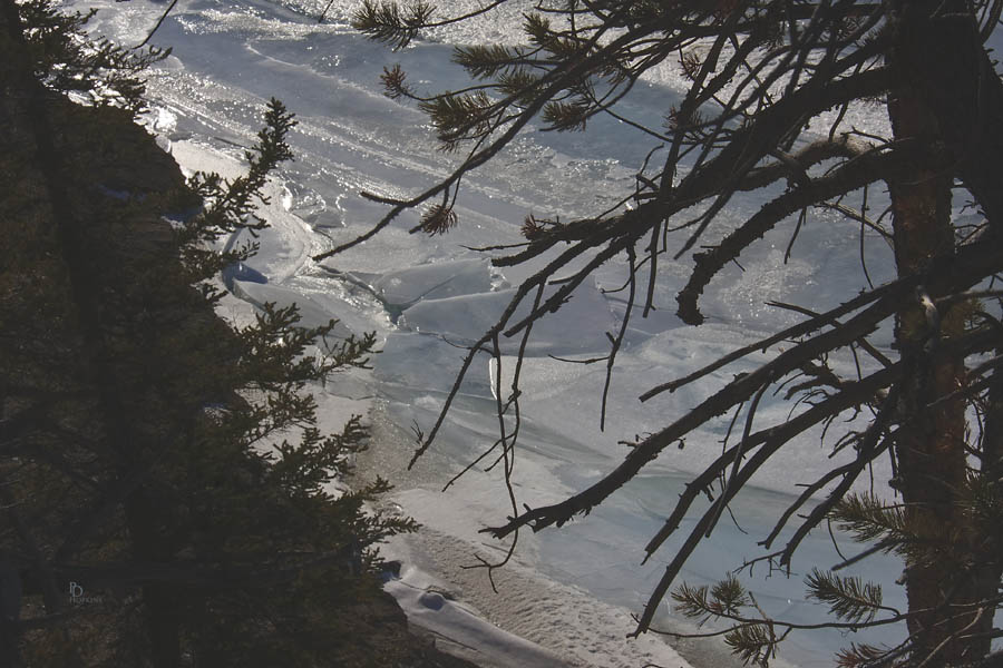
I next turned my attention to the river below. The following shot shows the ice formation just below where I was standing. It was nicely framed by the trees perched on the riverbank and I liked the contrast between the shadows among the trees and the brightly illuminated ice.

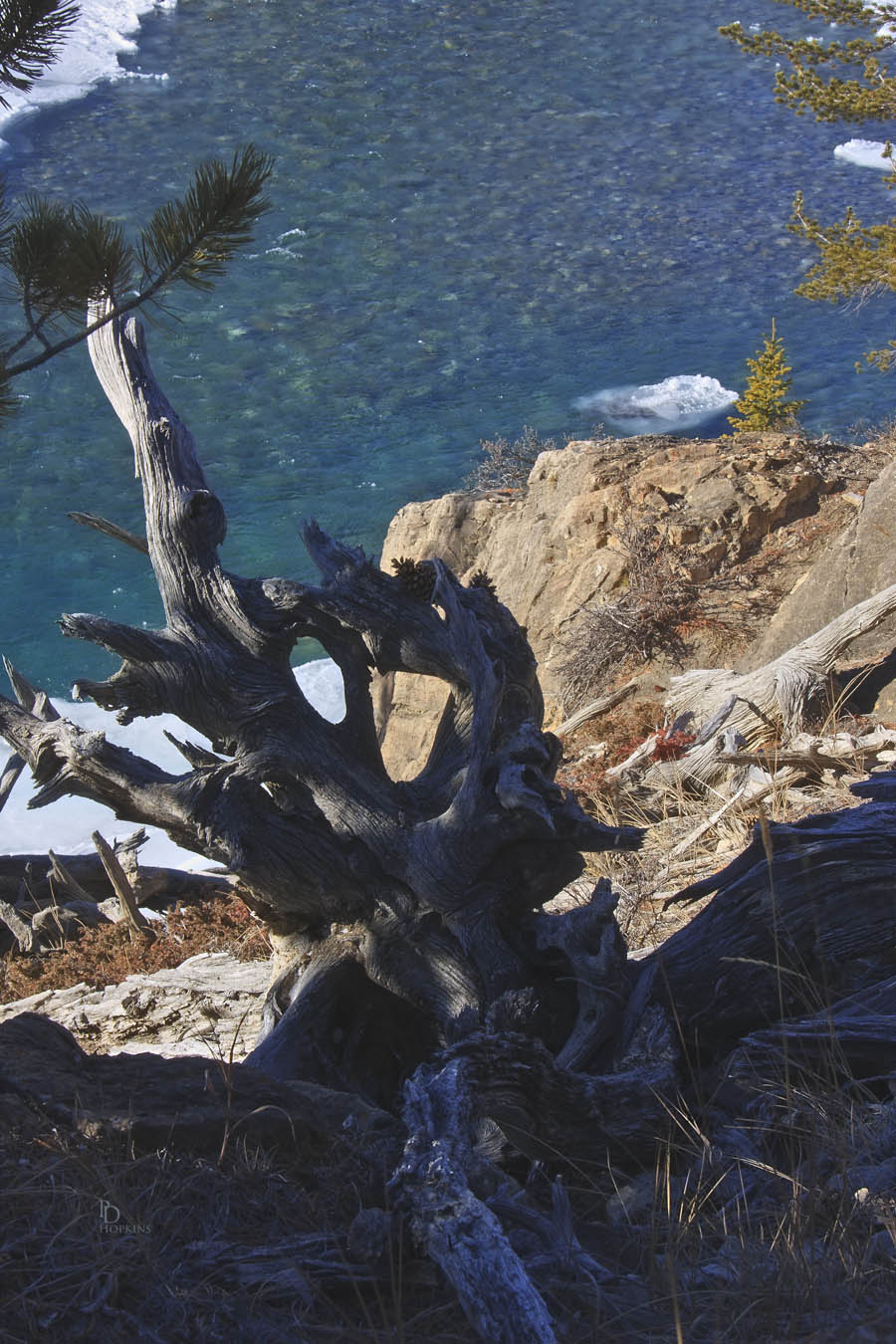
My next photo was also taken downward toward the river, focused on the clear water of the river and the stones on its bottom. Again, I get a little assistance from the surrounding trees and deadfall to frame the scene. I also like the contrast between the highlights and shadows, something that caught my eye and prompted me to take this one.

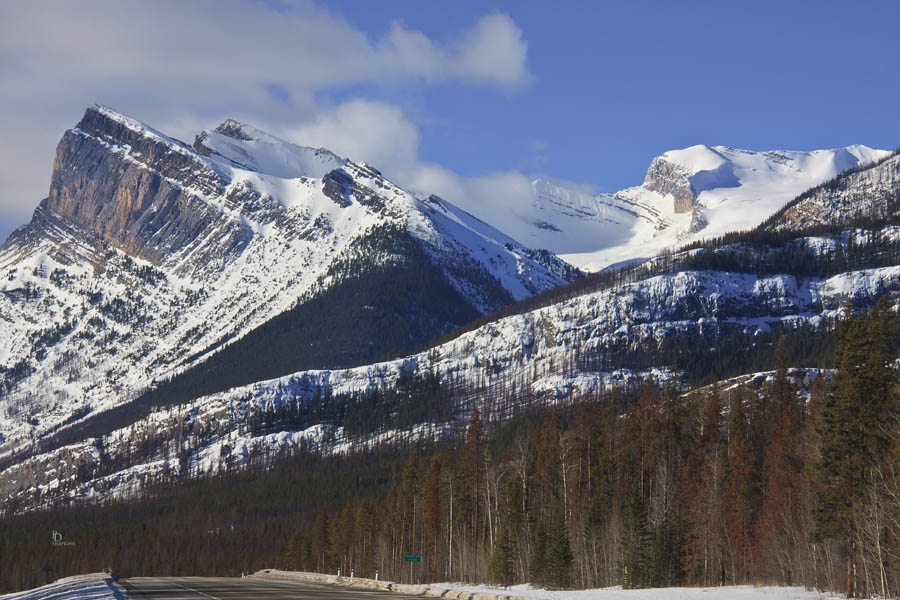
Before leaving the Whirlpool Point area, I took this next shot looking west. It captures Mount Wilson and a part of the Wilson Icefield below its summit.

I had been in this area before, but somehow overlooked this particular location, Whirlpool Point. I look forward to returning in summer; it’s a great location for photography. Thanks to Howie for pointing it out!
