After 80+ days without rain in the Phoenix area, the weather changed and today we had rain, cool temperatures and some thunderstorms. A friend called to alert me to a nice rainbow, knowing that I might like to photograph it. I missed the rainbow but was delighted to see Mammatus cloud formations, something that I had seen in pictures but only witnessed for the first time today.
Mammatus is a meteorological term applied to a cellular pattern of pouches hanging underneath the base of a cloud. They are most often associated with an anvil cloud and also severe thunderstorms. They can extend from the base of a cumulonimbus cloud and are often indicative of a particularly strong storm or even a tornadic storm. Due to the intensely sheared environment in which mammatus form, aviators are strongly cautioned to avoid cumulonimbus with mammatus.
We did not experience particularly violent weather so I was able to enjoy viewing and photographing these unique and eye-catching cloud patterns from our front porch.
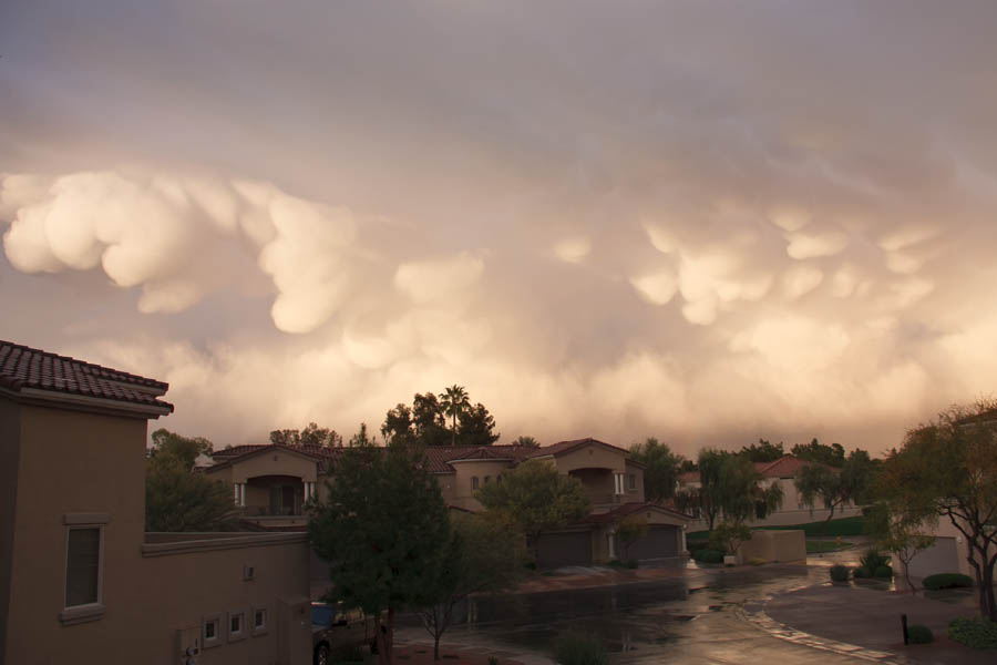
This first shot is a wide angle view showing our street in the foreground and a very unsettled and dramatic sky, dominated by mammatus cloud patterns.

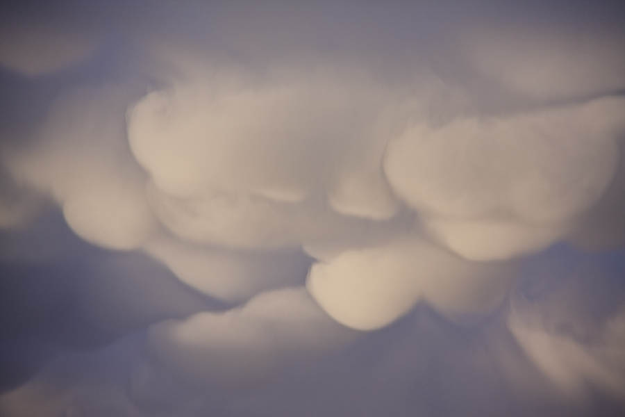
The following three pictures were all framed just above the rooftop level and really show the globular nature of these clouds, hanging below the base of the clouds above. They almost look like soft snowballs or huge cotton swabs.
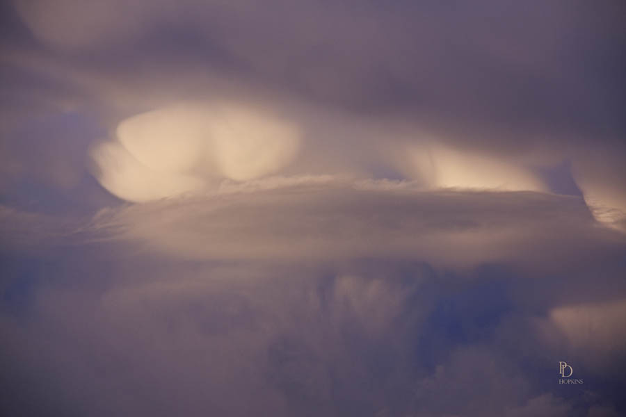
For my last two pictures today, I zoomed in closer in an effort to capture more of the detail of the interesting patterns and light I was seeing.


The entire event only lasted 10-15 minutes, so I consider myself fortunate to have witnessed it. Quite an experience.


These type of clouds sure are neat! Great shots.
Hi Petey,
Your photos are amazing! have never witnessed Mammatus Clouds!
Thanks for sharing this meteorological phenomenon!
Nancy