Earlier this week I left on a road trip. My ultimate destination was Waterton Lakes National Park, situated in southern Alberta, on the international border. This park is adjacent to Glacier National Park in northern Montana and together they are referred to as the Waterton-Glacier International Peace Park.
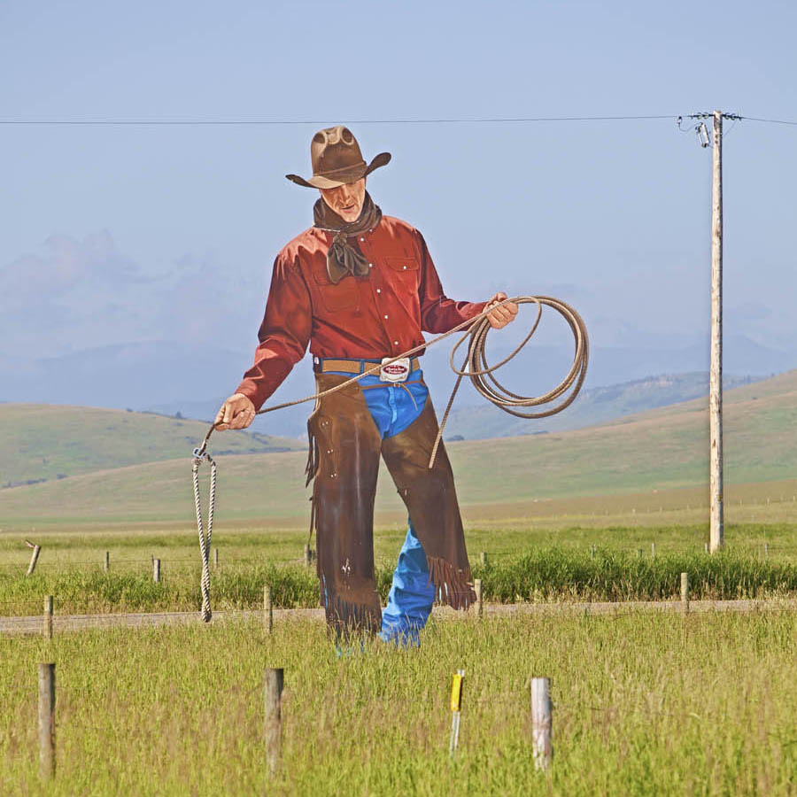
Since this was a photographic road trip, I chose my route to allow me picture opportunities while in transit. I managed to turn a four-hour journey into nine hours before arriving in Waterton. My choice was Highway 22, aka The Cowboy Trail, an excellent secondary road along the eastern slopes of the Rocky Mountains. This is ranching country, populated by ranchers and of course, lots of cattle. It is beautiful, verdant countryside with a stunning mountain backdrop. Today’s pictures are from my travels through this area, beginning with a feature photo, the figure of a cowboy located at the entry to the Bar-U Ranch, a national historic site.

Following is a slideshow containing a number of images I captured as I made my along The Cowboy Trail. Click on the right side to advance; on the left to reverse.
At the southern end of The Cowboy Trail is the Town of Pincher Creek, a farming community that has now become well known for its extensive wind farms.
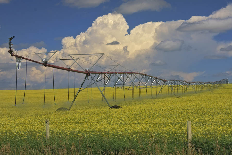
One image that always catches the eye is the bright yellow fields of canola, whose plants are now in full flower. My picture includes an impressive irrigation system that I spotted just as I approached Pincher Creek.

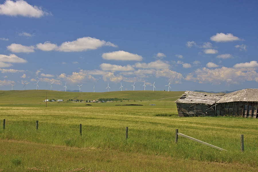
My last picture for today shows a procession of windmills across a ridge to the west of Pincher Creek. This area is a prime location for wind farms because of the prevalent winds needed to make them viable. Their appearance in a natural landscape is not appreciated by some. I think it makes an interesting scene.


