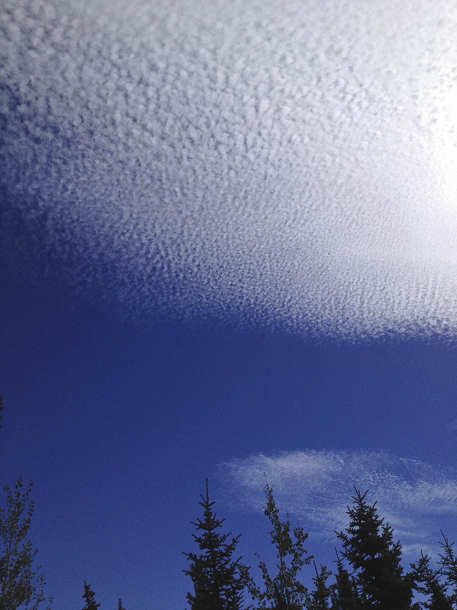
Last Friday, I played golf at a local course. Normally, I wouldn’t take photographs during a round of golf, but on this occasion I realized that I had a rare opportunity. The clouds in the sky were very unique and not likely to be seen again soon. I had my phone camera with me and it did a good job of capturing the amazing patterns in the sky. Google tells me that the speckled looking clouds are altocumulus clouds, a middle altitude cloud. Altocumulus signifies convection. It is usually white or grey, and often occurs in sheets or patches with wavy, rounded masses or rolls. These clouds generally form about 6,500 feet to 20,000 feet (2,000 to 6,100 meters) above ground level, and satellite photography has revealed that formations can stretch for thousands of square miles.
After a period of time, the clouds changed in nature, evolving to cirrus clouds. Cirrus can form from almost any cloud that has transformed to ice crystals and can be observed in a variety of shapes and sizes. Possibilities range from the “finger-like” appearance of cirrus fall streaks to the uniform texture of more extensive cirrus clouds associated with an approaching warm front. Typically found at heights greater than 20,000 feet (6,000 meters), cirrus clouds are composed of ice crystals that originate from the freezing of supercooled water droplets. Cirrus generally occur in fair weather and point in the direction of air movement at their elevation.
I’ve included today’s pictures as a slideshow. Click on the right side of the images to advance; on the left to back up.


