In late August, I went on a hike with a group of friends to Chester Lake in Kananaskis Country. We traveled by car along the Smith-Dorien Highway to the trailhead about 40 km (25 miles) south of Canmore. From the trailhead it’s 5.2 km (3.25 miles) to the lake, following a gently rising trail with an elevation gain of 310 m (1017 ft). It’s a very scenic trail. largely through pine forest. The first third of the trail is the steepest, with nice views back through Burstall Pass. Soon, however, the trail opens into a small clearing, and the rest is easy going. A short distance further is a large meadow, with Chester Lake at the far end. Chester Lake is nestled among towering peaks, Mount Chester and Mount Galatea being the most prominent.
My first two pictures feature Mount Chester. The first picture shows the initial view of the mountain as we exited the forest, entering the meadow just before the lake. The second shot was taken further along the trail about mid-way through the meadow.
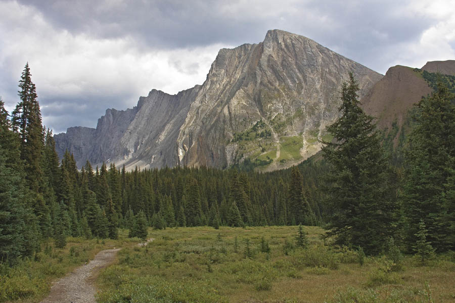
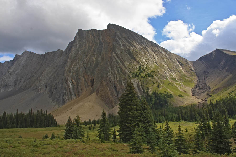
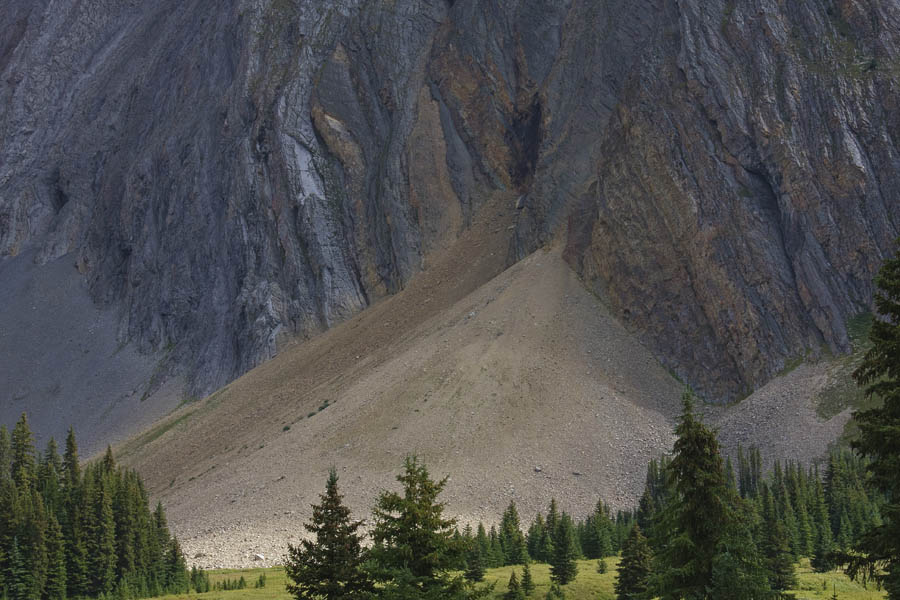
You will note the talus slope (an accumulation of rock debris) at the base of the mountain. The next picture is a close-up of this slope, providing a good sense of its size. I like the strong lines and shapes and the rugged texture of the rock face in this photograph.
Chester Lake came into view shortly after. It is a typical mountain lake, not very large but very scenic. Chester Lake is a brilliant green in colour, the result of rock flour (fine-grained, silt-sized particles of rock, generated by mechanical grinding of bedrock by glacial erosion) suspended in the water. It’s a brilliant gem, guarded on all sides by the imposing peaks surrounding it.
The first views of the lake highlight Mount Galatea on the opposite side. This mountain is an excellent example of folded sedimentary rock that was thrust upward by the tectonic activity that formed it. You can clearly see the folds in the rock, typical of many peaks in this area.
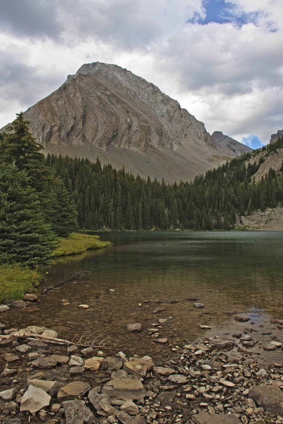
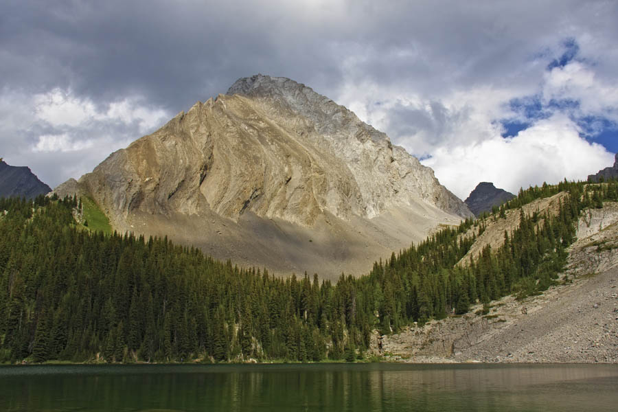
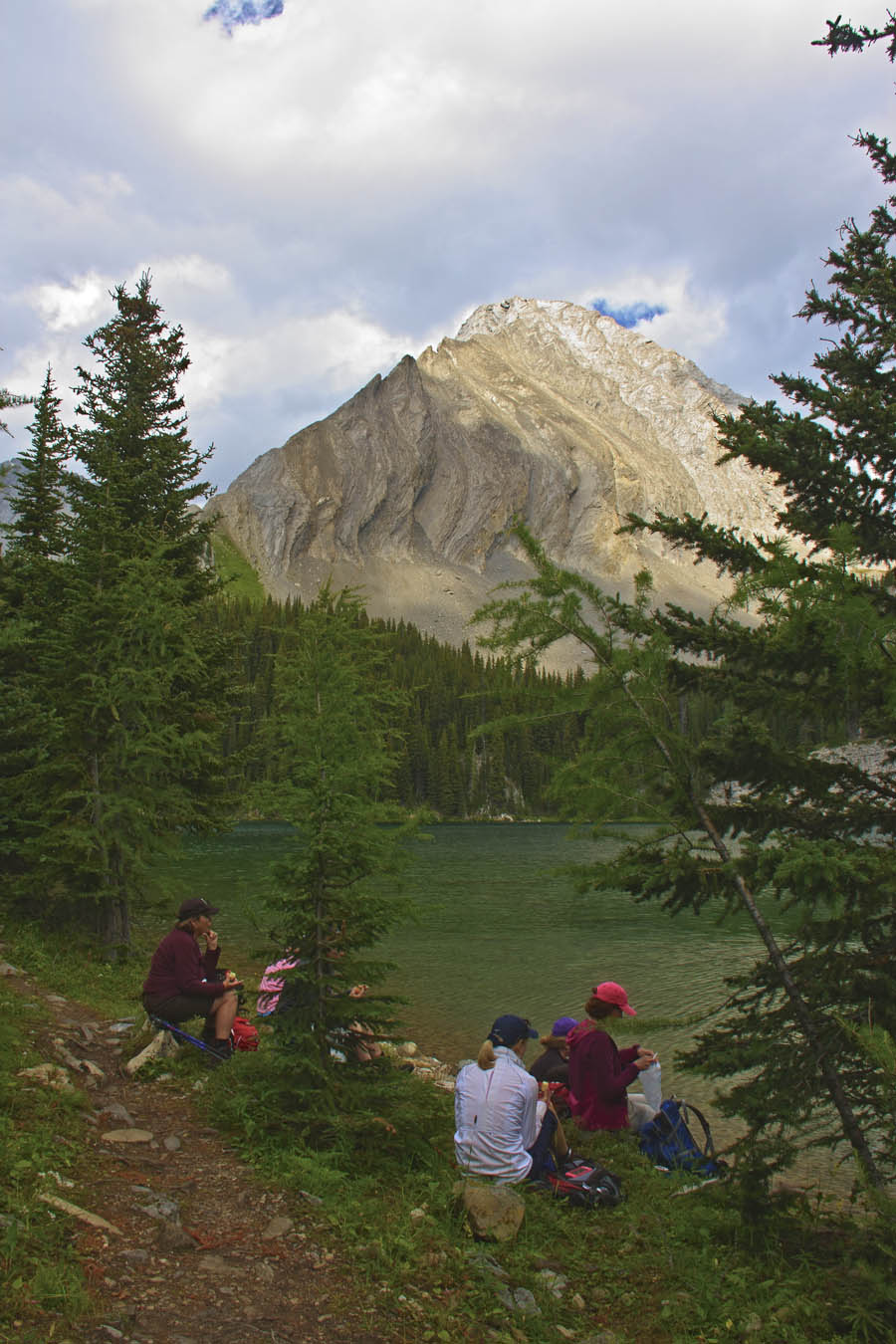
Shortly after our arrival, we found a pleasant lakeside location for lunch. This next picture shows a number of hungry hikers re-fuelling before beginning our trek back to the parking area. I managed to include Mount Galatea in the background of this picture.
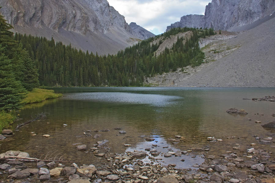
Before departing , I took a few pictures of scenes on the side of the lake opposite Mount Galatea. This first shot was taken at the outflow of Chester Creek from the lake.
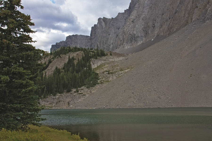
And, my final photo shows the southern shore of the lake, bordered by Mount Chester and another of its talus slopes angled into the water below.
A pleasant hike with a reward at the end. It’s like discovering a pot of gold at the end of a rainbow!
