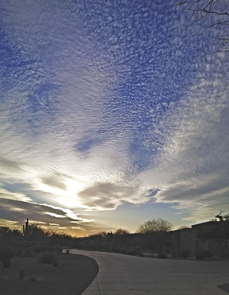
As I walked down our drive the other evening, I couldn’t help but be struck by the brilliant sky. I didn’t have my camera but I did have the next big thing, the iPhone. I was able to grab this snapshot just before the sun had set and with a little help from Photoshop I have a very satisfactory picture. Pretty amazing what the world’s most widely-used camera can do!
This shot is all about the clouds, cirrocumulus to be specific.
Cirrocumulus are high-altitude tropospheric clouds. They usually occur at an altitude of 5 kilometres (16,000 ft) to 12 kilometres (39,000 ft). Ice crystals are the predominant component, and typically, the ice crystals cause the supercooled water drops in the cloud to rapidly freeze, transforming the cirrocumulus into cirrostratus. Thus cirrocumulus clouds are usually short-lived. They usually only form as part of a short-lived transitionary phase within an area of cirrus clouds.
Properly, the term cirrocumulus refers to each cloud, but is typically also used to refer to an entire patch of cirrocumulus. When used in this way, each cirrocumulus element is referred to as a “cloudlet”.

The cloud patterns are quite beautiful and I also like how the partially obscured sun is illuminating them.

Beautiful!
Carol & I agree. It’s gorgeous! The shot also reminds us, although the temp here is -10C, there is warmer weather somewheres and somewheres there are no 1.5M snow banks. Thxs, Pete!