I’ve saved the best for last! Today’s post is about the signature day of our recent photographic excursion to northern Arizona and southern Utah. Bob and I visited a relatively unknown location, referred to as “The Wave”. It is not part of the National Park system, but rather a small, isolated and very unique site, situated in the Coyote Buttes Land Management Area, administered by the U.S. Bureau of Land Management. Access is strictly controlled, limited to 20 persons daily. This area is virtually untouched and the BLM is charged with preserving its sensitive ecology. Access is granted by lottery. There is an online lottery which allots 10 permits per day, four months in advance. There is a second lottery which allots the remaining 10 permits for a given day on the day before. We struck out on the online lottery, so we made our appearance at the BLM’s office in Kanab, UT on the day before our planned hike. The demand for permits has grown in recent years, so the odds of success are not great. We kept our expectations in check, not really believing we’d be successful. But our hopes were fulfilled, ours was the first number drawn and we were in!
We faced yet one other obstacle, the weather. The 8.3 mile (13.25 km) road into the trailhead is built upon clay and becomes impassable with even a small amount of precipitation. The forecast was not good but we decided to get started early, hoping to get out by noon when the weather was expected to deteriorate. We joined forces with a couple from Lancaster, Pa., Peggy and Ben May who met us at the turn-off to the House Rock Valley Road. Despite a light snowfall over night, the road seemed alright and we set out on the 30 minute drive to the Wire Pass Trailhead.
We departed the trailhead amid falling snow, intent on reaching our destination, about 2.5 miles distant. The hike is not overly difficult, with a net elevation gain of 350 ft. (107 metres). Of course, there were many ups and downs, so we likely completed the 350 ft ascent a number of times. The challenge is finding the The Wave. It is a very small site, 2-3 acres (0.8-1.2 hectares) in area amid the expanse of the Coyote Buttes, an area of 188.75 square miles (488.861 km²). There is no marked trail so we had to rely on a map provided by the BLM to navigate by geological landmarks. I also brought a GPS unit which reassured us that we were on the intended track. We navigated the route in about 1-1/2 hours, quicker than we expected.
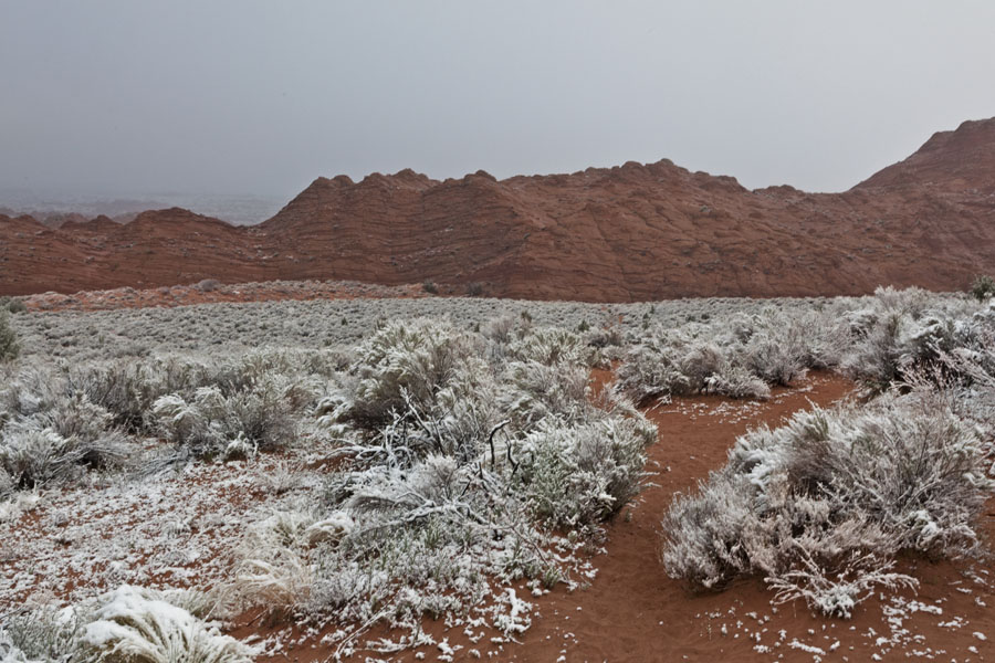
I begin the photographs with some scenes along our trek inward. You’ll note the freshly fallen snow from the night before, enough to beautify the landscape but not enough to make the road impassable.
This first picture was taken near the beginning of the hike inward, an area of red sand and sage brush.
At this point in the hike, we’re walking on sandstone. The weather is clearing and the snow melting.
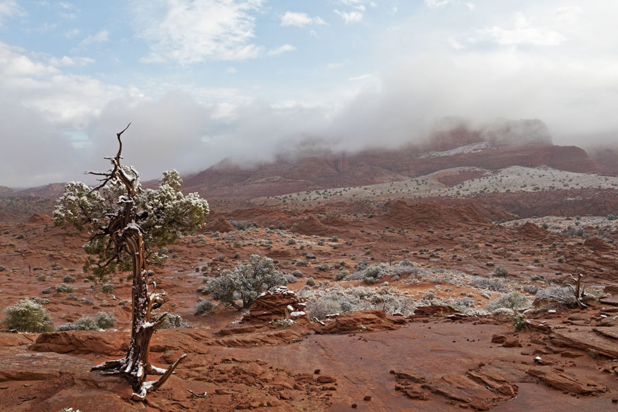
This scene reminds us that we’re in a desert in the wilderness of Utah and Arizona. It’s part of the Colorado Plateau and the landscape is red almost everywhere. The short-lived snow adds a nice accent to the red and sparse green of the vegetation.
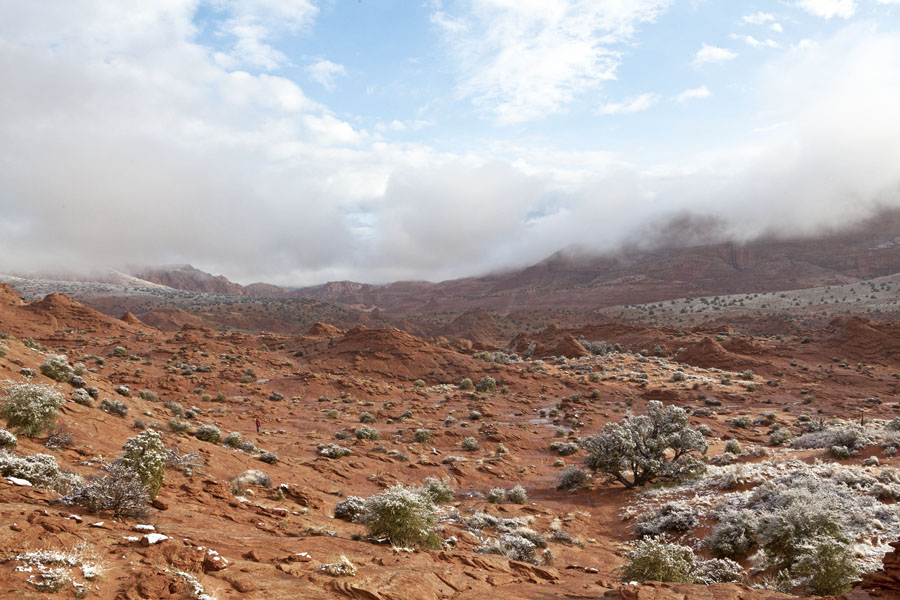
As we approached The Wave, we were joined by another hiker, Avery Shawler who had also been successful in the previous day’s lottery. We were the first group of the day to arrive and enjoyed an hour of uninterrupted exploration before we decided to leave. It’s so nice to get the photographs without competing with crowds for space. To add euphoria to bliss, the snow and rain stopped, the sun came out and conditions were almost ideal for photography.
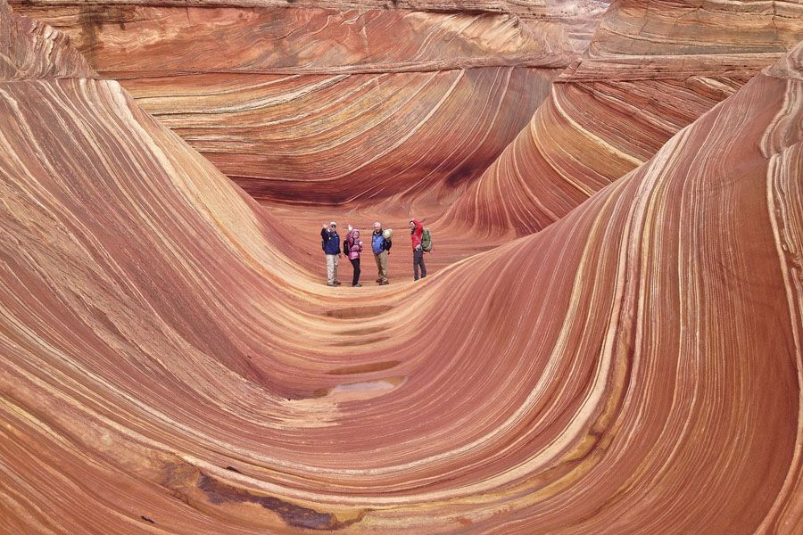
I could write a fulsome account of what we saw at The Wave, but you’d soon be asleep. And, I do have photographs! So, a brief description of The Wave’s origin should be sufficient before you reach the slideshow. The Wave consists of intersecting U-shaped troughs that have been eroded into the Navajo Sandstone. Initially, infrequent runoff eroded these troughs along joints within the sandstone. After their formation, the drainage basin, which fed rainwater to these troughs, shrank to the point that the runoff became insufficient to contribute to the cutting of the troughs. As a result, the troughs are now almost exclusively eroded by wind.
Here’s the slideshow, click on the arrow to begin. The slideshow will progress on its own. Click on the pause button at the bottom right to end the show.
We bid farewell to the Wave at about 10:00 am and began our return hike to the trailhead. In this next photograph, you can see Ben, Peggy, Bob and Avery signalling their departure.
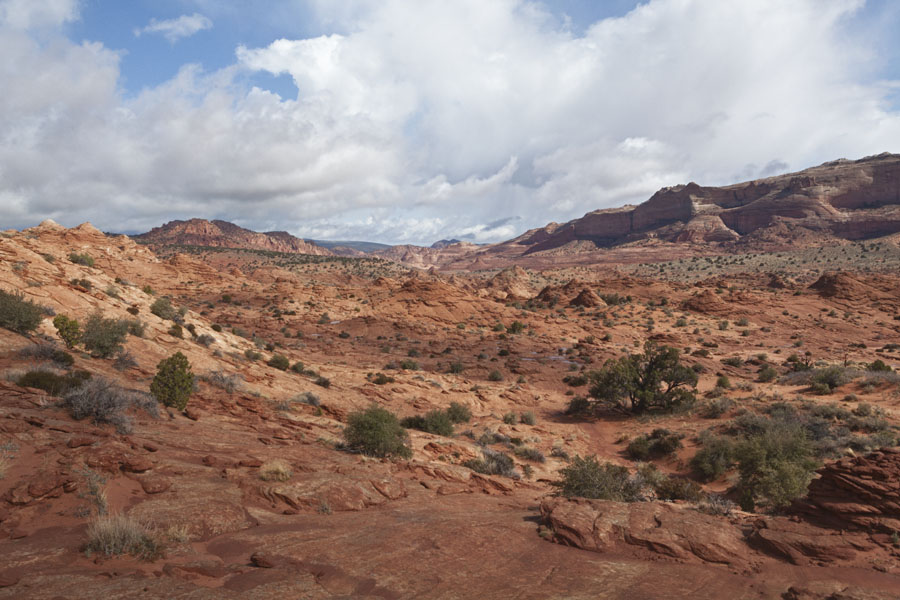
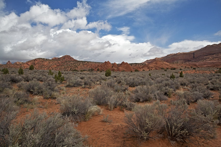
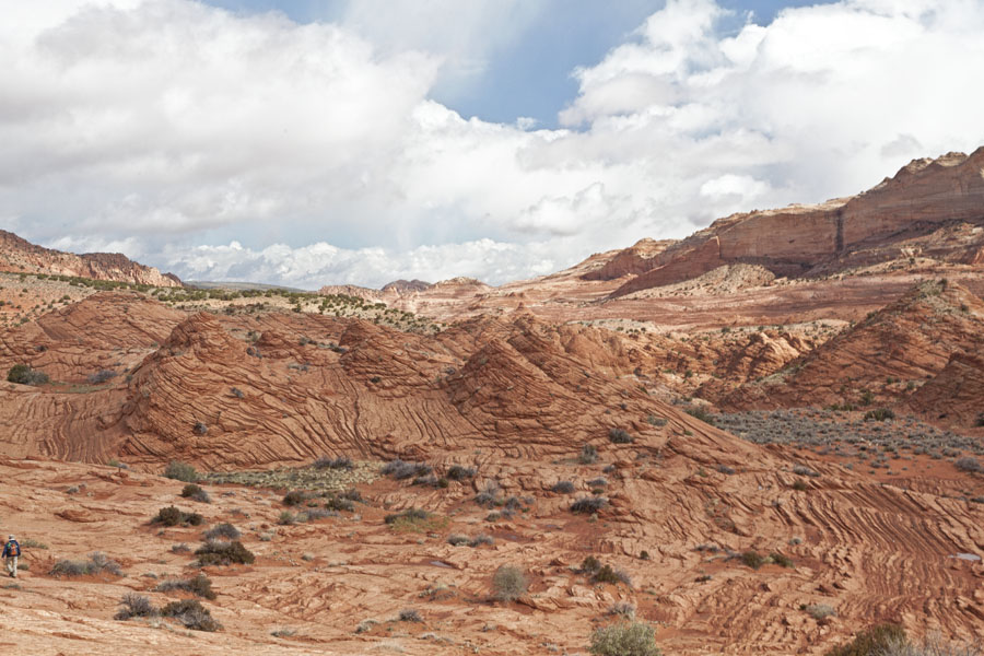
I’ve included a few last photos of the scenery taken on our trek outward. A few hours makes a big difference; the landscape looks quite different absent the snow. It’s beautiful, what more can I say?
We arrived back at the trailhead in time to exit the area before any serious precipitation. As we traveled Highway 89 back toward Kanab, dark clouds rolled in, pretty much on schedule. We don’t know what happened after we left Coyote Buttes, but we were very pleased to have enjoyed our hike, to have experienced the marvel of The Wave and to have had the good fortune to avoid any bad weather.
Our thanks to Peggy, Avery and Ben for contributing to the enjoyment of our Wave experience.

