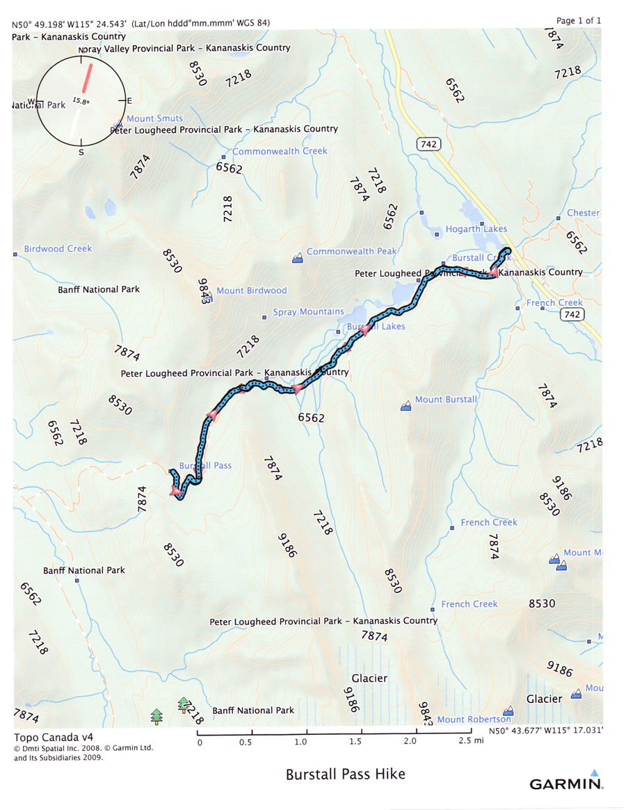
I participated in a hike to the Burstall Pass yesterday, along with friends from our golf course. The trailhead for the hike is located about 45 km (28 miles) south of Canmore on the Spray Lakes Road, a little over a 1/2 hour drive. The hike is a round trip of 14.8 km (9.2 miles) with an ascent of 470 m (1,550 ft) to the pass. We had planned to continue to the summit of Snow Peak, but an unexpected change in the weather (a blizzard) discouraged that idea. Following is a map of the route we followed. We began our hike on bicycles, following an old logging road about 4 km (2.5 miles) until reaching Burstall Creek. Here we parked the bicycles, removed our hiking boots and proceeded across the many braids of this glacier-fed stream, wearing only sandals. It’s a distance of 0.5 km (.3 miles) and believe me it’s cold. We then put our boots back on and proceeded on to the pass at an elevation of 2,400 m (7,874 ft).
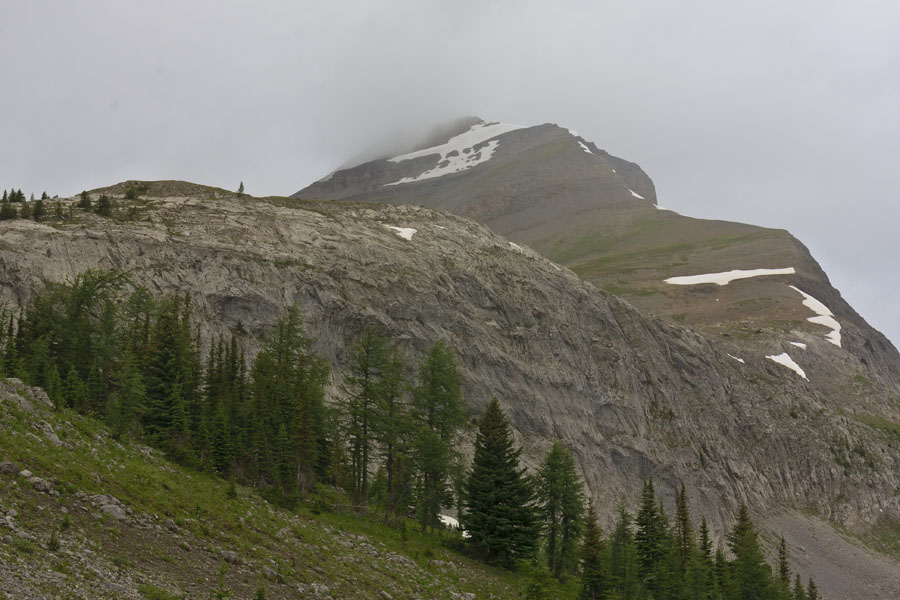
My first picture today was taken during the ascent at a location just below our intended destination, Snow Peak. We actually moved on a little past Burstall Pass to a location at the base of the ridge we would have followed to the peak (middle right side of the photo, in the area surrounded by snow). By the time we reached that point the weather had deteriorated and we elected to descend back to the trailhead.
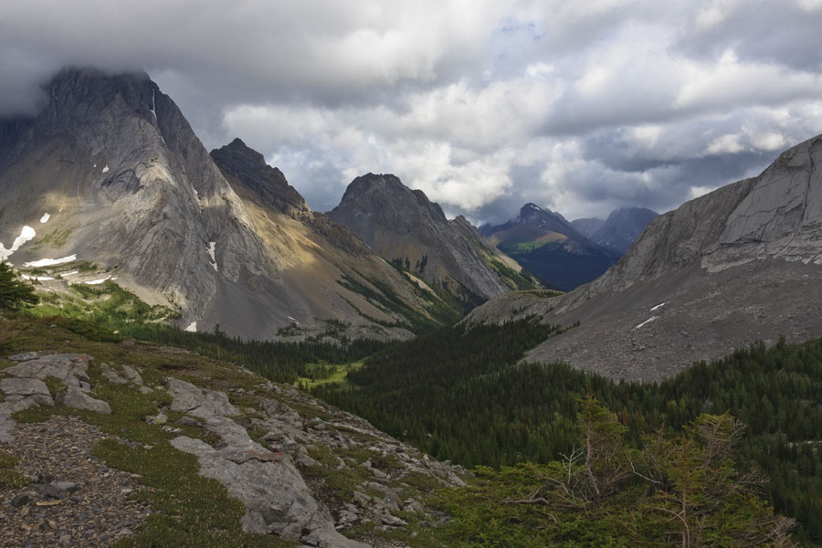
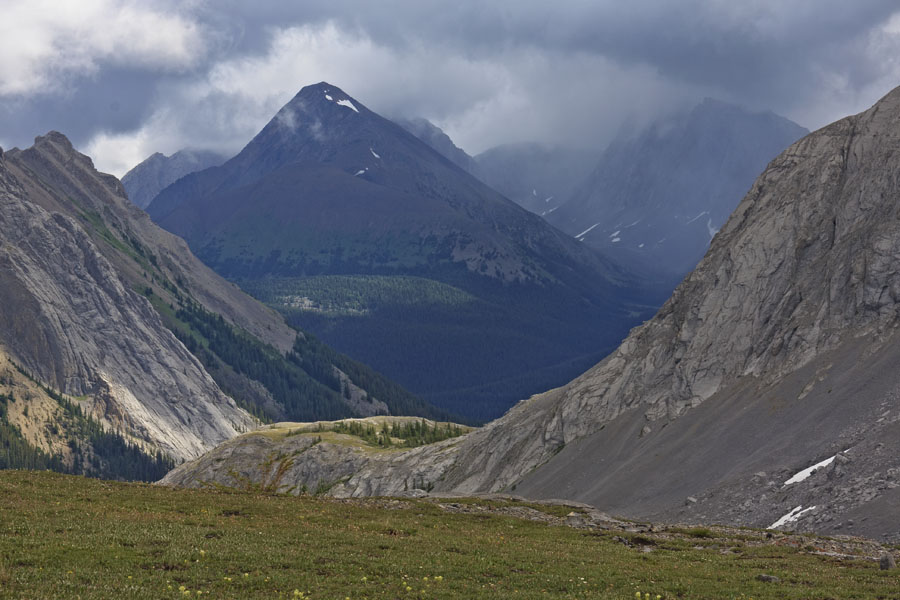
We did enjoy some pleasant weather at the Burstall Pass before the blizzard. We took time to have our lunch and I was able to take a few pictures down the valley toward the trailhead. Next is my favourite picture for the day, featuring the Spray Mountains (Mt. Birdwood, Pigs Tail and Commonwealth Peak) bordering the north side of the valley. The northern slope of Whistling Rock Peak borders the scene on the right. The light patterns in this photograph are beautiful, the combination of light and shadow produced by gaps in the clouds.
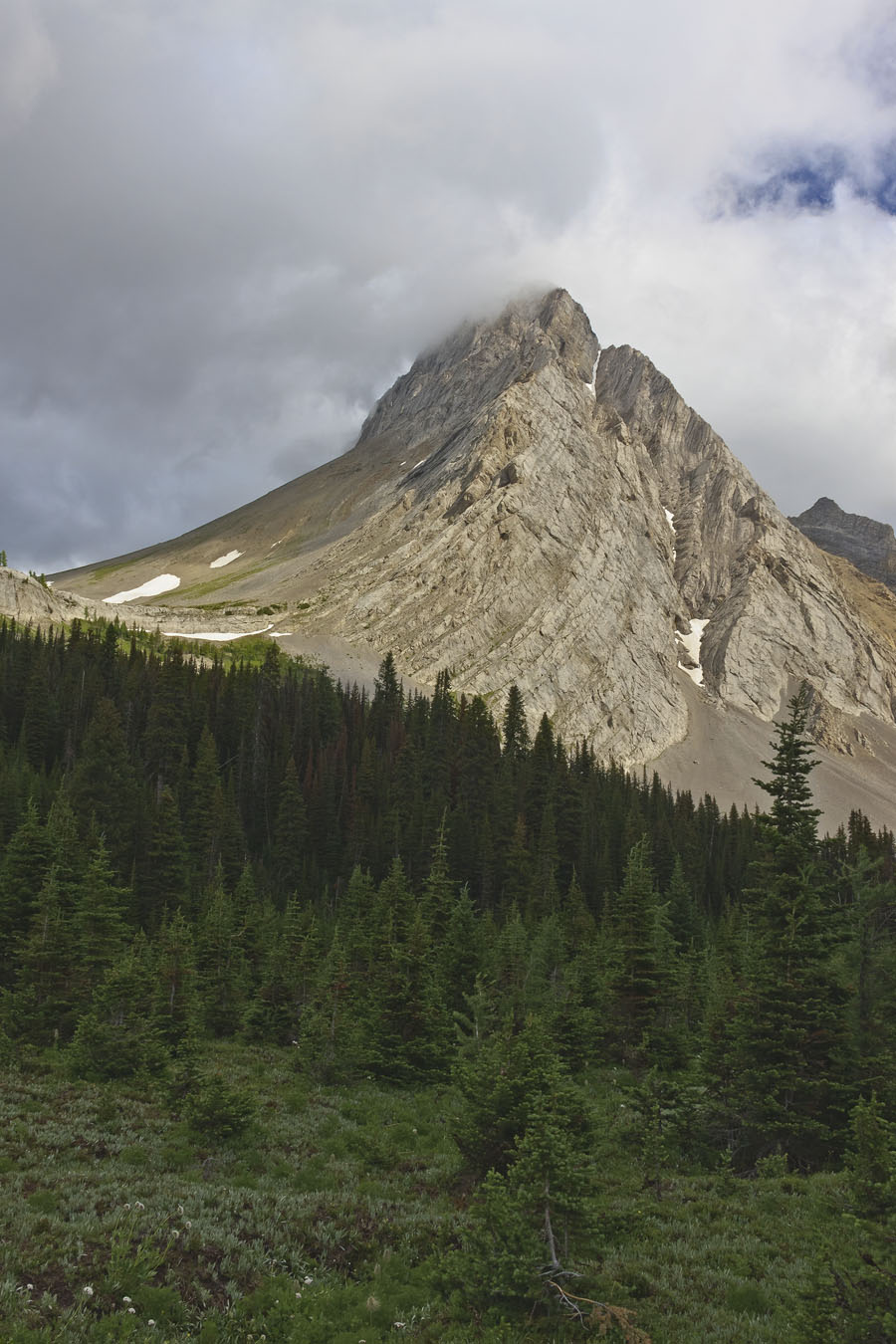
The next photograph is a close-up of Mount Birdwood, the first of the Spray Mountains, looking eastward from the pass. There is still a glimpse of blue sky and still pleasant weather.
I zoomed to 80 mm focal length to take this next picture, featuring Mount Galatea, part of the Kananaskis Range on the opposite side of the Spray Lakes Road where we began our hike. To its right, largely obscured by cloud, is Mount Chester, the destination of one of our hikes last year.
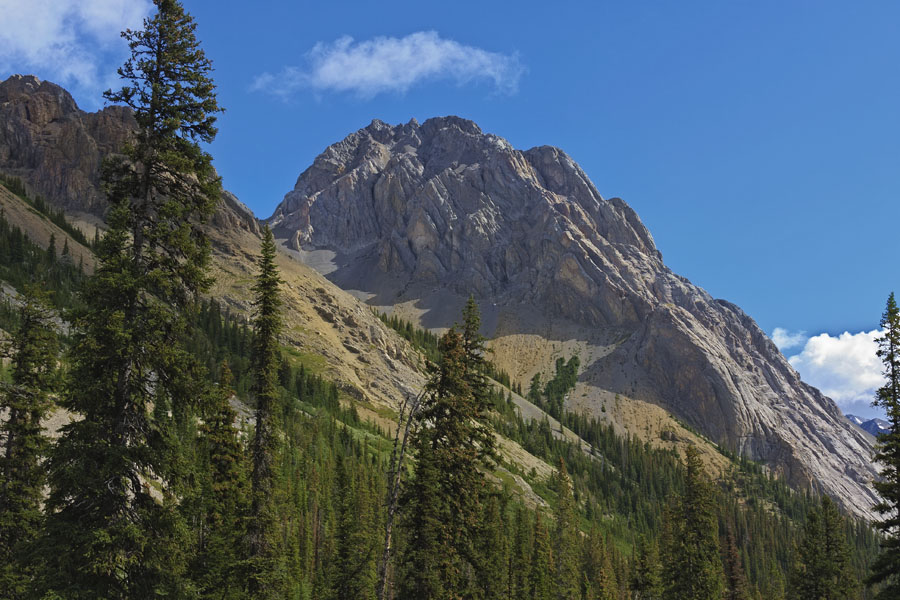
My final scene for today is a close-up view of Commonwealth Peak, taken earlier in the hike from just past the midway point.
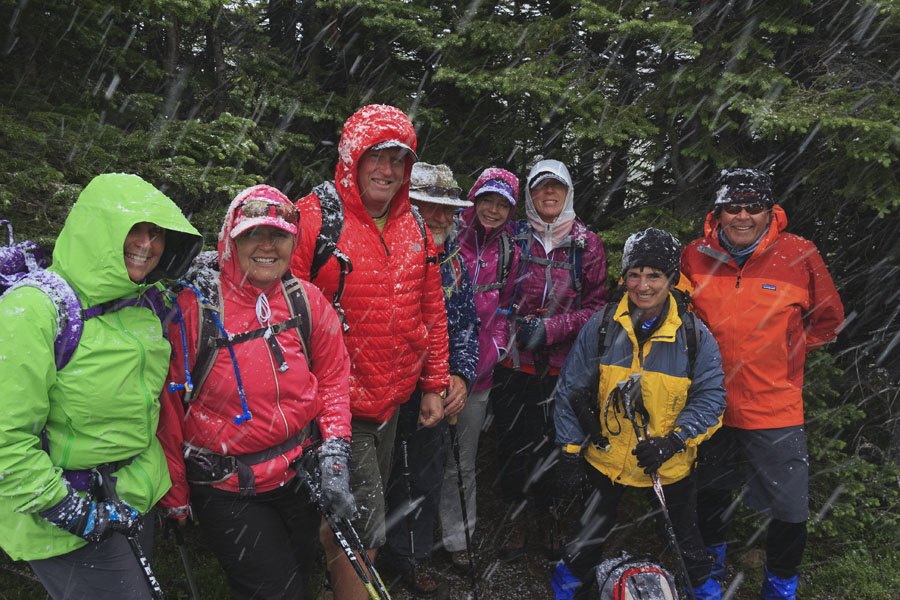
I conclude today’s post with a shot of our dauntless company of hikers, huddling in the shelter of some trees just below the pass, soon after our aborted attempt to reach the summit of Snow Peak. A blizzard in July?
Shortly afterward we began our descent, meeting a second section of our company on the way down. We all returned to the trailhead safely and retired to the Sage Bistro in Canmore.

Beautiful pictures Peter. Brought back memories of when we hiked.