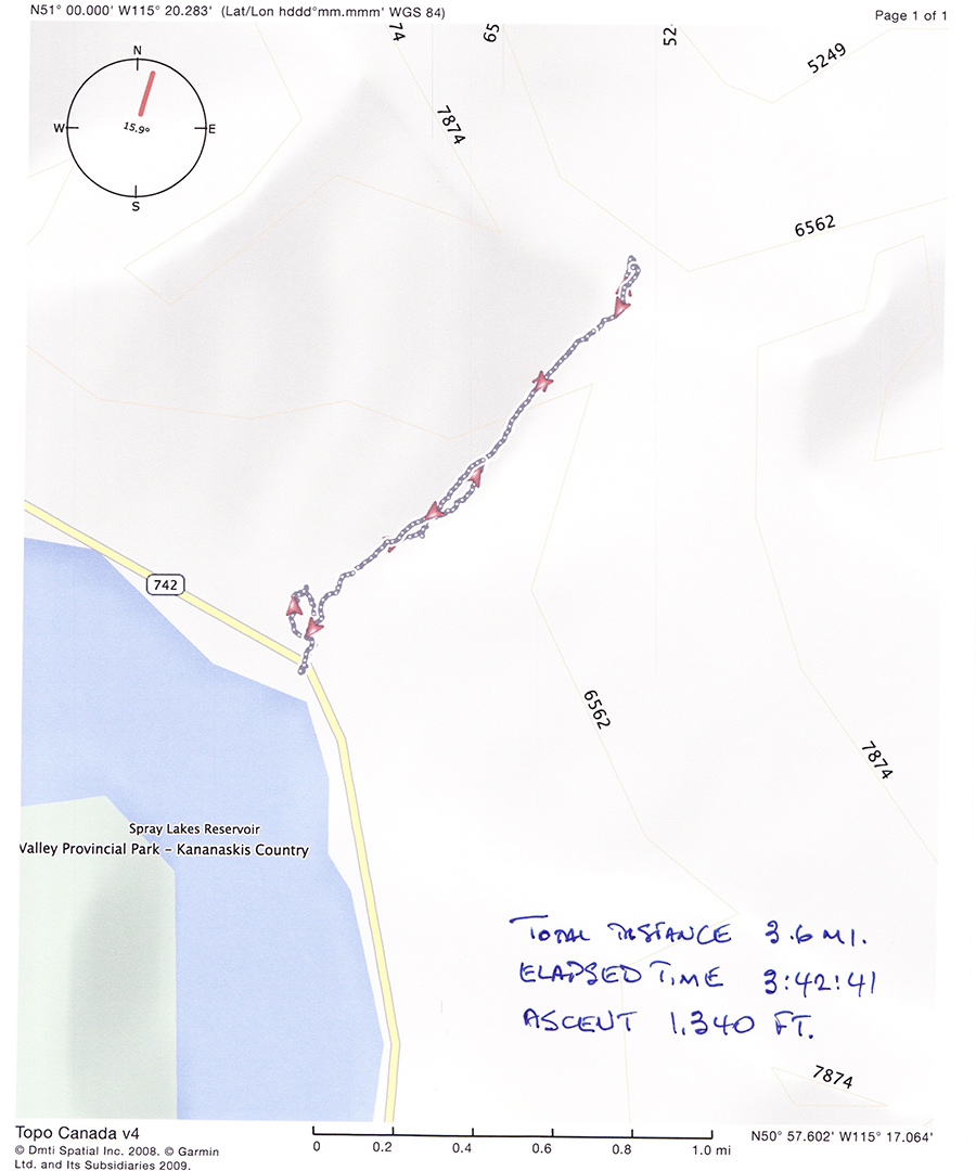
Yesterday, I marked the Labour Day Holiday with a hike up into the mountains in the area behind Canmore. I was accompanied by Tammy Howell and her friend Jeff Winkelstein. It’s a short drive from home, about 23 km or about 30 minutes to the trailhead on the Smith-Dorrien Highway. From the trailhead, it’s a steady climb to the pass, 2.3 km up. Following is a printout of the GPS log showing some details of the route we took.
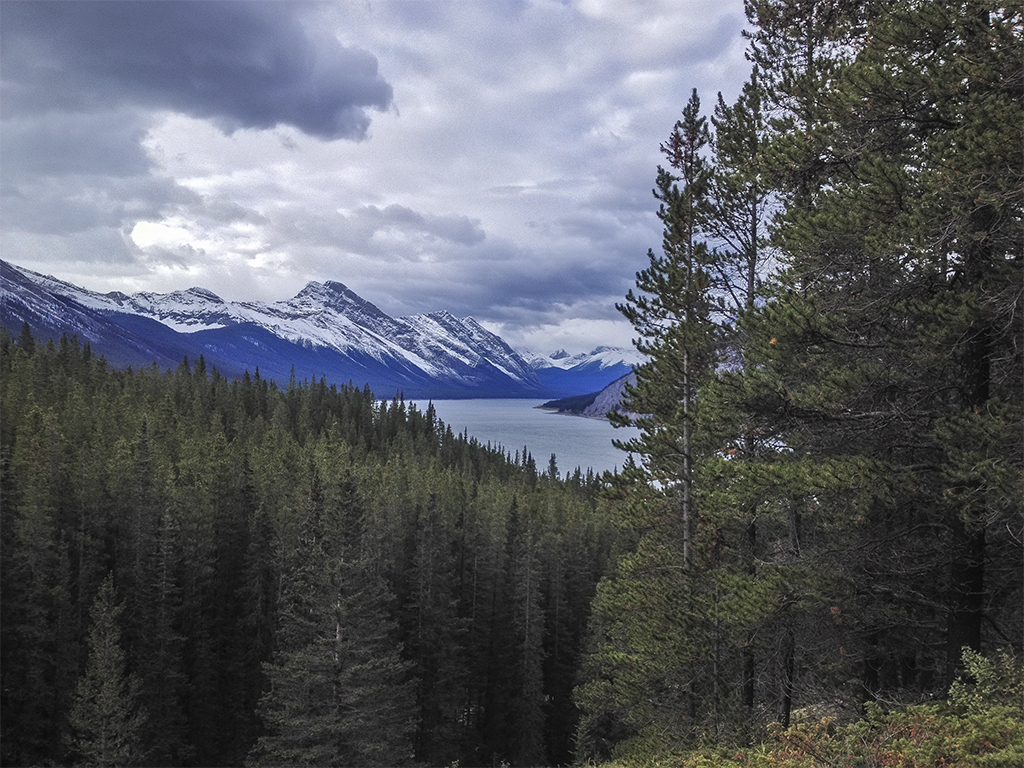
For the most part, the trail parallels Spurling Creek through heavily wooded forest. There are occasional breaks in the trees along the trail that offer great views back toward Spray Lake and the Goat Range on its opposite side. This first example is a view directly south along the lake and shows Mount Buller on the lake’s eastern side.
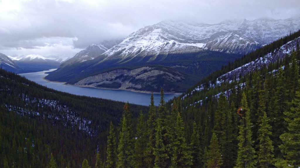
From another break in the trees, I got this next shot of Old Goat Mountain, directly across the lake from the trailhead.
There isn’t much more to see on the way up (or down); the views are all at the top. The “top” is the pass itself, part of a ridge running between the Three Sisters (about 4 kilometres to the northwest) and The Windtower, an adjacent peak to the southeast. A mountain pass is a route through a mountain range or over a ridge. If following the lowest possible route, a pass is the highest point on that route. The brisk air movement through this pass made clear the source of its name.
Although visibility was a little reduced due to the weather, we still enjoyed the sights, had lunch and snapped a few photographs. The first one I’m showing you is a a higher section of the ridge connecting Windtower to the Three Sisters.
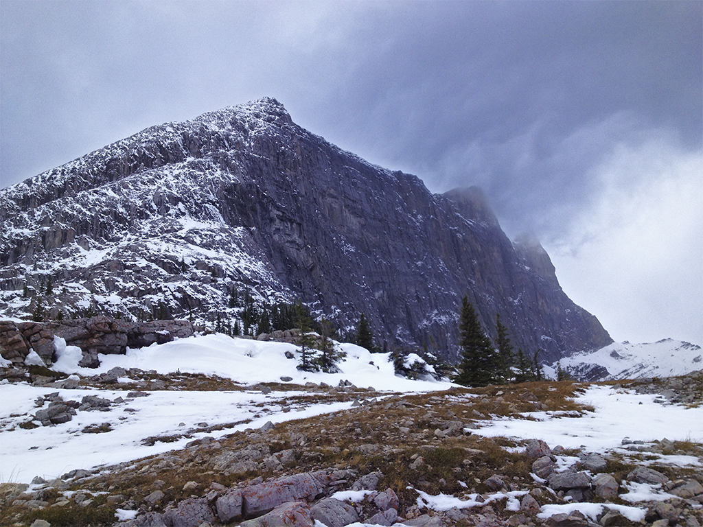
The southeast end of the pass is flanked by The Windtower, a prominent peak in the area. There wasn’t much colour to be seen on this mountain on this day, so I went all the way and converted the image to black and white. For reference, I was standing at an elevation of 2,085 m (6,841 ft) when I photographed this peak whose summit is at 2,695 m (8,842 ft); 610 m (2, 000 ft) above me. You can hike up there, but not on this day!
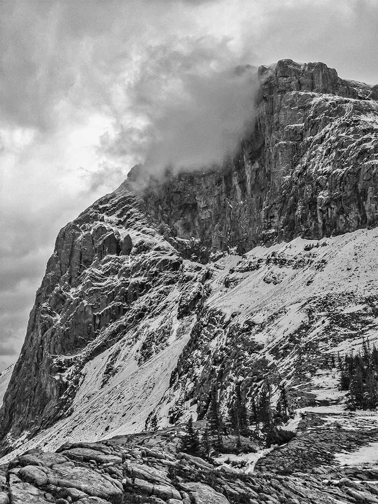
Here’s a close-up view of an area on Windtower, closer to my eye level. I include this picture because I like the rock patterns on the floor of the pass. The entire area (quite large) is littered with stone with the hardy plants that inhabit this area struggling through to get some light.
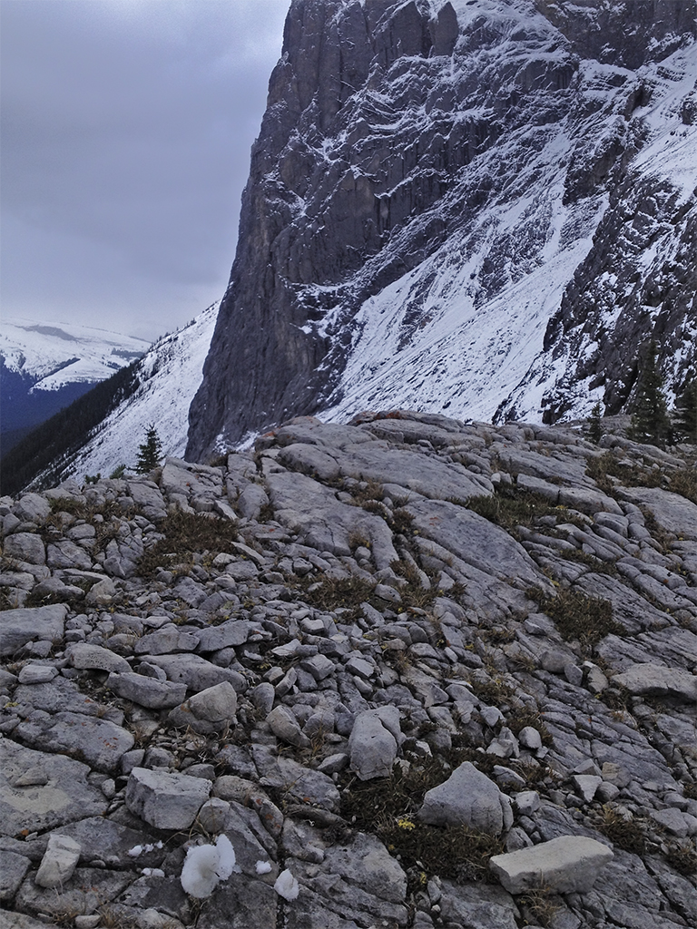
Below the pass is Wind Valley, an expansive bowl between the mountains, bounded on its northwest side by Wind Ridge. In the gap to the right of the ridge is the small community of Dead Man’s Flats, a popular truck stop on the Trans-Canada Highway. Before you ask, the origin of that unusual name can be found here Dead Man’s Flats?
This is as close as I got to the cliff face descending to the Wind Valley, about 600 m (~2000 ft) down!

It may look as though it was a bit chilly up there. That is true. Particularly with a moderate wind blowing. After about 30 minutes at the pass, we welcomed the protection from the wind as we re-entered the forest and the warming temperature as we returned to the lower altitude of the valley.
Photography Note: I chose not to carry a DSLR camera today, using my iPhone to take all the pictures.
